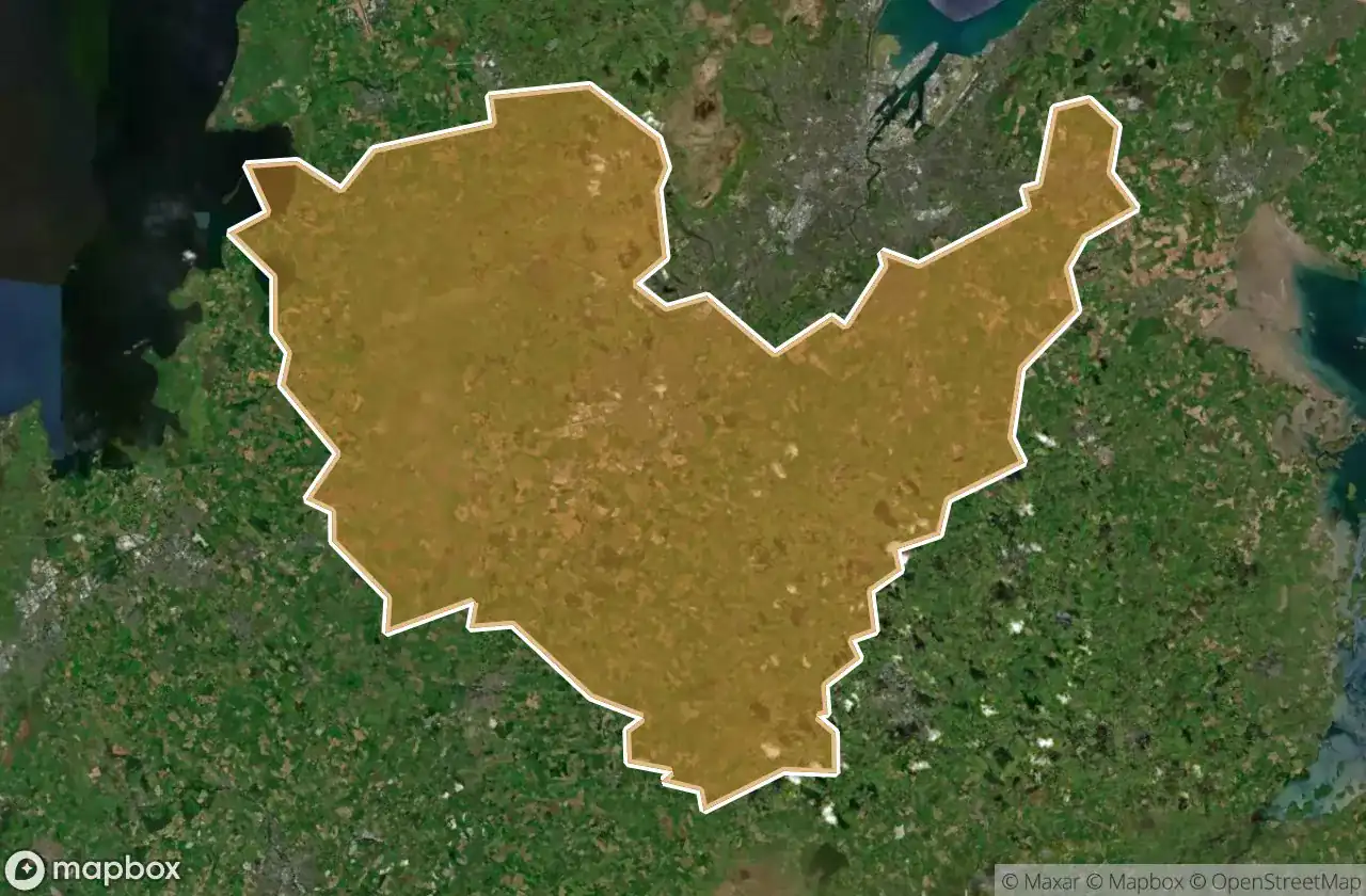
Urbex マップ Lisburn And Castlereagh
21 の廃墟: Lisburn And Castlereagh
21
スポット
一回払い - 永久アクセス
100% 安全な決済
SSL暗号化通信 · 銀行情報は保存されません
永久更新
このパックに含まれるテーマ
- 水道橋
- バンカー
- 病院
- 軍事
すべての廃墟: Lisburn And Castlereagh
21 の検証済みGPS座標、 Lisburn And Castlereagh, Northern Ireland, イギリス.
Looking for abandoned places in Lisburn And Castlereagh, Northern Ireland, イギリス? Urbex Maps offers 21 verified GPS coordinates of abandoned buildings in this area, including 水道橋, バンカー, 病院, 軍事.
21
verified spots
GPS
Google Maps, Waze
2026年6月
last update
Where to find abandoned places in Lisburn And Castlereagh?
The best way to find abandoned places in Lisburn And Castlereagh is through the interactive urbex map on Urbex Maps with 21 verified GPS coordinates. Top categories are 水道橋, バンカー, 病院, 軍事.
Types of abandoned places in Lisburn And Castlereagh
- 水道橋
- バンカー
- 病院
- 軍事
スポット: Lisburn And Castlereagh

BFS Hospital

Ballyskeagh Road, Drumbeg

Bells Lane, Lisburn

Broad Water Cycle Path, Aghalee

Diabetic Retinopathy Service, Lisburn

Glen Road, Glenavy

Glenavy

Glenavy Road, Lisburn

Honey we forgot the kids

Knockbracken Healthcare Park, Carryduff

Knockbracken Healthcare Park, Carryduff

Knockbracken Healthcare Park, Purdysburn

Lagmore Aqueduct

Monster of steel

Robert Stewart Spirits Grocer, Drumbeg

Shadows in the Coordinates

The Geometry of Absence

The Geometry of Absence

The Imported Void

Traces of Forgotten Coordinates

Tracing the Imported Void