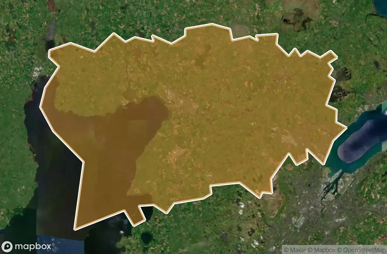
Urbex マップ Antrim And Newtownabbey
19 の廃墟: Antrim And Newtownabbey
19
スポット
一回払い - 永久アクセス
100% 安全な決済
SSL暗号化通信 · 銀行情報は保存されません
永久更新
すべての廃墟: Antrim And Newtownabbey
19 の検証済みGPS座標、 Antrim And Newtownabbey, Northern Ireland, イギリス.
Looking for abandoned places in Antrim And Newtownabbey, Northern Ireland, イギリス? Urbex Maps offers 19 verified GPS coordinates of abandoned buildings in this area, including .
19
verified spots
GPS
Google Maps, Waze
2026年6月
last update
Where to find abandoned places in Antrim And Newtownabbey?
The best way to find abandoned places in Antrim And Newtownabbey is through the interactive urbex map on Urbex Maps with 19 verified GPS coordinates. Top categories are .
スポット: Antrim And Newtownabbey

Antrim Road, Antrim and Newtownabbey District

Castle Lug, Antrim and Newtownabbey District

Crumlin

Grange Lane, Antrim and Newtownabbey District

Grange Lane, Antrim and Newtownabbey District

Hydepark Road, Antrim and Newtownabbey District

M2, Antrim and Newtownabbey District

Mallusk Road, Antrim and Newtownabbey District

Old Church Road, Newtownabbey

Riverside Special School, Antrim

The Geometry of Absence

The Grid’s Silent Echo

The Imported Silence

The Phantom Coordinate

The Plotted Void

Traces of Deleted Space

Traces of the Imported Void

Vertices Of A Silence

Whiteabbey Hospital, Newtownabbey