Urbex マップ Wirral
17 の廃墟: Wirral
17
スポット
一回払い - 永久アクセス
100% 安全な決済
SSL暗号化通信 · 銀行情報は保存されません
永久更新
このパックに含まれるテーマ
- 廃墟
すべての廃墟: Wirral
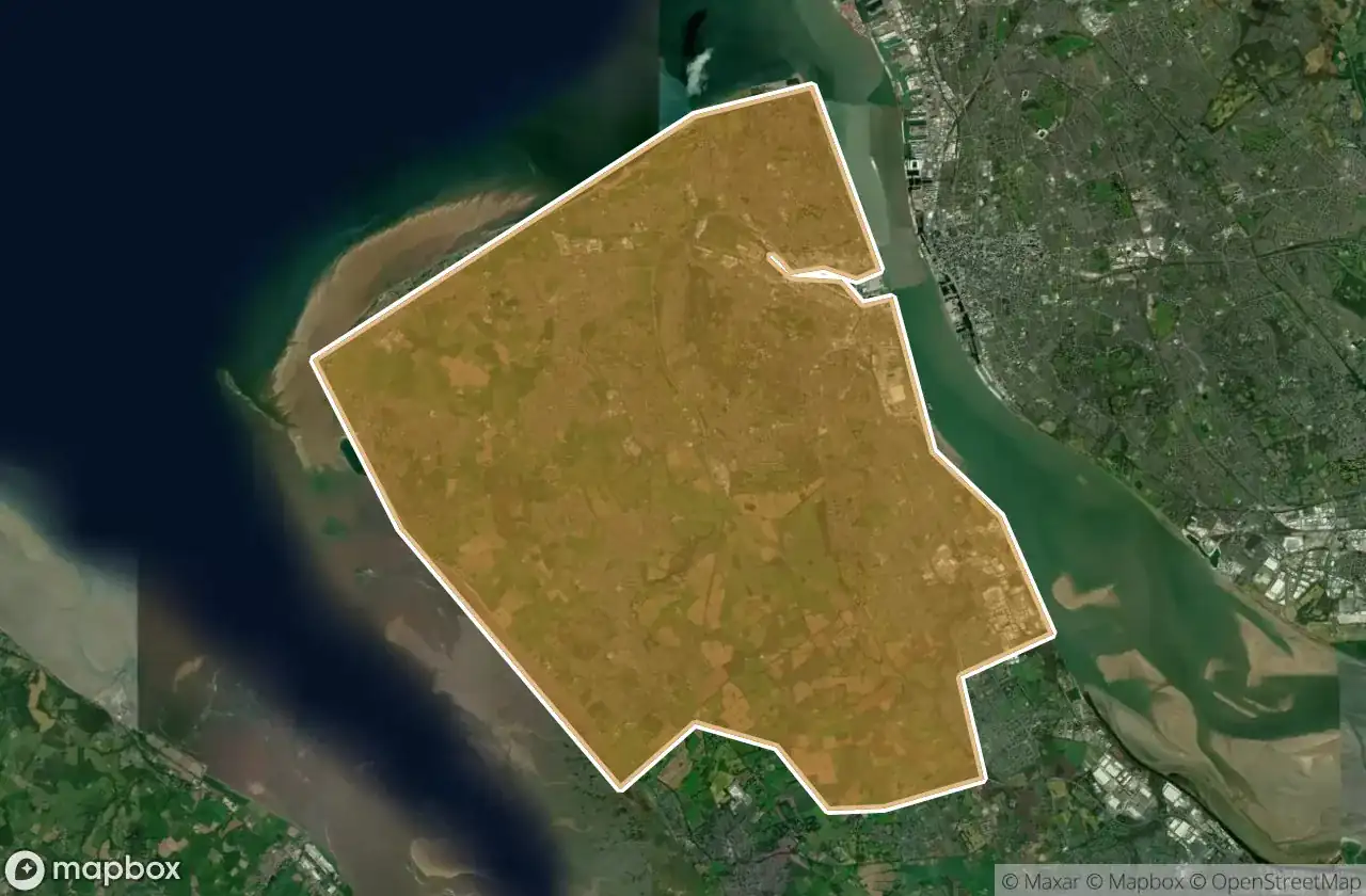
17 の検証済みGPS座標、 Wirral, England, イギリス.
Looking for abandoned places in Wirral, England, イギリス? Urbex Maps offers 17 verified GPS coordinates of abandoned buildings in this area, including 廃墟.
17
verified spots
GPS
Google Maps, Waze
2026年6月
last update
Where to find abandoned places in Wirral?
The best way to find abandoned places in Wirral is through the interactive urbex map on Urbex Maps with 17 verified GPS coordinates. Top categories are 廃墟.
Types of abandoned places in Wirral
- 廃墟
スポット: Wirral

Birkenhead Priory, Birkenhead

Carr Bridge Road, Upton

Conway Street, Birkenhead

Dock Road North, New Ferry

Gilbrook School, Upton

HMS Bronington, Wallasey

Hoylake

Moreton

Rake Lane, Wallasey

Riverbank Road, Bromborough

Rock Park Road, Birkenhead

St Alban's Road, Wallasey

The Latent Coordinate

The Moorings, Heswall

Traces Within The Grid

Waterloo Place, Birkenhead

Whispers from the Grid