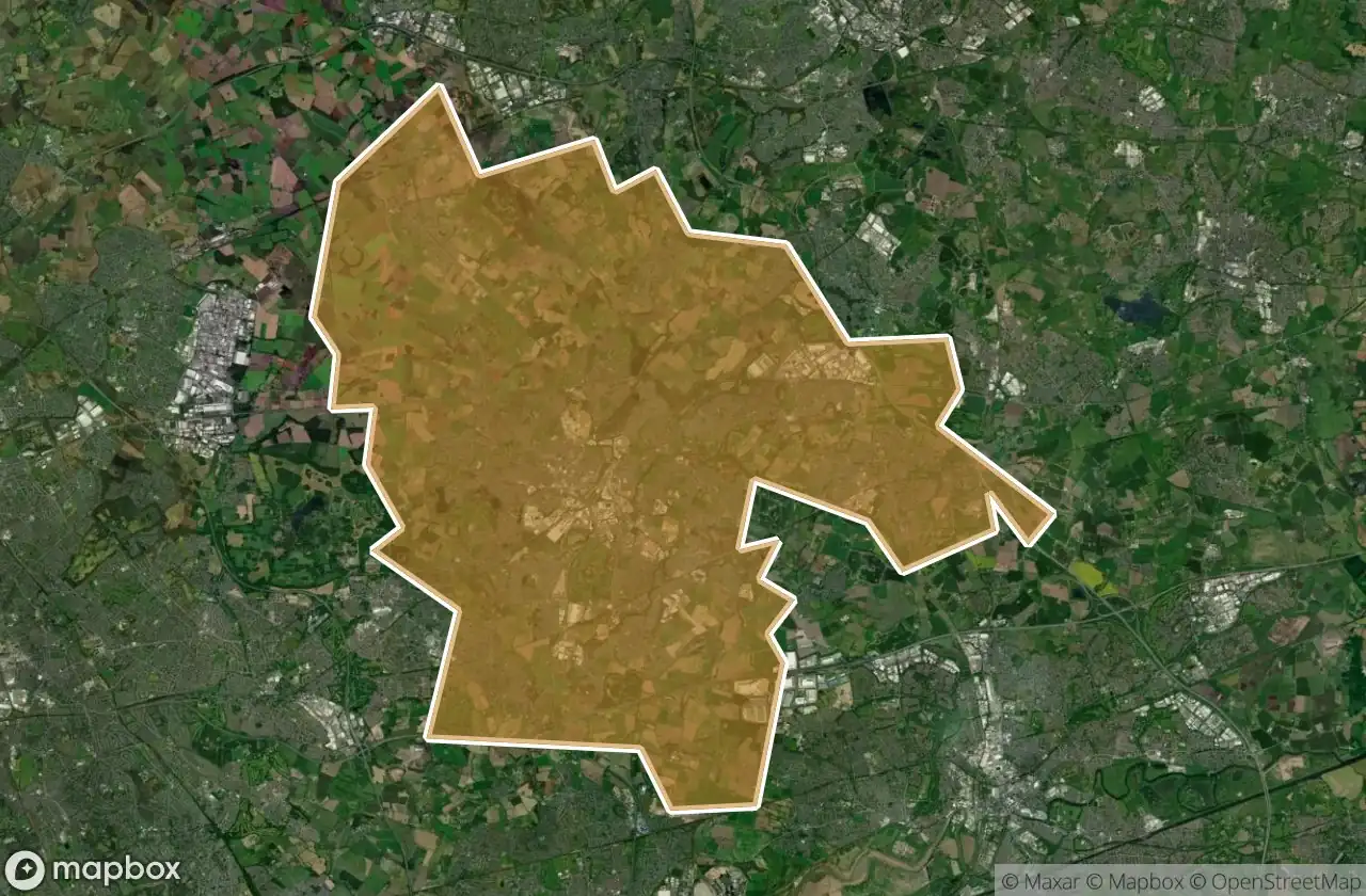
Urbex マップ St Helens
20 の廃墟: St Helens
20
スポット
一回払い - 永久アクセス
100% 安全な決済
SSL暗号化通信 · 銀行情報は保存されません
永久更新
このパックに含まれるテーマ
- 砲台
- バンカー
すべての廃墟: St Helens
20 の検証済みGPS座標、 St Helens, England, イギリス.
Looking for abandoned places in St Helens, England, イギリス? Urbex Maps offers 20 verified GPS coordinates of abandoned buildings in this area, including 砲台, バンカー.
20
verified spots
GPS
Google Maps, Waze
2026年6月
last update
Where to find abandoned places in St Helens?
The best way to find abandoned places in St Helens is through the interactive urbex map on Urbex Maps with 20 verified GPS coordinates. Top categories are 砲台, バンカー.
Types of abandoned places in St Helens
- 砲台
- バンカー
スポット: St Helens

Abbey Road, Moss Bank

Cannington Shaw Bottle Shop

Central Way, Newton-le-Willows

Crank, St Helens

East Lancashire Road, Blackbrook

King's Moss, Billinge

Leyland Green, Downall Green

Leyland Green, Downall Green

Lionel Street, St Helens

Military battery

Monastery Lane, St Helens

Parkside Colliery

Parkside Link Road West, Newton-le-Willows

St Helens

St Helens

St Helens

St Helens

The Geometry of Silence

The Millstone

Widnes