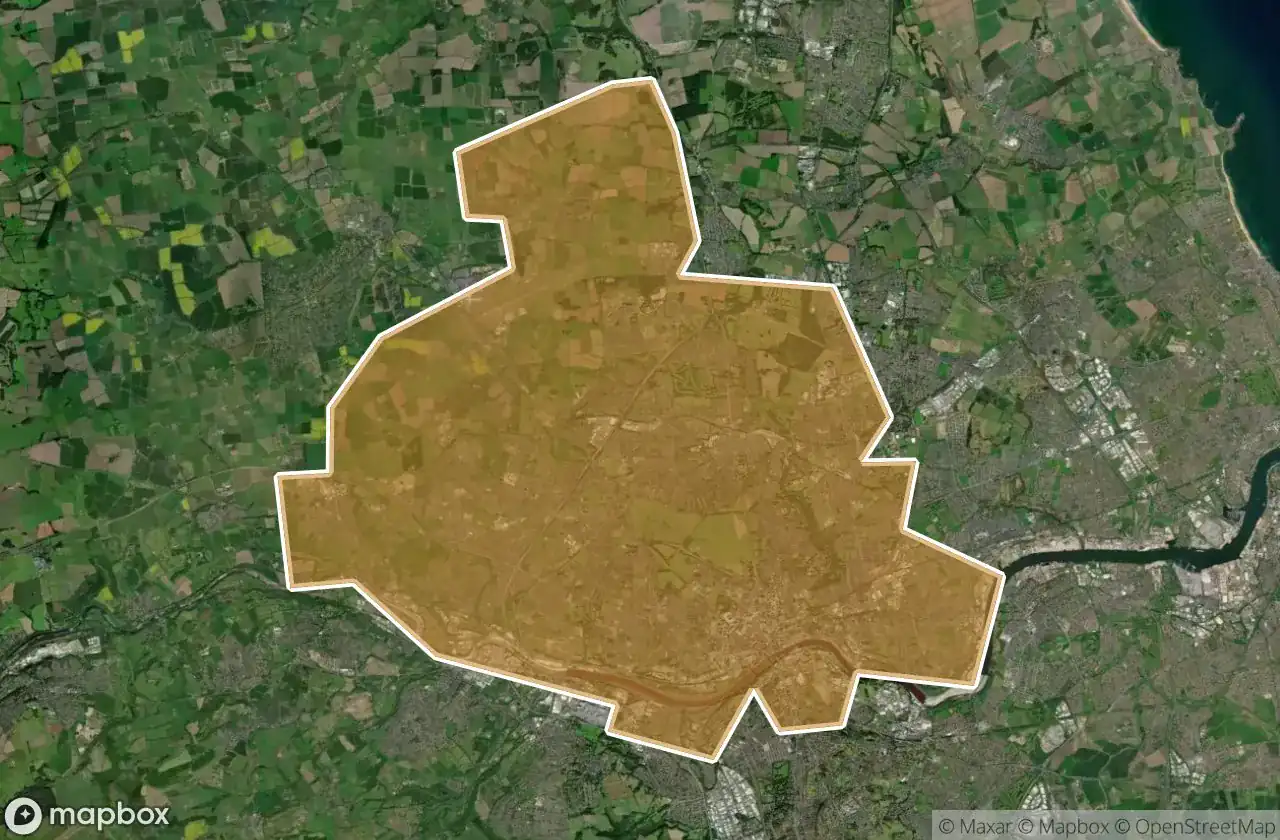
Urbex マップ Newcastle Upon Tyne
17 の廃墟: Newcastle Upon Tyne
17
スポット
一回払い - 永久アクセス
100% 安全な決済
SSL暗号化通信 · 銀行情報は保存されません
永久更新
すべての廃墟: Newcastle Upon Tyne
17 の検証済みGPS座標、 Newcastle Upon Tyne, England, イギリス.
Looking for abandoned places in Newcastle Upon Tyne, England, イギリス? Urbex Maps offers 17 verified GPS coordinates of abandoned buildings in this area, including .
17
verified spots
GPS
Google Maps, Waze
2026年6月
last update
Where to find abandoned places in Newcastle Upon Tyne?
The best way to find abandoned places in Newcastle Upon Tyne is through the interactive urbex map on Urbex Maps with 17 verified GPS coordinates. Top categories are .
スポット: Newcastle Upon Tyne

Back Maling Street, Newcastle upon Tyne

Banks Court, Blaydon on Tyne

Boyd Street, Newcastle upon Tyne

Chillingham Road, Newcastle upon Tyne

Elvaston Crescent, Newcastle upon Tyne

Jesmond Dene Road, Newcastle upon Tyne

Market Street East, Newcastle upon Tyne

Newcastle upon Tyne

Newcastle upon Tyne

Newlands Road, Newcastle upon Tyne

Points in a Mapped Void

Shadows of the Vector

St. Andrews Street, Newcastle upon Tyne

The Displaced Coordinate Trace

Traces within the Vector

Westgate Road, Newcastle upon Tyne

Whitfield Road, Newcastle upon Tyne