Urbex マップ Liverpool
34 の廃墟: Liverpool
34
スポット
一回払い - 永久アクセス
100% 安全な決済
SSL暗号化通信 · 銀行情報は保存されません
永久更新
このパックに含まれるテーマ
- バンカー
- 農場
- 軍事
- 廃墟
すべての廃墟: Liverpool
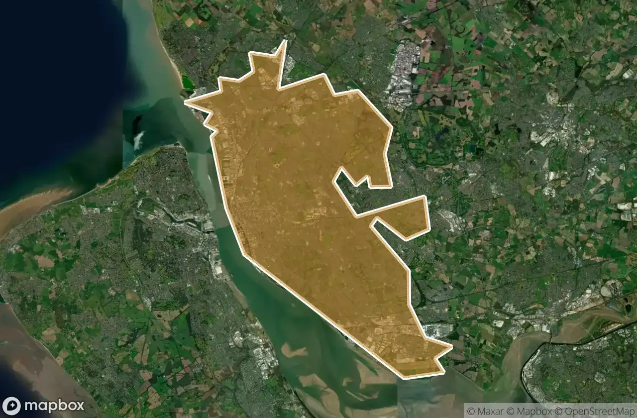
34 の検証済みGPS座標、 Liverpool, England, イギリス.
Looking for abandoned places in Liverpool, England, イギリス? Urbex Maps offers 34 verified GPS coordinates of abandoned buildings in this area, including バンカー, 農場, 軍事, 廃墟.
34
verified spots
GPS
Google Maps, Waze
2026年6月
last update
Where to find abandoned places in Liverpool?
The best way to find abandoned places in Liverpool is through the interactive urbex map on Urbex Maps with 34 verified GPS coordinates. Top categories are バンカー, 農場, 軍事, 廃墟.
Types of abandoned places in Liverpool
- バンカー
- 農場
- 軍事
- 廃墟
スポット: Liverpool

Bankhall Street, Liverpool

Belvedere Preparatory School, Liverpool

Cabbage Hall, Liverpool

Carnatic halls

Commercial Road, Liverpool

Deysbrook, Liverpool

Ducie Street, Liverpool

Eldon grove

Elliot Street, Liverpool

Former Otterspool Café, Liverpool

Freeman Mansion

Greenbank Drive Synagogue

Holly Lodge Girls' College, Liverpool

Knowsley

L18 49, Liverpool

Mansion Welcome Paradise

Melling

New Road, Liverpool

Otterspool Road, Liverpool

Parkstile Lane, Liverpool

Royal Liverpool Seaman's Orphanage

Sandown Park, Liverpool

Stand Farm Lodge

Stanley, Liverpool

The Cottage, Liverpool

The Geometry of Silence

The Plotted Silence

Titanic Hotel, Liverpool

Traces in the Geometry

Traces of Mapped Silence

Traces of a Forgotten Vector

Upper Selborne Street, Liverpool

Water pump

Wavertree Green, Liverpool