Greater London
Urbex マップ Former clubhouse
Greater LondonEnglandイギリス
永久更新
Former clubhouse - Coordonnées GPS Urbex
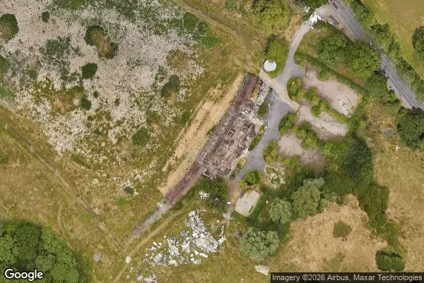
Obtenez la coordonnée GPS exacte de ce lieu abandonné situé dans le département Greater London (England, イギリス). Spot urbex vérifié et géolocalisé.
Brockley Hill, Stanmore, is an area of high ground on the outskirts of North London, England. The hill, which rises to 136 metres (446 ft) above sea level, is traversed by the A5 road. It follows the course of the Roman road known as Watling Street.
0,90EUR
Paiement unique - accès à vie
100% 安全な決済
AMEX
Google Pay
stripe
SSL暗号化通信 · 銀行情報は保存されません
Ce qui est inclus
- Coordonnée GPS exacte
- Photo satellite du spot
- Accès immédiat après achat