Urbex マップ Dorset
34 の廃墟: Dorset
34
スポット
一回払い - 永久アクセス
100% 安全な決済
SSL暗号化通信 · 銀行情報は保存されません
永久更新
このパックに含まれるテーマ
- 廃屋
- バンカー
- 廃工場
- 製粉所
- 刑務所
- 砲台
- 廃墟
- 城
すべての廃墟: Dorset
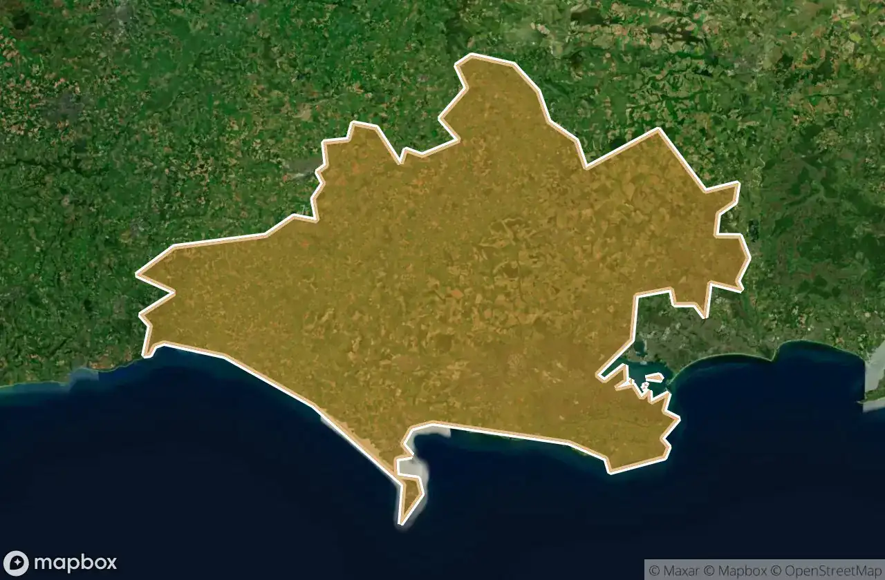
34 の検証済みGPS座標、 Dorset, England, イギリス.
Looking for abandoned places in Dorset, England, イギリス? Urbex Maps offers 34 verified GPS coordinates of abandoned buildings in this area, including 廃屋, バンカー, 廃工場, 製粉所, 刑務所, 砲台.
34
verified spots
GPS
Google Maps, Waze
2026年6月
last update
Where to find abandoned places in Dorset?
The best way to find abandoned places in Dorset is through the interactive urbex map on Urbex Maps with 34 verified GPS coordinates. Top categories are 廃屋, バンカー, 廃工場, 製粉所, 刑務所, 砲台.
Types of abandoned places in Dorset
- 廃屋
- バンカー
- 廃工場
- 製粉所
- 刑務所
- 砲台
- 廃墟
- 城
スポット: Dorset

AKH heating

Arne Hill Heavy Anti-Aircraft Battery

B3147, Dorchester

Beaminster

Belle View Bunker

Castletown

Cattistock

Chideock Castle (Site of) & Martyrs Cross

Clapgate, Stanbridge

Crewkerne
![Dead Spot - River Prison [GBR]](/api/images/6e479d1ca8b19083)
Dead Spot - River Prison [GBR]

Decoy House

Incline Road, Castletown

Incline Road, Castletown

Overcombe

Shaftesbury

Shaftesbury Road, Gillingham

Sixpenny Handley

South Bark Lime Kiln

Stanbridge

Sturminster Newton

Sturminster Newton

Swanage

Swanage

Swanage

The Geometry of Silence

The Mapped Absence

The Old Mill

The Verne Citadel, Fortuneswell

Vertices of the Forgotten

West Bottom, Chaldon Herring

Wool

Wool

tumulus, Milborne St Andrew