Urbex マップ Blackburn With Darwen
17 の廃墟: Blackburn With Darwen
17
スポット
一回払い - 永久アクセス
100% 安全な決済
SSL暗号化通信 · 銀行情報は保存されません
永久更新
このパックに含まれるテーマ
- 農場
- 教会
すべての廃墟: Blackburn With Darwen
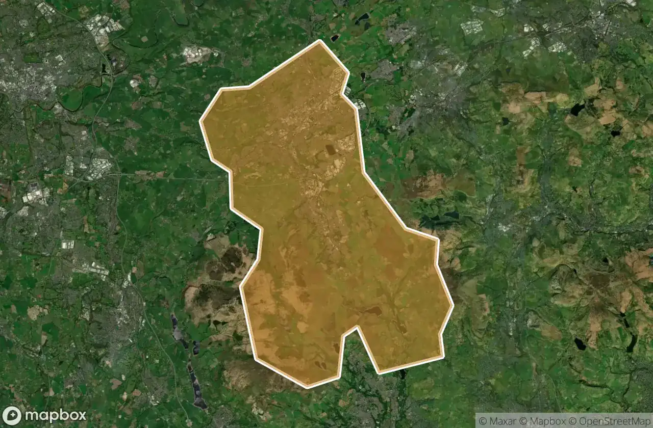
17 の検証済みGPS座標、 Blackburn With Darwen, England, イギリス.
Looking for abandoned places in Blackburn With Darwen, England, イギリス? Urbex Maps offers 17 verified GPS coordinates of abandoned buildings in this area, including 農場, 教会.
17
verified spots
GPS
Google Maps, Waze
2026年6月
last update
Where to find abandoned places in Blackburn With Darwen?
The best way to find abandoned places in Blackburn With Darwen is through the interactive urbex map on Urbex Maps with 17 verified GPS coordinates. Top categories are 農場, 教会.
Types of abandoned places in Blackburn With Darwen
- 農場
- 教会
スポット: Blackburn With Darwen

Bank Fold Lane, Belthorn

Coopers

Darwen

Fox Hill Farm

Griffin Lodge

Moor Side

North Turton, Blackburn with Darwen

Pickup Bank, Hoddlesden

Rivington Road, Belmont

Tockholes Road, Tockholes

Tottington

Tottington

Trace of the Imported Void

Traces From The Grid

Turton Moor, North Turton

Turton Moor, North Turton

Whittle's Farm