Urbex マップ Werdenberg
15 の廃墟: Werdenberg
15
スポット
一回払い - 永久アクセス
100% 安全な決済
SSL暗号化通信 · 銀行情報は保存されません
永久更新
すべての廃墟: Werdenberg
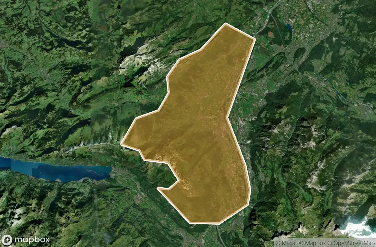
15 の検証済みGPS座標、 Werdenberg, Sankt Gallen, スイス.
Looking for abandoned places in Werdenberg, Sankt Gallen, スイス? Urbex Maps offers 15 verified GPS coordinates of abandoned buildings in this area, including .
15
verified spots
GPS
Google Maps, Waze
2026年6月
last update
Where to find abandoned places in Werdenberg?
The best way to find abandoned places in Werdenberg is through the interactive urbex map on Urbex Maps with 15 verified GPS coordinates. Top categories are .
スポット: Werdenberg

Alpenstrasse, Azmoos

Alti Hütte, Walenstadt

Bejadimweg, Malans SG

Brochne Burg, Gretschins

Gamserstrasse, Gams

Grossbünt, Oberschan

Moos, Buchs (SG)

Murris, Weite-Wartau

Nausweg, Grabs

Pizol oberhalb Alti Hüt, Walenstadt

Rheintaler Höhenweg, Rofisbach

The Latent Coordinate

Traces of a Mapped Ghost

Vaduz

Vectors of Forgotten Space