Urbex マップ Groningen
57 の廃墟 • 9 県
57
スポット
一回払い - 永久アクセス
100% 安全な決済
SSL暗号化通信 · 銀行情報は保存されません
永久更新
このパックに含まれるテーマ
- 廃工場
- 農場
- バンカー
- 病院
- 軍事
- 廃墟
すべての廃墟: Groningen
57 の検証済みGPS座標、 9 県。城、産業廃墟、病院、バンカー、鉱山。
Looking for abandoned places in Groningen, オランダ? Urbex Maps offers an interactive urbex map with 57 verified GPS coordinates of abandoned buildings, including 廃工場, 農場, バンカー, 病院, 軍事, 廃墟. The map covers 9 areas including Eemsdelta, Groningen, Oldambt, Westerwolde, Het Hogeland.
57
verified spots
9
areas covered
GPS
Google Maps, Waze
2026年6月
last update
Where to find abandoned places in Groningen?
The best way to find abandoned places in Groningen is through the interactive urbex map on Urbex Maps with GPS coordinates. The region has 57 verified locations across 9 areas, including Eemsdelta, Groningen, Oldambt, Westerwolde, Het Hogeland. Top categories are 廃工場, 農場, バンカー, 病院, 軍事, 廃墟.
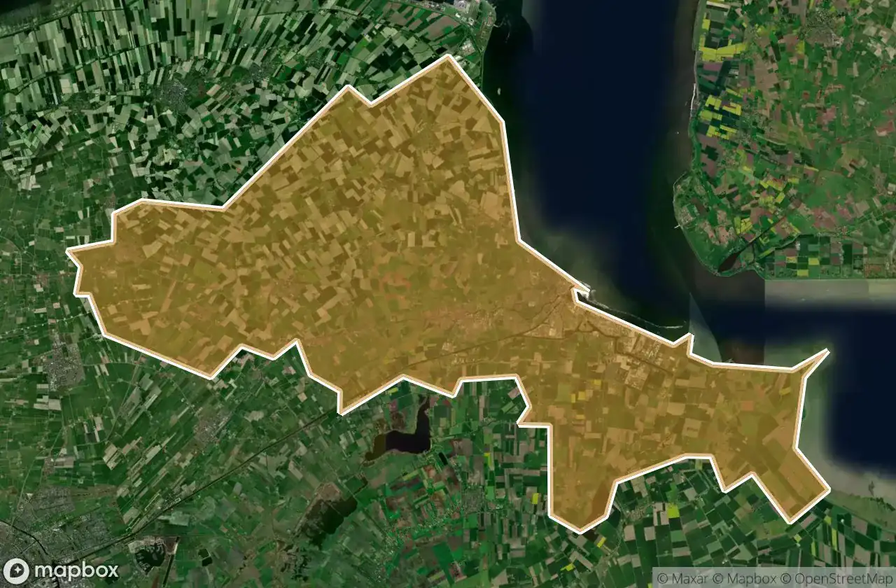
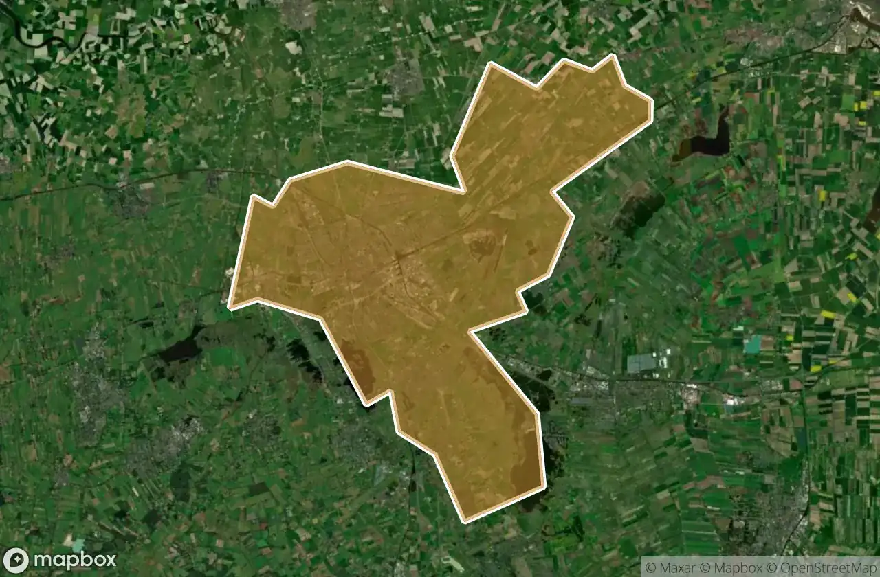
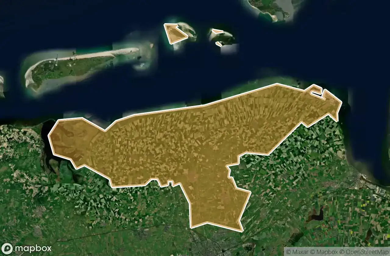
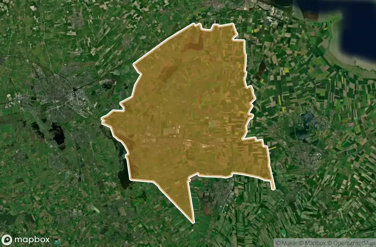
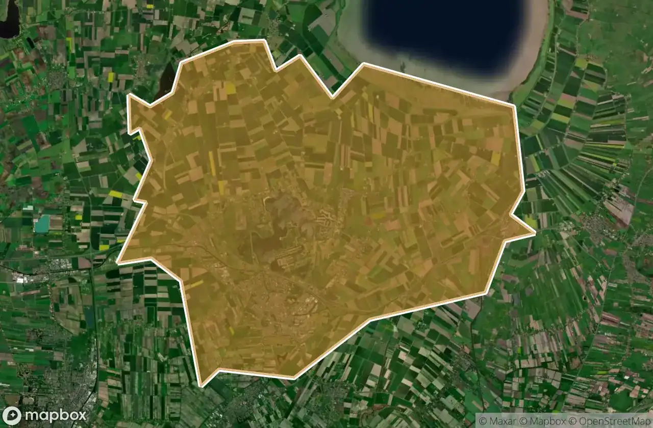
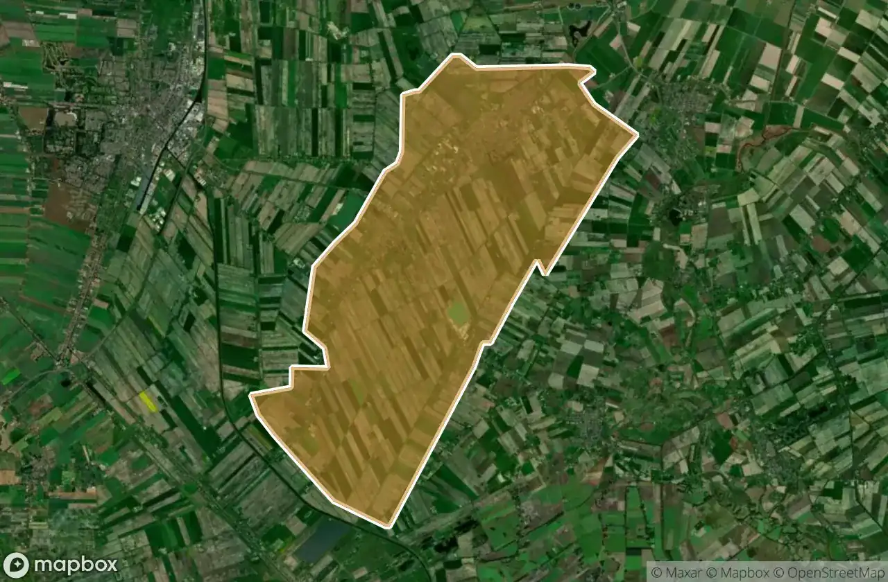
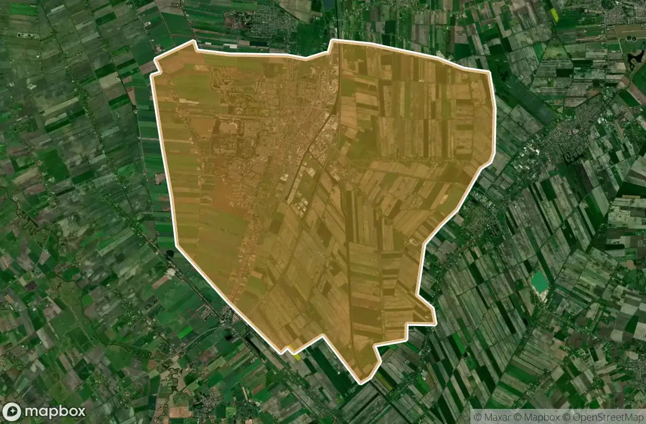
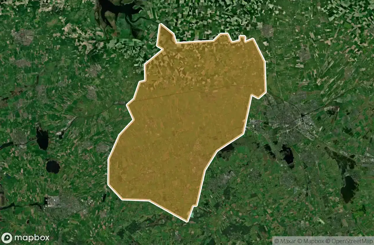
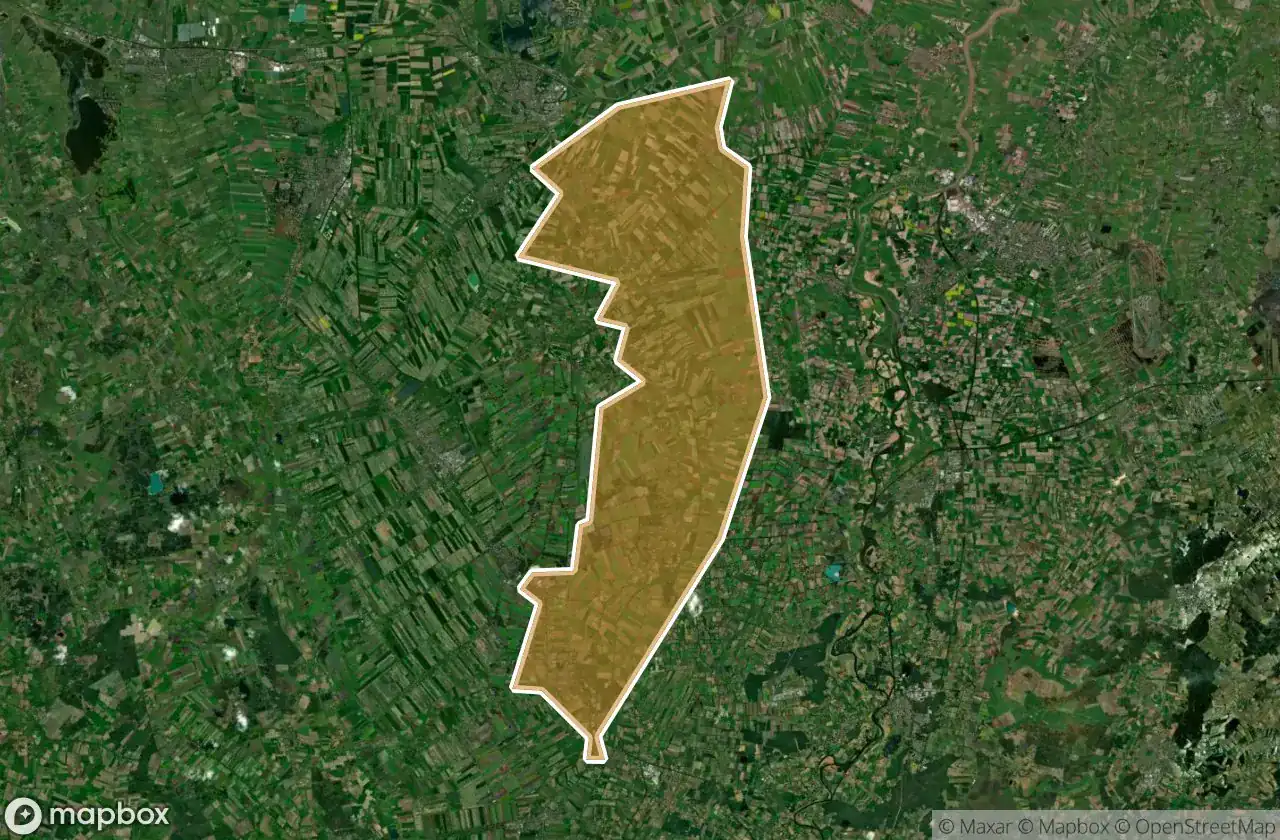
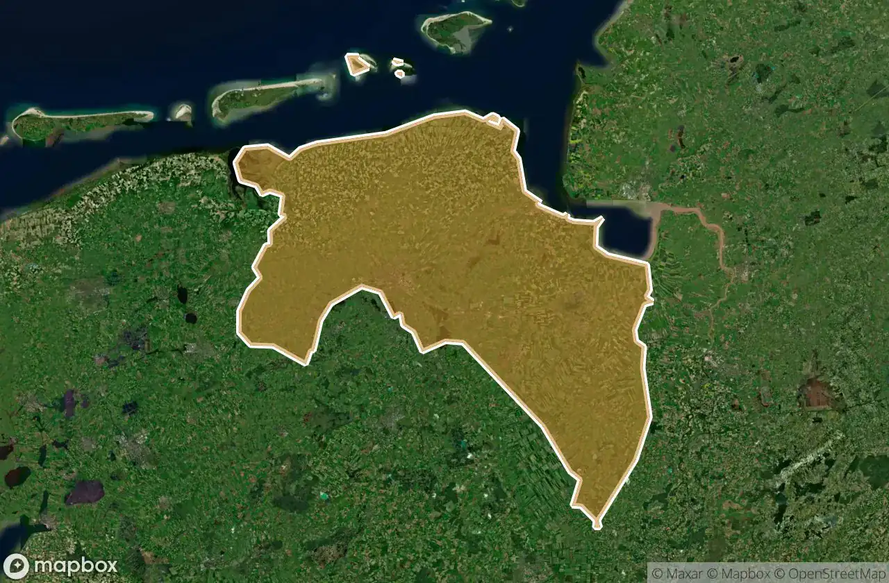
Abandoned places by area in Groningen
| Area | Spots | Map |
|---|---|---|
| Eemsdelta | 16 | View map → |
| Groningen | 11 | View map → |
| Oldambt | 7 | View map → |
| Westerwolde | 7 | View map → |
| Het Hogeland | 6 | View map → |
| Westerkwartier | 4 | View map → |
| Pekela | 3 | View map → |
| Midden Groningen | 2 | View map → |
| Veendam | 1 | View map → |
Types of abandoned places in Groningen
- 廃工場
- 農場
- バンカー
- 病院
- 軍事
- 廃墟
県別
県をクリックしてUrbexスポットを表示。