Urbex マップ Arklow
16 の廃墟: Arklow
16
スポット
一回払い - 永久アクセス
100% 安全な決済
SSL暗号化通信 · 銀行情報は保存されません
永久更新
このパックに含まれるテーマ
- 兵舎
- バンカー
- 教会
- 廃工場
すべての廃墟: Arklow
16 の検証済みGPS座標、 Arklow, Wicklow, アイルランド.
Looking for abandoned places in Arklow, Wicklow, アイルランド? Urbex Maps offers 16 verified GPS coordinates of abandoned buildings in this area, including 兵舎, バンカー, 教会, 廃工場.
16
verified spots
GPS
Google Maps, Waze
2026年6月
last update
Where to find abandoned places in Arklow?
The best way to find abandoned places in Arklow is through the interactive urbex map on Urbex Maps with 16 verified GPS coordinates. Top categories are 兵舎, バンカー, 教会, 廃工場.
Types of abandoned places in Arklow
- 兵舎
- バンカー
- 教会
- 廃工場
スポット: Arklow

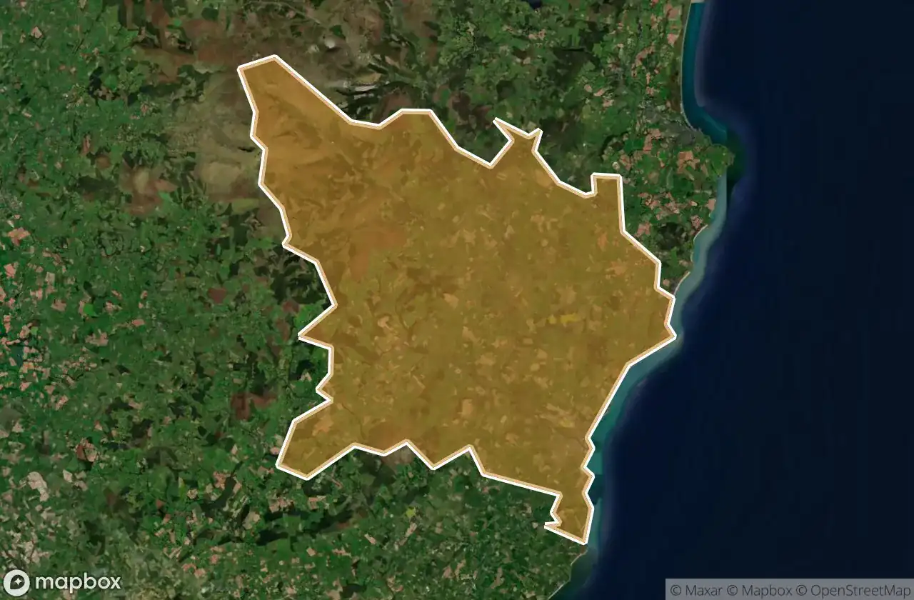
Arklow Rural ED, The Municipal District of Arklow

Avoca Wood

Coast Road

Coomie

Drumgoff Barracks

Factory Seaside

Glenart castle, Arklow

Kilpipe Church

L5163

Old Castlemacadam Graveyard

Poundbrook Lane, Rathdrum

R772

R773

The Geometry of Absence

The Imported Vector Ghost

Traces of the Silent Grid