Urbex マップ Boyle
17 の廃墟: Boyle
17
スポット
一回払い - 永久アクセス
100% 安全な決済
SSL暗号化通信 · 銀行情報は保存されません
永久更新
このパックに含まれるテーマ
- 教会
すべての廃墟: Boyle
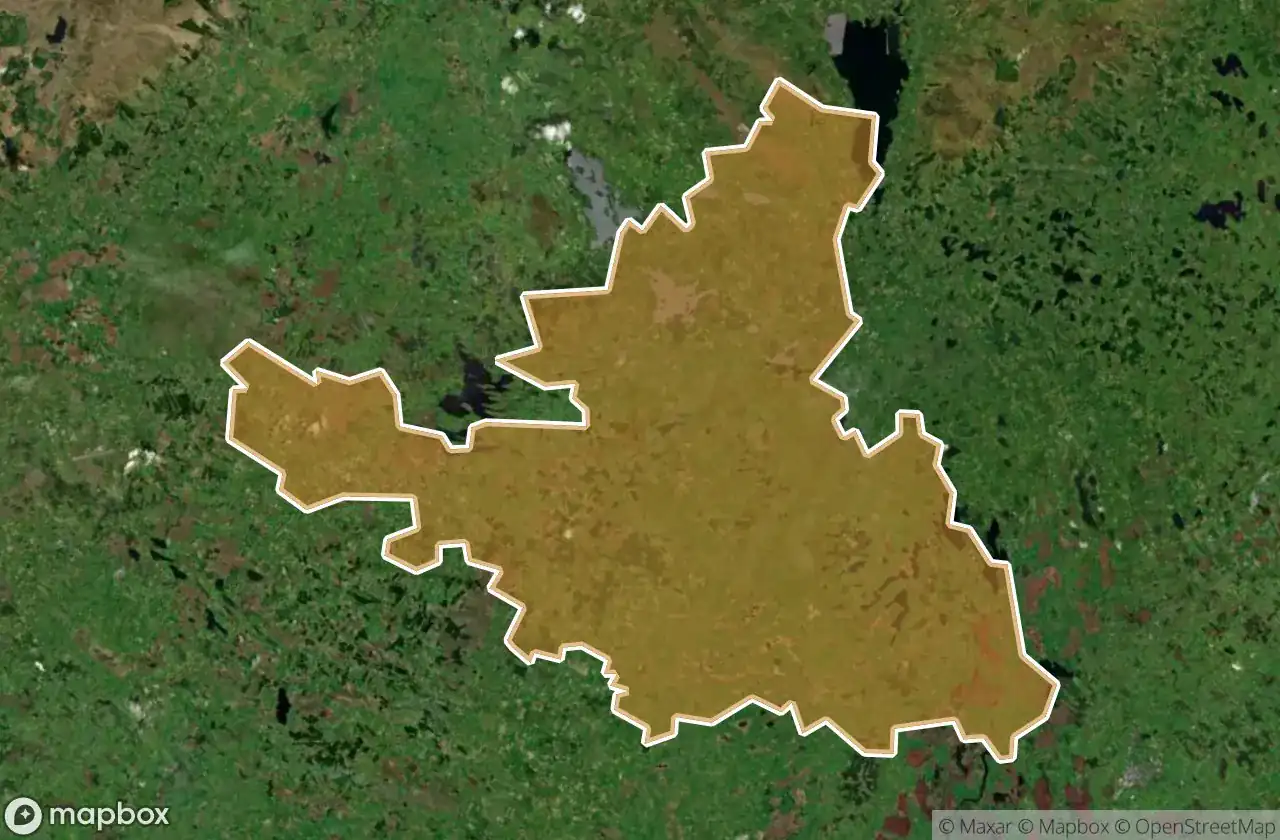
17 の検証済みGPS座標、 Boyle, Roscommon, アイルランド.
Looking for abandoned places in Boyle, Roscommon, アイルランド? Urbex Maps offers 17 verified GPS coordinates of abandoned buildings in this area, including 教会.
17
verified spots
GPS
Google Maps, Waze
2026年6月
last update
Where to find abandoned places in Boyle?
The best way to find abandoned places in Boyle is through the interactive urbex map on Urbex Maps with 17 verified GPS coordinates. Top categories are 教会.
Types of abandoned places in Boyle
- 教会
スポット: Boyle

Ballaghaderreen

Bumlin ED, Boyle Municipal District

Cloonteem ED, Boyle Municipal District

Isolated beauty

Kilglass North ED, Boyle Municipal District

L7464

Ogulla ED, Boyle Municipal District

R371

Roosky ED, Boyle Municipal District

Roosky ED, Boyle Municipal District

Roosky ED, Boyle Municipal District

St. Barrys Church

Termonbarry

Termonbarry ED, Boyle Municipal District

Termonbarry ED, Boyle Municipal District

Termonbarry ED, Boyle Municipal District

Termonbarry ED, Boyle Municipal District