Urbex マップ Ratoath
47 の廃墟: Ratoath
47
スポット
一回払い - 永久アクセス
100% 安全な決済
SSL暗号化通信 · 銀行情報は保存されません
永久更新
このパックに含まれるテーマ
- 教会
- 城
- 廃屋
すべての廃墟: Ratoath
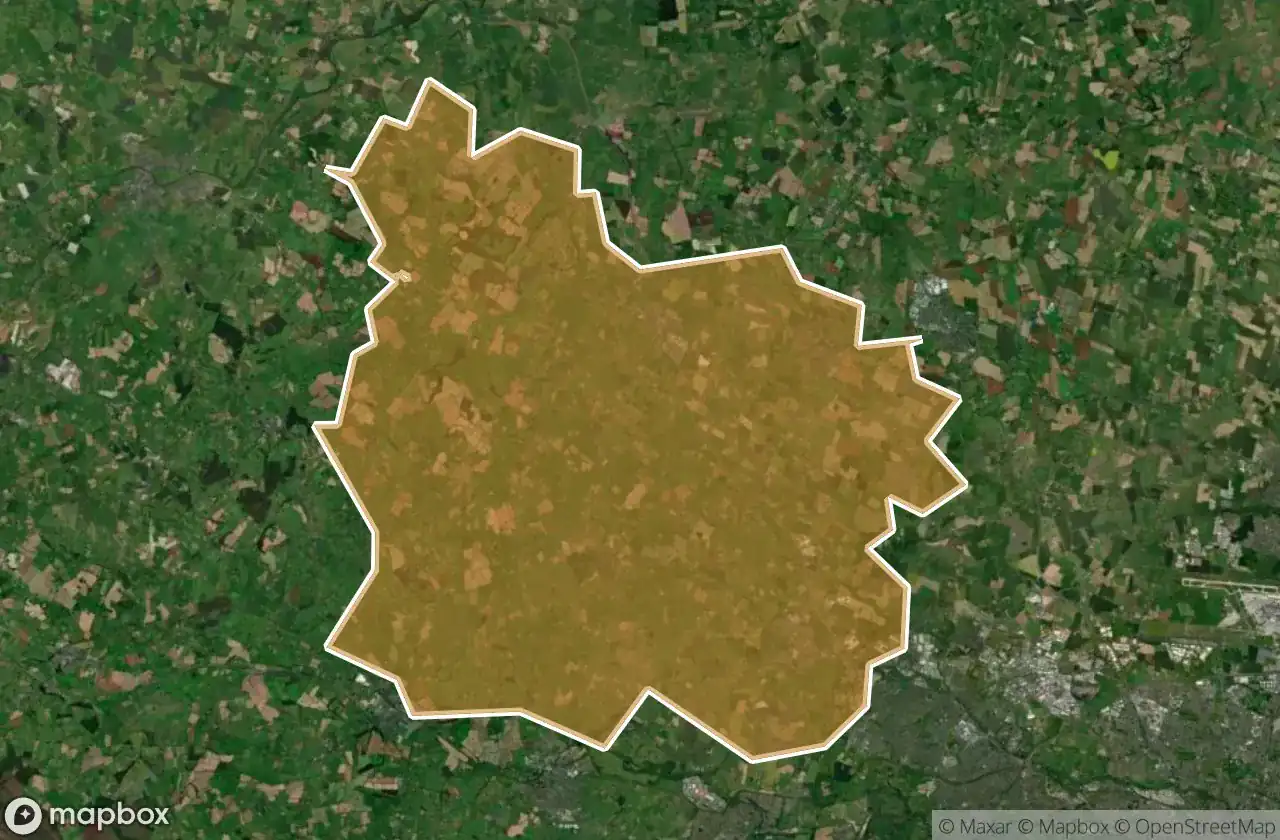
47 の検証済みGPS座標、 Ratoath, Meath, アイルランド.
Vous cherchez des lieux abandonnes a Ratoath, Meath, アイルランド ? Urbex Maps propose 47 coordonnees GPS verifiees de batiments abandonnes dans cette zone, dont 教会, 城, 廃屋.
47
spots verifies
GPS
Google Maps, Waze
2026年6月
derniere mise a jour
Ou trouver des lieux abandonnes a Ratoath ?
Les lieux abandonnes a Ratoath se trouvent le mieux via la carte urbex interactive de Urbex Maps avec 47 coordonnees GPS verifiees. Les categories principales sont 教会, 城, 廃屋.
Types de lieux abandonnes a Ratoath
- 教会
- 城
- 廃屋
スポット: Ratoath

Alicebrook

Balfeaghan Church

Balfeaghan House

Church of St. Nicholas

Culmullin

Culmullin

Dunboyne

Dunboyne ED, The Municipal District of Ratoath

Dunboyne ED, The Municipal District of Ratoath

Dunshaughlin Union Workhouse, site of

Hanwood Gardens

Hartstown

Kilclone

Kilcloon

Killeen Church

Killien Road

Killien Road

Kilmore Church

Kilmore ED, The Municipal District of Ratoath

Knockmark Church

Knocknatulla

L22051

L2207

L2207

L22071

L2214

L50211

L62031

L6216

L6222

L6222

L6222

Mount View

Moyglare Castle

Mulhussey Castle

Mulhussey Church

R125

R147

Rathregan Church

Rathregan House

Rodanstown ED, The Municipal District of Ratoath

Rodanstown ED, The Municipal District of Ratoath

Rodanstown ED, The Municipal District of Ratoath

Rush House

Salestown Castle (in ruins)

St. Seachnall's Church

Windmill (in ruins)