Urbex マップ Dundalk
43 の廃墟: Dundalk
43
スポット
一回払い - 永久アクセス
100% 安全な決済
SSL暗号化通信 · 銀行情報は保存されません
永久更新
このパックに含まれるテーマ
- 城
- 教会
- 廃屋
すべての廃墟: Dundalk
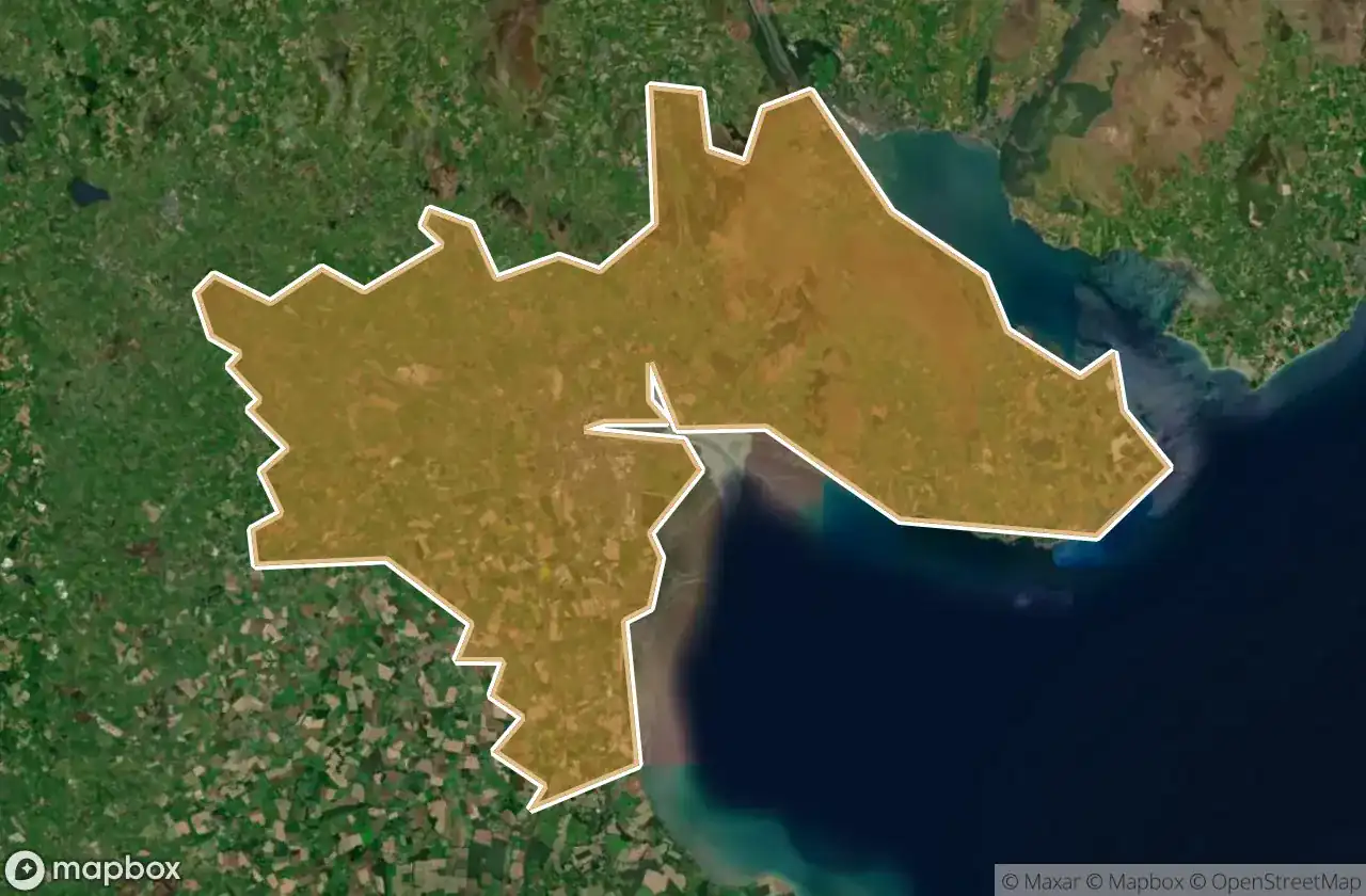
43 の検証済みGPS座標、 Dundalk, Louth, アイルランド.
Vous cherchez des lieux abandonnes a Dundalk, Louth, アイルランド ? Urbex Maps propose 43 coordonnees GPS verifiees de batiments abandonnes dans cette zone, dont 城, 教会, 廃屋.
43
spots verifies
GPS
Google Maps, Waze
2026年6月
derniere mise a jour
Ou trouver des lieux abandonnes a Dundalk ?
Les lieux abandonnes a Dundalk se trouvent le mieux via la carte urbex interactive de Urbex Maps avec 43 coordonnees GPS verifiees. Les categories principales sont 城, 教会, 廃屋.
Types de lieux abandonnes a Dundalk
- 城
- 教会
- 廃屋
スポット: Dundalk

Ballug Castle

Belfield, Dundalk

Bring Centre, Dundalk

Church (ruins)

Commons Road, Dromiskin

Commons Road, Dromiskin

Dundalk

Dunmahon Castle

Greenore Road

Haggardstown ED, The Municipal District of Dundalk

Hoey's Lane

Jackie's Car Park, Dundalk

Jenkinstown ED, The Municipal District of Dundalk

Kilwirra Church

L31364

L3167

L3167

L3168

L3168

L51371

L51373--

L7066

L7067

L7073

L7074

L7074

L7074

L7074

L7076

L7078

L7135

L7162

Priorland Gardens, Dundalk

R173

R173

R178

Stephenstown House

Stephenstown House

The Imported Void

The Plotted Ghost Grid

Tullagee Bridge

White House

Willville