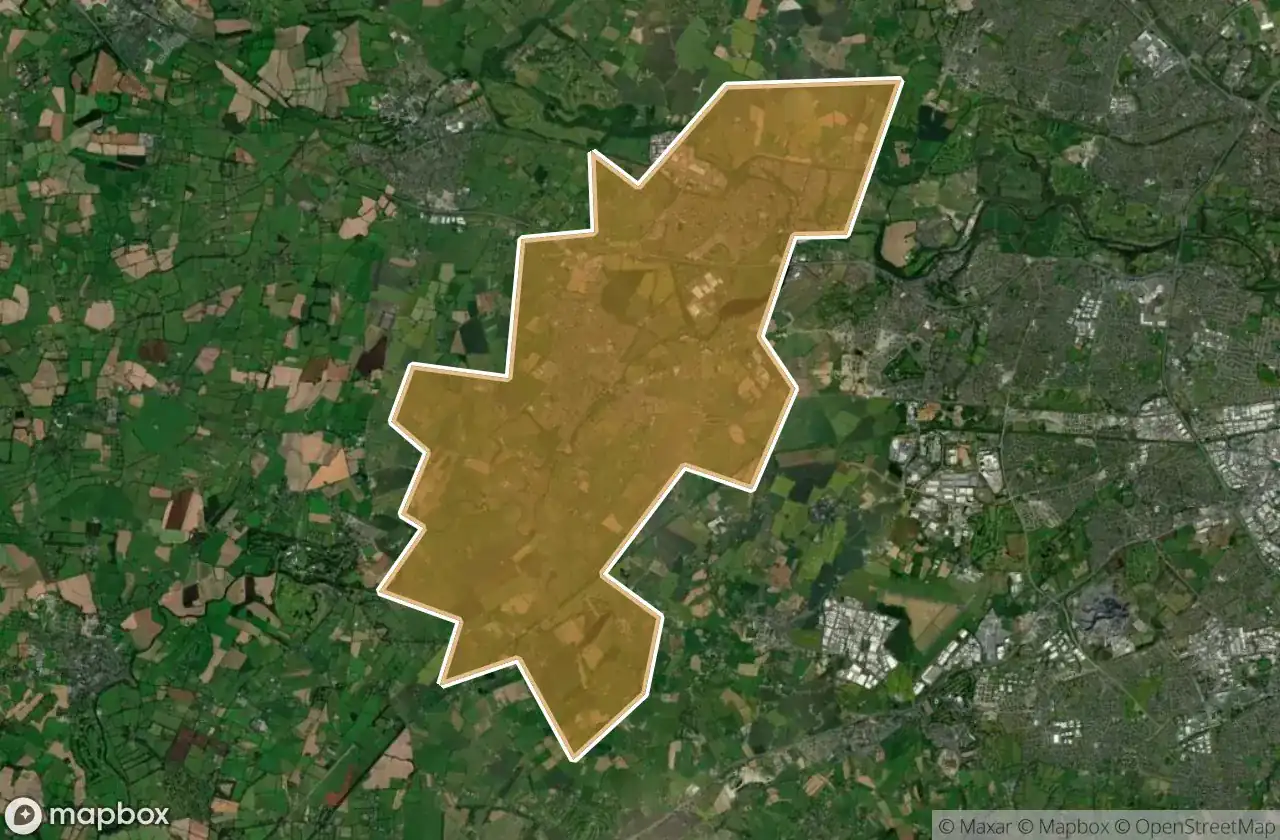
Urbex マップ Celbridge Leixlip
32 の廃墟: Celbridge Leixlip
32
スポット
一回払い - 永久アクセス
100% 安全な決済
SSL暗号化通信 · 銀行情報は保存されません
永久更新
このパックに含まれるテーマ
- 廃屋
- 城
- 教会
- 廃墟
すべての廃墟: Celbridge Leixlip
32 の検証済みGPS座標、 Celbridge Leixlip, Kildare, アイルランド.
Looking for abandoned places in Celbridge Leixlip, Kildare, アイルランド? Urbex Maps offers 32 verified GPS coordinates of abandoned buildings in this area, including 廃屋, 城, 教会, 廃墟.
32
verified spots
GPS
Google Maps, Waze
2026年6月
last update
Where to find abandoned places in Celbridge Leixlip?
The best way to find abandoned places in Celbridge Leixlip is through the interactive urbex map on Urbex Maps with 32 verified GPS coordinates. Top categories are 廃屋, 城, 教会, 廃墟.
Types of abandoned places in Celbridge Leixlip
- 廃屋
- 城
- 教会
- 廃墟
スポット: Celbridge Leixlip

13th Lock

13th Lock

13th Lock

13th Lock

Bath House

Church Road

Confey Church

Cullaghreeva Lane, Leixlip ED

Dara Crescent

Dublin Road

Ghost of Imported Geometry

Hazelhatch Bridge, South Dublin

Hazelhatch Bridge, South Dublin

Ice House

L5066

L5066

L6018

Loughlinstown Road

Lyons Road, South Dublin

M4

Maynooth Road, Leixlip ED

Passifyoucan Lane, Fingal

Reeves Castle

Rock Bridge

Shadows in the Coordinates

Shadows of the Vertex

The Geometry of Silence

The Imported Silence

The Lords Road

The Wonderful Barn, Leixlip ED

Tipperstown House

Traces of Mapped Silence