Urbex マップ South Dublin
37 の廃墟: South Dublin
37
スポット
一回払い - 永久アクセス
100% 安全な決済
SSL暗号化通信 · 銀行情報は保存されません
永久更新
このパックに含まれるテーマ
- 城
- 廃屋
すべての廃墟: South Dublin
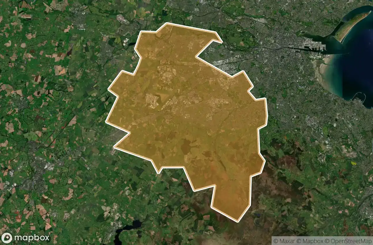
37 の検証済みGPS座標、 South Dublin, Dublin, アイルランド.
Looking for abandoned places in South Dublin, Dublin, アイルランド? Urbex Maps offers 37 verified GPS coordinates of abandoned buildings in this area, including 城, 廃屋.
37
verified spots
GPS
Google Maps, Waze
2026年6月
last update
Where to find abandoned places in South Dublin?
The best way to find abandoned places in South Dublin is through the interactive urbex map on Urbex Maps with 37 verified GPS coordinates. Top categories are 城, 廃屋.
Types of abandoned places in South Dublin
- 城
- 廃屋
スポット: South Dublin

Airlie House, Lucan

Aylmer Road, Newcastle

Ballyboden

Ballynakelly Cottages, Newcastle

Boherboy Road, Saggart

Castlegrange Drive, Clondalkin

Castlegrange Drive, Clondalkin

Castlewarden Road, South Dublin

Delville, Lucan

Farmleigh Bridge, Castleknock

Grand Canal Greenway, South Dublin

Grange Castle Business Park, South Dublin

Hazelhatch Road, Newcastle

Killininny Tower, Tallaght

L3005, Fingal

Lee's Lane, South Dublin

Lower Lucan Road, Fingal

Lucan Road, Lucan

Main Street, Newcastle

Midleton - Curraleigh West - Brownsbarn

Peamount Lane, South Dublin

Saggart

Saggart

Saint Finian's Way, Newcastle

Shadows In The Vector

Smiths Hill, Newcastle

South Dublin

Static Geometry of Silence

Tallaght

Terenure

The Crescent, Tallaght

The Geometry of Silence

The Scripted Ghost Node

Traces of Mapped Silence

Traces of a Mapped Silence

Traces of the Transfer

Tully's Castle