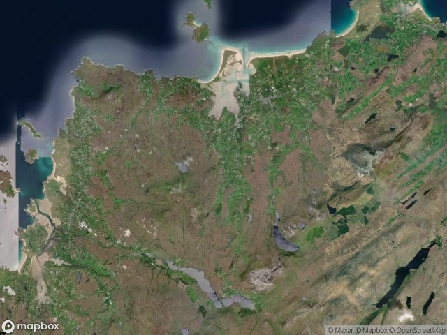
Urbex マップ Glenties
14 の廃墟: Glenties
14
スポット
一回払い - 永久アクセス
100% 安全な決済
SSL暗号化通信 · 銀行情報は保存されません
永久更新
このパックに含まれるテーマ
- 教会
- 駅
- 難破船
すべての廃墟: Glenties
14 の検証済みGPS座標、 Glenties, Donegal, アイルランド.
Looking for abandoned places in Glenties, Donegal, アイルランド? Urbex Maps offers 14 verified GPS coordinates of abandoned buildings in this area, including 教会, 駅, 難破船.
14
verified spots
GPS
Google Maps, Waze
2026年6月
last update
Where to find abandoned places in Glenties?
The best way to find abandoned places in Glenties is through the interactive urbex map on Urbex Maps with 14 verified GPS coordinates. Top categories are 教会, 駅, 難破船.
Types of abandoned places in Glenties
- 教会
- 駅
- 難破船
スポット: Glenties

Apache Pizza, Dunfanaghy

Dawros ED, Glenties Municipal District

Falcarragh Train Station

Far East Church

Gortahork Parish Hall

L1039

L1039, An Fál Carrach

N56

N56

Shipwreck

Strand Road, An Fál Carrach

The Silent Vector Grid

Traces of a Ghost Map

Vertices of Mapped Silence