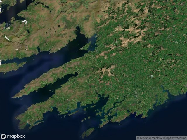
Urbex マップ West Cork
23 の廃墟: West Cork
23
スポット
一回払い - 永久アクセス
100% 安全な決済
SSL暗号化通信 · 銀行情報は保存されません
永久更新
このパックに含まれるテーマ
- 廃墟
- 教会
- 農場
すべての廃墟: West Cork
23 の検証済みGPS座標、 West Cork, Cork, アイルランド.
Looking for abandoned places in West Cork, Cork, アイルランド? Urbex Maps offers 23 verified GPS coordinates of abandoned buildings in this area, including 廃墟, 教会, 農場.
23
verified spots
GPS
Google Maps, Waze
2026年6月
last update
Where to find abandoned places in West Cork?
The best way to find abandoned places in West Cork is through the interactive urbex map on Urbex Maps with 23 verified GPS coordinates. Top categories are 廃墟, 教会, 農場.
Types of abandoned places in West Cork
- 廃墟
- 教会
- 農場
スポット: West Cork

Bally Church

Bantry Urban, West Cork

Bantry Urban, West Cork

Clonakilty Relief Road

Convent Way

Copper Mines

Cul Na Greine

Drombeg Stone Circle

Famine Farm

Farranacoush

Gortnaclohy

Killaconenagh, West Cork

Kilnagross Church

Marino Heights

N71

N71

Old Barrack Road

R598

Reen Tower

Signal Tower

The Geometry of Silence

The Geometry of Silence

Warner Centre