Urbex マップ Ballyjamesduff
280 の廃墟: Ballyjamesduff
280
スポット
一回払い - 永久アクセス
100% 安全な決済
SSL暗号化通信 · 銀行情報は保存されません
永久更新
このパックに含まれるテーマ
- 廃屋
- 学校
- 廃工場
- 製粉所
- 修道院
- 城
- 教会
- 廃ヴィラ
すべての廃墟: Ballyjamesduff
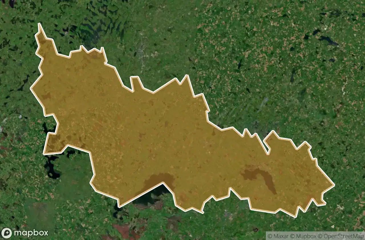
280 の検証済みGPS座標、 Ballyjamesduff, Cavan, アイルランド.
Looking for abandoned places in Ballyjamesduff, Cavan, アイルランド? Urbex Maps offers 280 verified GPS coordinates of abandoned buildings in this area, including 廃屋, 学校, 廃工場, 製粉所, 修道院, 城.
280
verified spots
GPS
Google Maps, Waze
2026年6月
last update
Where to find abandoned places in Ballyjamesduff?
The best way to find abandoned places in Ballyjamesduff is through the interactive urbex map on Urbex Maps with 280 verified GPS coordinates. Top categories are 廃屋, 学校, 廃工場, 製粉所, 修道院, 城.
Types of abandoned places in Ballyjamesduff
- 廃屋
- 学校
- 廃工場
- 製粉所
- 修道院
- 城
- 教会
- 廃ヴィラ
スポット: Ballyjamesduff

Aghadreenagh Road

Aghafad Road

Aghnacliff Road

Aghnacliff Road

Aghnacliff Road

Ardleny Road

Ardleny Road

Ardlougher Road

Ardvarny Lane

Arnaghan Lane

Arvagh Road

Arvagh Road

Arvagh Road, Ballinagh

Athlone Road, Ballinagh

Ballaghanea Mill

Ballinagh Road

Ballinagh Road

Ballinagh Road

Ballintemple Lane

Ballintemple Lane

Ballintemple Lane

Ballyjamesduff Road

Ballyjamesduff Road

Ballyjamesduff Road

Banaher Road

Barconny (Nugent) Road

Barconny (Nugent) Road

Barconny (Nugent) Road

Barconny (Robinson) Road

Bobsgrove Road

Boylan's

Burn's Lane

Byer's Lane

Byer's Lane

Bóthar Buidhe

Bóthar Buidhe

Bóthar Buidhe

Bóthar Buidhe

Bóthar Buidhe

Bóthar Buidhe

Carnin Road

Carnin Road

Carolan's Lane

Carrickavee Road

Carrickavee Road

Carrigasimon Road

Castle Boat House

Castlepoles Lane

Castlerahan ED, Ballyjamesduff Municipal District

Castlerahan ED, Ballyjamesduff Municipal District

Castlerahan Lane

Cavan Road

Cavan Road

Clare Road

Clare Road

Clare Road

Clareboy Lane

Clarke's Lane

Cloncovet School

Clonkeiffy Road
+ 他 220 スポット