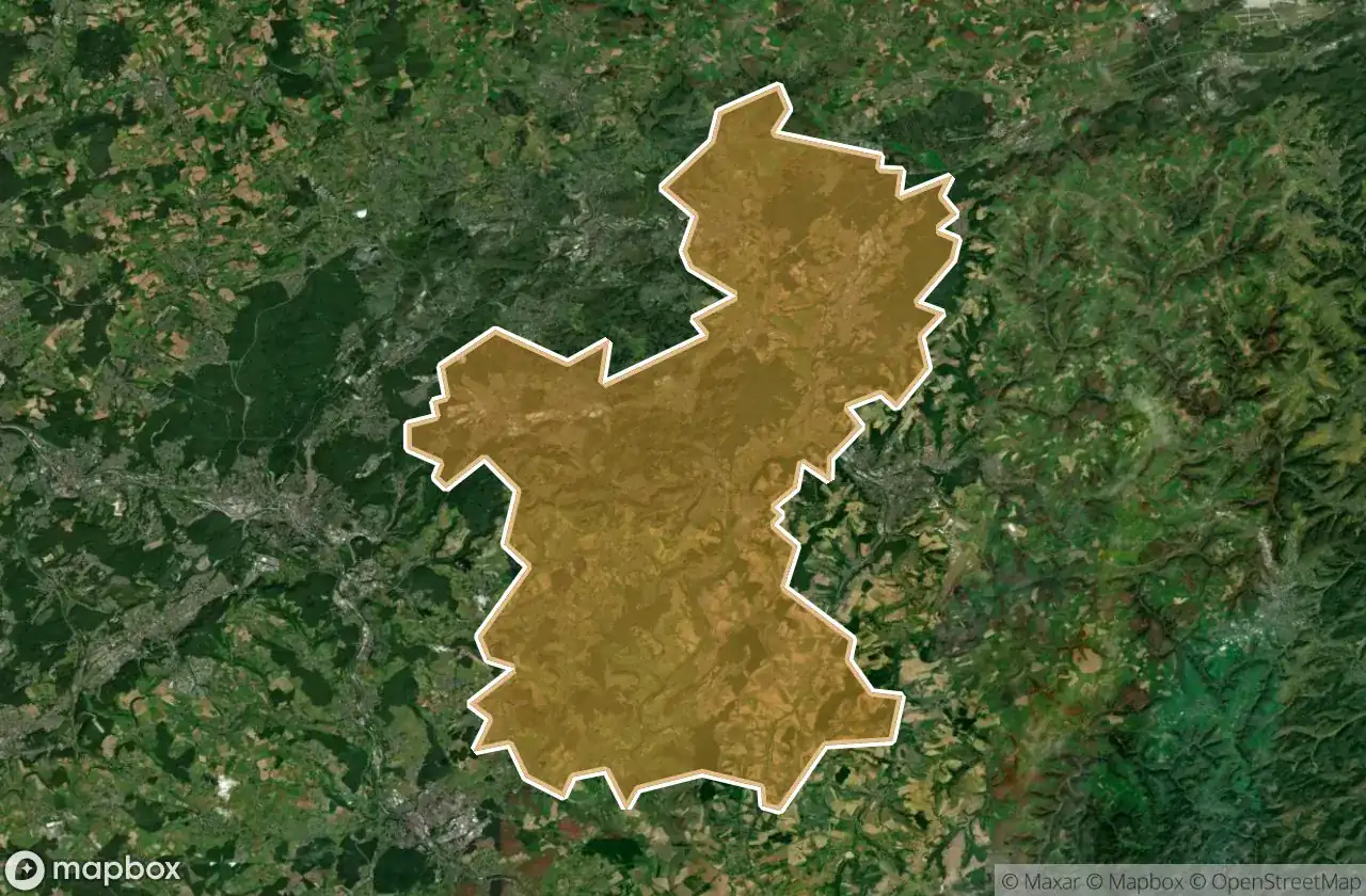
Urbex マップ Saarpfalz Kreis
34 の廃墟: Saarpfalz Kreis
34
スポット
一回払い - 永久アクセス
100% 安全な決済
SSL暗号化通信 · 銀行情報は保存されません
永久更新
このパックに含まれるテーマ
- バンカー
- 廃墟
- 軍事
すべての廃墟: Saarpfalz Kreis
34 の検証済みGPS座標、 Saarpfalz Kreis, Saarland, ドイツ.
Looking for abandoned places in Saarpfalz Kreis, Saarland, ドイツ? Urbex Maps offers 34 verified GPS coordinates of abandoned buildings in this area, including バンカー, 廃墟, 軍事.
34
verified spots
GPS
Google Maps, Waze
2026年6月
last update
Where to find abandoned places in Saarpfalz Kreis?
The best way to find abandoned places in Saarpfalz Kreis is through the interactive urbex map on Urbex Maps with 34 verified GPS coordinates. Top categories are バンカー, 廃墟, 軍事.
Types of abandoned places in Saarpfalz Kreis
- バンカー
- 廃墟
- 軍事
スポット: Saarpfalz Kreis

Allmendstraße, Niederwürzbach

Alte Schmelz, Sankt Ingbert

Am Feilbach, Bexbach

Am Gedünner, Homburg

Am Gleisbauhof, Kirkel

Am grauen Bannstein, Heckendalheim

Am grauen Bannstein, Heckendalheim

Artifact of the Transfer

B 423, Webenheim

Blücherstraße, Sankt Ingbert

Friedrichstraße, Reinheim

Gersheim

Im Gräsertal, Limbach

Industriering, Blieskastel

Kirkel

L 102, Riesweiler

Obere Kaiserstraße, Sankt Ingbert

Otto-Walle-Straße, Heckendalheim

Plotting The Silent Void

Robert-Bosch-Straße, Homburg

Robert-Schuman-Straße, Reinheim

Sankt Ingbert

Sankt Ingbert

Sankt Ingbert

St. Ingberter Straße, Heckendalheim

Sulgerhof

The Geometry of Shadows

Traced Beyond the Grid

Traced Beyond the Grid

Traces in the Vector

Traces of the Mesh

Vector of Residual Silence

ehemaliger Bahnhof Jägersburg, Jägersburg

ehm. Gassenmühle