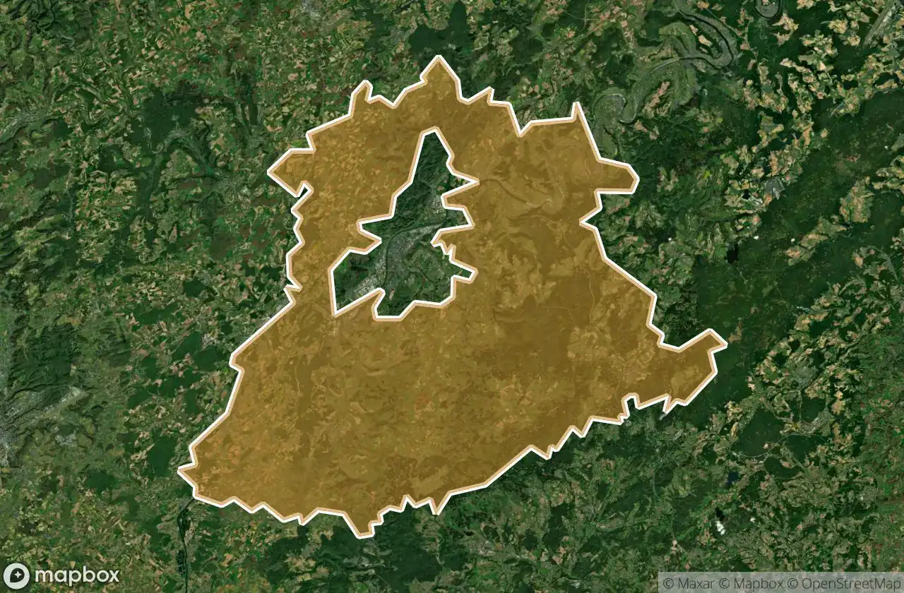
Urbex マップ Trier Saarburg
47 の廃墟: Trier Saarburg
47
スポット
一回払い - 永久アクセス
100% 安全な決済
SSL暗号化通信 · 銀行情報は保存されません
永久更新
このパックに含まれるテーマ
- バンカー
- 廃工場
- 製粉所
- 廃墟
- 軍事
- 廃ホテル
すべての廃墟: Trier Saarburg
47 の検証済みGPS座標、 Trier Saarburg, Rheinland Pfalz, ドイツ.
Looking for abandoned places in Trier Saarburg, Rheinland Pfalz, ドイツ? Urbex Maps offers 47 verified GPS coordinates of abandoned buildings in this area, including バンカー, 廃工場, 製粉所, 廃墟, 軍事, 廃ホテル.
47
verified spots
GPS
Google Maps, Waze
2026年6月
last update
Where to find abandoned places in Trier Saarburg?
The best way to find abandoned places in Trier Saarburg is through the interactive urbex map on Urbex Maps with 47 verified GPS coordinates. Top categories are バンカー, 廃工場, 製粉所, 廃墟, 軍事, 廃ホテル.
Types of abandoned places in Trier Saarburg
- バンカー
- 廃工場
- 製粉所
- 廃墟
- 軍事
- 廃ホテル
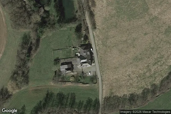
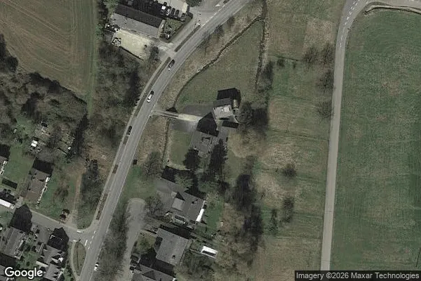
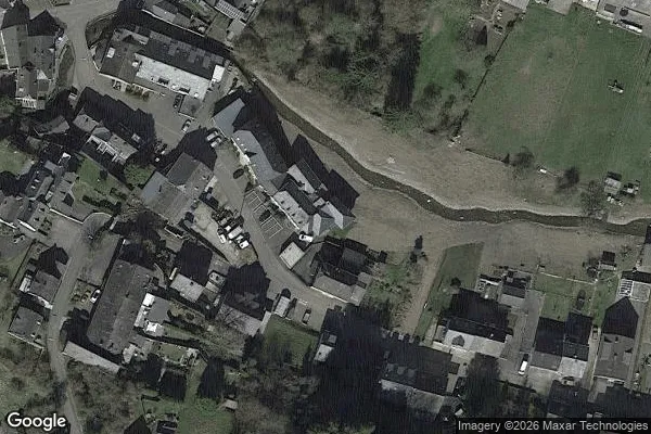
スポット: Trier Saarburg

Alter Moselbahnhof, Mehring

Artifact of the Silent Grid

Ayl

B 53, Mehring

Bekonder Straße, Föhren

Bescheider Mühle

Burg Sommerau, Ruwer
Ehemalige Andresmühle

Ehemalige Hackenberger Mühle
Ehemalige Kempsmühle

Fastrauer Mühle

Fragments of the Digital Grid

Glassschmelzofen

Hauptstraße, Mandern

Holzerath

Höckerlinie, Wiltingen

K 139, Greimerath

Kanzem

L 149, Farschweiler

L 150, Fell

Lenningen
Maximinstraße, Fell
Maximinstraße, Fell
Obere Klüsserather Mühle

Phantom Coordinate Echoes

Shadows Mapped in Silence

Shadows within the Grid

The Geometric Ghost Entry

The Geometry of Absence

The Imported Ghost Vector

The Imported Silence

The Latent Coordinate

The Latent Coordinate

The Map’s Silent Echo

Traced From The Grid

Traces in the Geometry

Turmschneise, Greimerath
Untere Klüsserather Mühle

Vectors of Forgotten Space

Waldmühle

Waldstraße, Föhren

Wasserliesch

Wasserliesch

Zum Kalfertshaus, Zerf

Zum Kalfertshaus, Zerf

ehemaliger Gutshof Friedrichshof, Trier
ehemaliges französiches Munitionslager