Donnersbergkreis
Urbex マップ Steinmühle
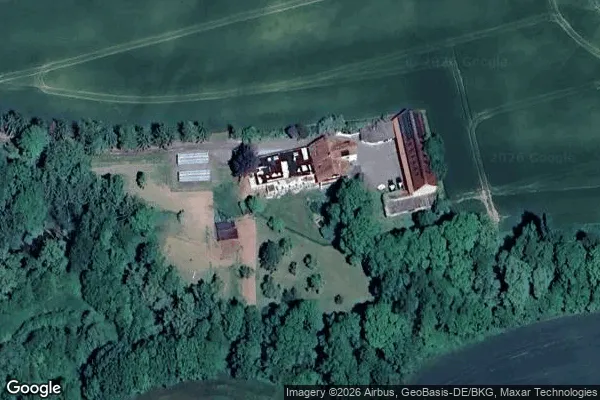
DonnersbergkreisRheinland Pfalzドイツ
永久更新
Steinmühle - Coordonnées GPS Urbex
Obtenez la coordonnée GPS exacte de ce lieu abandonné situé dans le département Donnersbergkreis (Rheinland Pfalz, ドイツ). Spot urbex vérifié et géolocalisé.
The Pfrimm Viaduct (German: Pfrimmtalviadukt), colloquially also called the Marnheim Bridge (Marnheimer Brücke), was a railway bridge near Marnheim in the county of Donnersbergkreis in the German state of Rhineland-Palatinate. It was built as a stone arch and truss bridge from 1872 to 1874, was 260 metres long and 30 metres high, and carried the Donnersberg Railway from Hungerberg over the valley of the Pfrimm to the Zeller Valley Railway, which is only open at weekends today. The bridge is a pr
0,90EUR
Paiement unique - accès à vie
100% 安全な決済
AMEX
Google Pay
stripe
SSL暗号化通信 · 銀行情報は保存されません
Ce qui est inclus
- Coordonnée GPS exacte
- Photo satellite du spot
- Accès immédiat après achat