Urbex マップ Remscheid
17 の廃墟: Remscheid
17
スポット
一回払い - 永久アクセス
100% 安全な決済
SSL暗号化通信 · 銀行情報は保存されません
永久更新
このパックに含まれるテーマ
- バンカー
- 軍事
- 鉱山
すべての廃墟: Remscheid
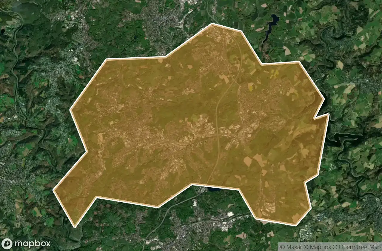
17 の検証済みGPS座標、 Remscheid, Nordrhein Westfalen, ドイツ.
Looking for abandoned places in Remscheid, Nordrhein Westfalen, ドイツ? Urbex Maps offers 17 verified GPS coordinates of abandoned buildings in this area, including バンカー, 軍事, 鉱山.
17
verified spots
GPS
Google Maps, Waze
2026年6月
last update
Where to find abandoned places in Remscheid?
The best way to find abandoned places in Remscheid is through the interactive urbex map on Urbex Maps with 17 verified GPS coordinates. Top categories are バンカー, 軍事, 鉱山.
Types of abandoned places in Remscheid
- バンカー
- 軍事
- 鉱山
スポット: Remscheid

Blumental, Remscheid

Gemarkung Remscheid, Remscheid

Gemarkung Remscheid, Remscheid

Hasten, Remscheid

Lenhartzhammer, Remscheid

Luckhausen, Remscheid

Rath, Remscheid

Schlepenpohl, Remscheid

Shadows in the Grid

The Geometry of Silence

The Geometry of Whispers

The Ghost Coordinate

The Imported Silence

The Latent Spatial Echo

The Plotted Silence

Traces Mapped in Silence

Wermelskirchen