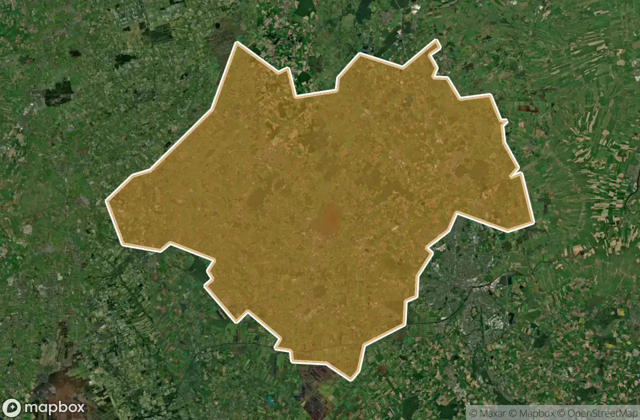
Urbex マップ Ammerland
19 の廃墟: Ammerland
19
スポット
一回払い - 永久アクセス
100% 安全な決済
SSL暗号化通信 · 銀行情報は保存されません
永久更新
このパックに含まれるテーマ
- バンカー
- 軍事
すべての廃墟: Ammerland
19 の検証済みGPS座標、 Ammerland, Niedersachsen, ドイツ.
Looking for abandoned places in Ammerland, Niedersachsen, ドイツ? Urbex Maps offers 19 verified GPS coordinates of abandoned buildings in this area, including バンカー, 軍事.
19
verified spots
GPS
Google Maps, Waze
2026年6月
last update
Where to find abandoned places in Ammerland?
The best way to find abandoned places in Ammerland is through the interactive urbex map on Urbex Maps with 19 verified GPS coordinates. Top categories are バンカー, 軍事.
Types of abandoned places in Ammerland
- バンカー
- 軍事
スポット: Ammerland

Braker Chaussee, Loyermoor

Deyekamp, Edewecht

Dänikhorsterfeld, Dänikhorst

Dänikhorsterfeld, Dänikhorst

Forsthof Diana, Jeddeloh II

Halsbeker Straße, Tarbarg

Heubült, Rastede

Hösjekamp, Bad Zwischenahn

Ocholter Straße, Apen

Oldenburger Straße, Kayhausen

Rosenkrug, Mansie

Südgeorgsfehner Straße, Bokelermoor

Wapeldorf, Rastede

Wehnerfeld, Metjendorf

Westersteder Straße, Bockhorn

Willbroksmoor, Bad Zwischenahn

Willbroksmoor, Bad Zwischenahn

Willbroksmoor, Bad Zwischenahn

Zwischenahner Kühl- und Lagerhaus, Kayhauserfeld