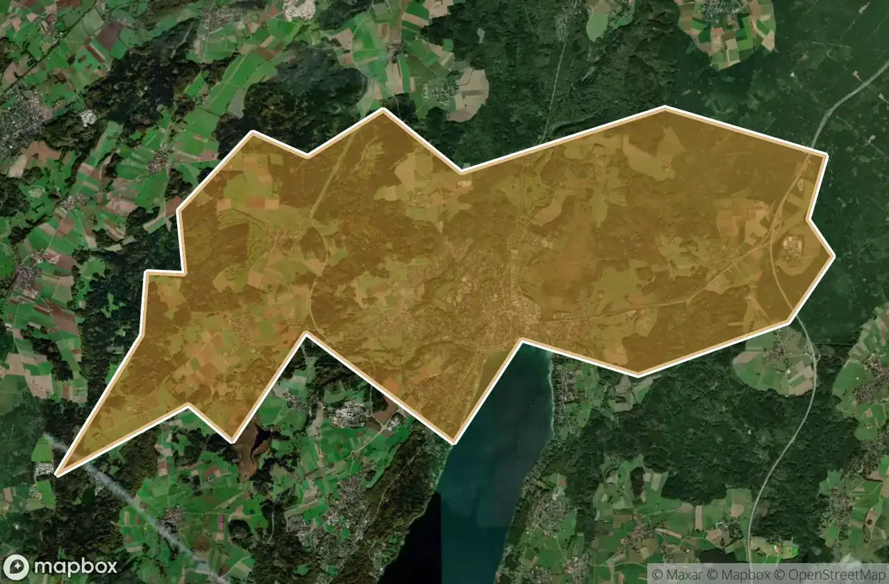
Urbex マップ Starnberg
19 の廃墟: Starnberg
19
スポット
一回払い - 永久アクセス
100% 安全な決済
SSL暗号化通信 · 銀行情報は保存されません
永久更新
このパックに含まれるテーマ
- 廃墟
すべての廃墟: Starnberg
19 の検証済みGPS座標、 Starnberg, Bayern, ドイツ.
Looking for abandoned places in Starnberg, Bayern, ドイツ? Urbex Maps offers 19 verified GPS coordinates of abandoned buildings in this area, including 廃墟.
19
verified spots
GPS
Google Maps, Waze
2026年6月
last update
Where to find abandoned places in Starnberg?
The best way to find abandoned places in Starnberg is through the interactive urbex map on Urbex Maps with 19 verified GPS coordinates. Top categories are 廃墟.
Types of abandoned places in Starnberg
- 廃墟
スポット: Starnberg

Am Bahnhof, Argelsried

Automobile Schütt & Schaupp GmbH

Bahnhofplatz, Starnberg

Inning am Ammersee

Klein-Jerusalem, Königswiesen

Klein-Jerusalem, Königswiesen

Landsberger Straße, Argelsried

Mystical energies / Mystische Energien

Possenhofener Straße, Starnberg

Schlossmauer

Shadows in the Vector

Shadows of the Mapped Ruin

Starnberg

The Geometry of Silence

The Ghost of the Grid

The Vector’s Silent Echo

The forest lodge / Waldgasthof

Traces Of A Silent Node

Tutzing