Urbex マップ Kitzingen
22 の廃墟: Kitzingen
22
スポット
一回払い - 永久アクセス
100% 安全な決済
SSL暗号化通信 · 銀行情報は保存されません
永久更新
このパックに含まれるテーマ
- バンカー
- 農場
- 廃屋
- 軍事
- 廃墟
すべての廃墟: Kitzingen
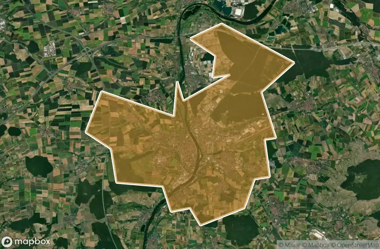
22 の検証済みGPS座標、 Kitzingen, Bayern, ドイツ.
Looking for abandoned places in Kitzingen, Bayern, ドイツ? Urbex Maps offers 22 verified GPS coordinates of abandoned buildings in this area, including バンカー, 農場, 廃屋, 軍事, 廃墟.
22
verified spots
GPS
Google Maps, Waze
2026年6月
last update
Where to find abandoned places in Kitzingen?
The best way to find abandoned places in Kitzingen is through the interactive urbex map on Urbex Maps with 22 verified GPS coordinates. Top categories are バンカー, 農場, 廃屋, 軍事, 廃墟.
Types of abandoned places in Kitzingen
- バンカー
- 農場
- 廃屋
- 軍事
- 廃墟
スポット: Kitzingen

A 3, Mainstockheim
![Dead Spot - Trabbi Farm [DEU]](/api/images/e0ad54918614d1b7)
Dead Spot - Trabbi Farm [DEU]

Großlangheimer Straße, Kitzingen

Großlangheimer Straße, Kitzingen

House of Machinery / Maschinenhaus

Levi-Strauss-Straße, Kitzingen

Neuhof, Dettelbach

Obernbreit

Pfaffensteig, Sulzfeld am Main

Prichsenstadt

Prosselsheim

Seinsheim

The Encoded Remnant

The Geometry of Silence

The Geometry of Whispers

The Imported Silent Void

The Latent Coordinate

The Latent Coordinate

The Latent Vector Trace

Traces of Mapped Silence

Volkach

conneKT, Kitzingen