Urbex マップ Wels Land
21 の廃墟: Wels Land
21
スポット
一回払い - 永久アクセス
100% 安全な決済
SSL暗号化通信 · 銀行情報は保存されません
永久更新
このパックに含まれるテーマ
- バンカー
- 軍事
- 廃墟
すべての廃墟: Wels Land
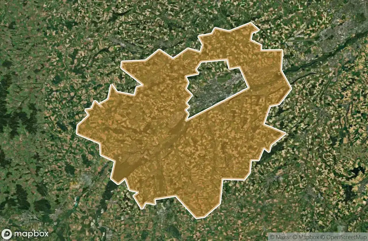
21 の検証済みGPS座標、 Wels Land, Oberosterreich, オーストリア.
Vous cherchez des lieux abandonnes a Wels Land, Oberosterreich, オーストリア ? Urbex Maps propose 21 coordonnees GPS verifiees de batiments abandonnes dans cette zone, dont バンカー, 軍事, 廃墟.
21
spots verifies
GPS
Google Maps, Waze
2026年6月
derniere mise a jour
Ou trouver des lieux abandonnes a Wels Land ?
Les lieux abandonnes a Wels Land se trouvent le mieux via la carte urbex interactive de Urbex Maps avec 21 coordonnees GPS verifiees. Les categories principales sont バンカー, 軍事, 廃墟.
Types de lieux abandonnes a Wels Land
- バンカー
- 軍事
- 廃墟
スポット: Wels Land

Hetzendorf, Weißkirchen an der Traun

Marchtrenk

Secrets of the Crimson Grange

Shadows Beneath the Emerald Veil

Shadows of the Crimson Grange

Shadows of the Crimson Grange

Shadows of the Strangled Estate

Stadl-Paura

The Broken Crown of Industry

The Hollow Heart of Harvest

The Hollow Heart of Harvest

The Imported Geometric Void

The Labyrinth of Verdant Shadows

The Sentinel of the Silent Rail

The Shrouded Industrial Monolith

The Silent Gables of Crimson Rise

The Silent Grip of Verdant Lane

Threshold of the Vanished Sky

Where the Furrows End

Whispers of the Forgotten Junction

Whispers of the Tangled Hearth