Urbex マップ Oberosterreich
278 の廃墟 • 18 県
278
スポット
一回払い - 永久アクセス
100% 安全な決済
SSL暗号化通信 · 銀行情報は保存されません
永久更新
このパックに含まれるテーマ
- 廃屋
- 廃墟
- バンカー
- 邸宅
- 城
- 農場
- 軍事
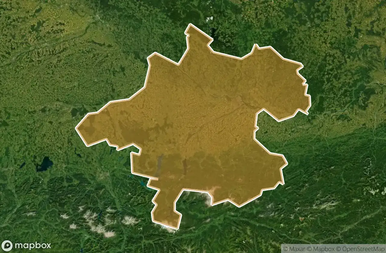
すべての廃墟: Oberosterreich
278 の検証済みGPS座標、 18 県。城、産業廃墟、病院、バンカー、鉱山。
Oberosterreich in オーストリア is home to 278 verified abandoned locations. Explore 廃屋, 廃墟, バンカー, 邸宅, 城, 農場 across 18 areas on the Urbex Maps interactive map with exact GPS coordinates.
278
verified spots
18
areas covered
GPS
Google Maps, Waze
2026年6月
last update
How to find urbex spots in Oberosterreich?
The best way to find abandoned places in Oberosterreich is through the interactive urbex map on Urbex Maps with GPS coordinates. The region has 278 verified locations across 18 areas, including Linz Stadt, Linz Land, Gmunden, Rohrbach, Vocklabruck. Top categories are 廃屋, 廃墟, バンカー, 邸宅, 城, 農場.
Abandoned places by area in Oberosterreich
| Area | Spots | Map |
|---|---|---|
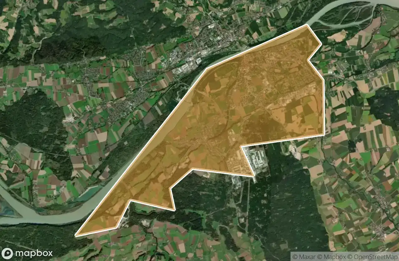
| Linz Stadt | 37 | View map → |
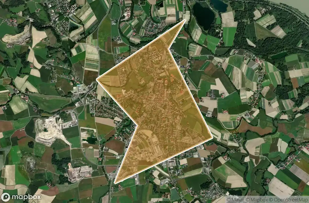
| Linz Land | 31 | View map → |
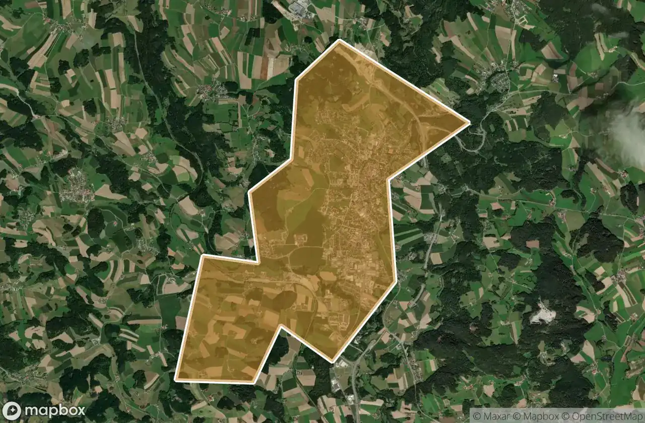
| Gmunden | 29 | View map → |
| Rohrbach | 29 | View map → |
| Vocklabruck | 28 | View map → |
| Braunau Am Inn | 25 | View map → |
| Wels Land | 21 | View map → |
| Kirchdorf An Der Krems | 17 | View map → |
| Freistadt | 11 | View map → |
| Perg | 9 | View map → |
Types of abandoned places in Oberosterreich
- 廃屋
- 廃墟
- バンカー
- 邸宅
- 城
- 農場
- 軍事
県別
県をクリックしてUrbexスポットを表示。
25
スポット
Braunau Am Inn
3
スポット
Eferding
11
スポット
Freistadt
29
スポット
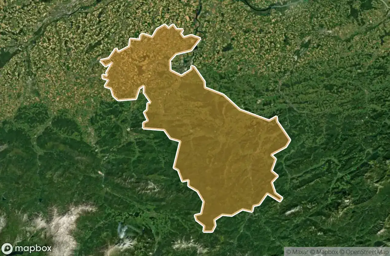
Gmunden
7
スポット
Grieskirchen
17
スポット
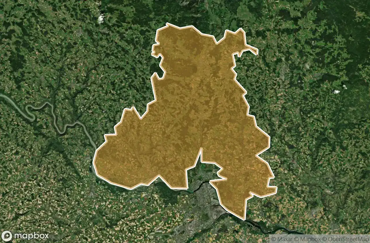
Kirchdorf An Der Krems
31
スポット
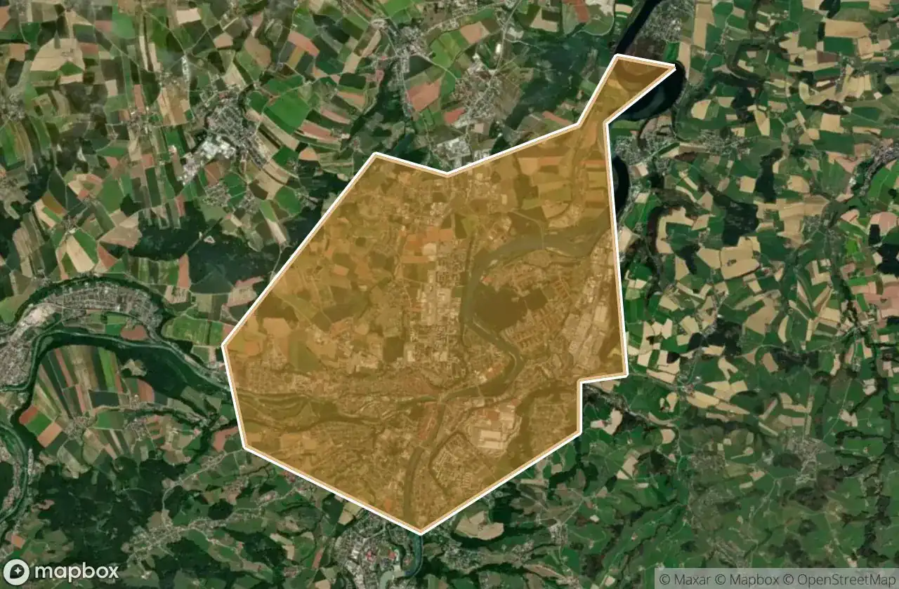
Linz Land
37
スポット
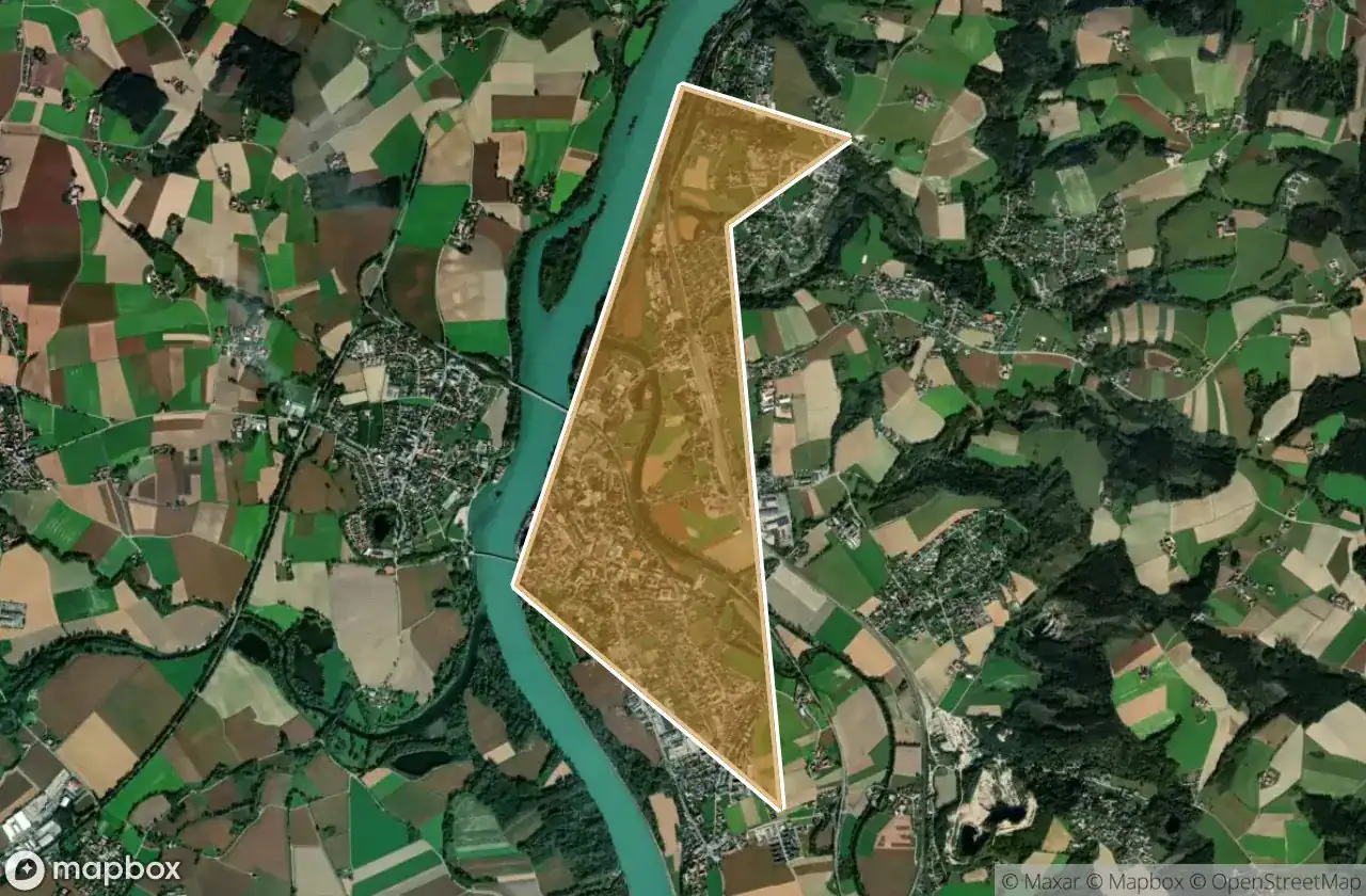
Linz Stadt
9
スポット
Perg
6
スポット
Ried Im Innkreis
29
スポット
Rohrbach
9
スポット
Scharding
3
スポット
Steyr Land
1
スポット
Steyr Stadt
8
スポット
Urfahr Umgebung
28
スポット
Vocklabruck
21
スポット
Wels Land
4
スポット
Wels Stadt