Mappa Urbex Marin
34 luoghi abbandonati a Marin
34
luoghi
Pagamento unico - accesso a vita
Aggiornamenti a vita
Temi inclusi in questo pacchetto
- Bunker
- Rovine
- Militare
- Forti
- Batterie
- Torri
Tutti i luoghi abbandonati di Marin
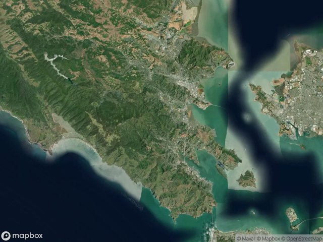
34 coordinate GPS verificate nel dipartimento di Marin, California, Stati Uniti.
Cerchi luoghi abbandonati a Marin, California, Stati Uniti? Urbex Maps offre 34 coordinate GPS verificate di edifici abbandonati in questa zona, tra cui Bunker, Rovine, Militare, Forti, Batterie, Torri.
34
spot verificati
GPS
Google Maps, Waze
giugno 2026
ultimo aggiornamento
Dove trovare luoghi abbandonati a Marin?
I luoghi abbandonati a Marin si trovano tramite la mappa urbex interattiva di Urbex Maps con 34 coordinate GPS verificate. Le categorie principali sono Bunker, Rovine, Militare, Forti, Batterie, Torri.
Tipi di luoghi abbandonati a Marin
- Bunker
- Rovine
- Militare
- Forti
- Batterie
- Torri
Spots a Marin

A Street, San Rafael

Abandoned rehab

Aberdeen Road, Novato

Almonte, Mill Valley

Battery Alexander

Battery Yates

Belvedere Island, Belvedere

Black Point-Green Point

Bunker Road

Coastal Trail

Coastal Trail

Conzelman Road

Echoes in the Spatial Grid

Fort McDowell (East Garrison), Tiburon

Hill 88

Inverness

Marinwood

Phantoms of the Imported Grid

Point Bonita Trail

Shadows of the Plotted Point

Sir Francis Drake Boulevard

Tennessee Valley Trail

The Geometry of Absence

The Geometry of Silence

The Geometry of Silence

The Grid’s Silent Echo

The Imported Phantom Grid

The Residual Coordinate

Traces Of Imported Shadows

Traces of the Grid

Traces of the Vector

Unknown Battery

Vectors of Forgotten Space

Walgreens, San Anselmo