Mappa Urbex Carmarthenshire
39 luoghi abbandonati a Carmarthenshire
39
luoghi
Pagamento unico - accesso a vita
Pagamento 100% sicuro
Connessione SSL crittografata · Nessun dato bancario memorizzato
Aggiornamenti a vita
Temi inclusi in questo pacchetto
- Chiese
- Case abbandonate
Tutti i luoghi abbandonati di Carmarthenshire
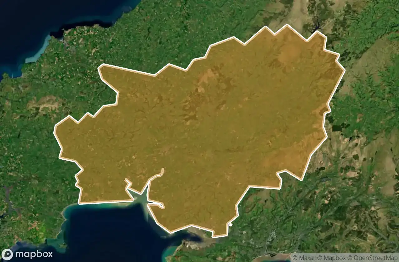
39 coordinate GPS verificate nel dipartimento di Carmarthenshire, Wales, Regno Unito.
Cerchi luoghi abbandonati a Carmarthenshire, Wales, Regno Unito? Urbex Maps offre 39 coordinate GPS verificate di edifici abbandonati in questa zona, tra cui Chiese, Case abbandonate.
39
spot verificati
GPS
Google Maps, Waze
giugno 2026
ultimo aggiornamento
Dove trovare luoghi abbandonati a Carmarthenshire?
I luoghi abbandonati a Carmarthenshire si trovano tramite la mappa urbex interattiva di Urbex Maps con 39 coordinate GPS verificate. Le categorie principali sono Chiese, Case abbandonate.
Tipi di luoghi abbandonati a Carmarthenshire
- Chiese
- Case abbandonate
Spots a Carmarthenshire

Amman Valley Cycleway, Brynaman

Amman Valley Hospital, Cwmaman

Banc Glas

Beudyau

Blaen Cwm Pedol Isaf

Bro Myrddin, Carmarthen

Bwlch Y Rhew

Carmarthen

Cilycwm

Cilycwm

Cross Hands C.P. School, Cross Hands

Cwrt Henry

Cynwyl Gaeo, Sir Gaerfyrddin / Carmarthenshire

Eastgate, Llanelli

Eatzen Chinese Restaurant, Pont-iets

Fwng Uchaf

Fynnon Oer

Gallt Y Gyrnig

Gwar Y Rhedyn

Hafod

House Doppelganger

Job's Well Road, Carmarthen

Llandeilo

Llangennech Park Mansion

Lluest Bryn Serth

Maes Mynach

Moelwast

Park Street Congregational Church

Pembrey and Burry Port Town, Sir Gaerfyrddin / Carmarthenshire

Pen-y-graig

Penrherber

Pontarddulais

Rhandir Waunau

Tir-y-dail Lane, Ammanford

Tregib Campus

Troed Y Rhiw

Waun Wen

White arrow mansion

Whitland