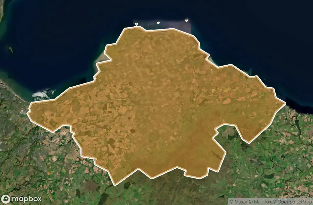
Mappa Urbex East Lothian
25 luoghi abbandonati a East Lothian
25
luoghi
Pagamento unico - accesso a vita
Pagamento 100% sicuro
Connessione SSL crittografata · Nessun dato bancario memorizzato
Aggiornamenti a vita
Temi inclusi in questo pacchetto
- Castelli
- Ospedali
- Stazioni
Tutti i luoghi abbandonati di East Lothian
25 coordinate GPS verificate nel dipartimento di East Lothian, Scotland, Regno Unito.
Cerchi luoghi abbandonati a East Lothian, Scotland, Regno Unito? Urbex Maps offre 25 coordinate GPS verificate di edifici abbandonati in questa zona, tra cui Castelli, Ospedali, Stazioni.
25
spot verificati
GPS
Google Maps, Waze
giugno 2026
ultimo aggiornamento
Dove trovare luoghi abbandonati a East Lothian?
I luoghi abbandonati a East Lothian si trovano tramite la mappa urbex interattiva di Urbex Maps con 25 coordinate GPS verificate. Le categorie principali sono Castelli, Ospedali, Stazioni.
Tipi di luoghi abbandonati a East Lothian
- Castelli
- Ospedali
- Stazioni
Spots a East Lothian

Bullet Loan, Haddington

Castle TTL

Dirleton Castle, Dirleton

East Fortune

East Fortune hospital

Flight control

Gin Head Radar station

Haddington

Haven Cafe, Dunbar

Hopetoun Mews, Haddington

Old St Andrew's church, North Berwick

Redhouse Castle, Longniddry

Seton Collegiate Church, Blindwells

Shadows of Mapped Geometry

Shadows of the Vector

Spittal, Longniddry

The Abbey, North Berwick

The Geometry of Absence

The Geometry of Silence

The Latent Coordinate

The Mapped Silence

Traces of the Ghost Grid

Vertices of the Void

Victoria Bridge, Haddington

Whitecraig