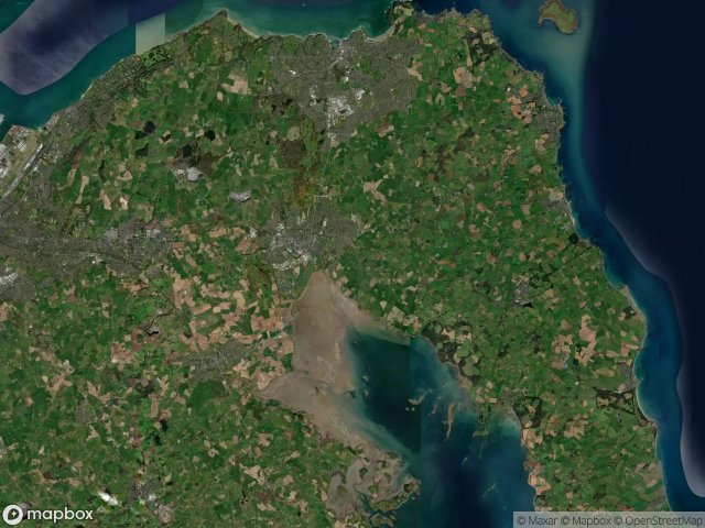
Mappa Urbex Ards And North Down
16 luoghi abbandonati a Ards And North Down
16
luoghi
Pagamento unico - accesso a vita
Pagamento 100% sicuro
Connessione SSL crittografata · Nessun dato bancario memorizzato
Aggiornamenti a vita
Temi inclusi in questo pacchetto
- Rovine
Tutti i luoghi abbandonati di Ards And North Down
16 coordinate GPS verificate nel dipartimento di Ards And North Down, Northern Ireland, Regno Unito.
Cerchi luoghi abbandonati a Ards And North Down, Northern Ireland, Regno Unito? Urbex Maps offre 16 coordinate GPS verificate di edifici abbandonati in questa zona, tra cui Rovine.
16
spot verificati
GPS
Google Maps, Waze
giugno 2026
ultimo aggiornamento
Dove trovare luoghi abbandonati a Ards And North Down?
I luoghi abbandonati a Ards And North Down si trovano tramite la mappa urbex interattiva di Urbex Maps con 16 coordinate GPS verificate. Le categorie principali sono Rovine.
Tipi di luoghi abbandonati a Ards And North Down
- Rovine
Spots a Ards And North Down

Ards Maltings

Balloo Road, Bangor

Ballymacormick Drive, Groomsport

Bridge Street, Comber

Clandeboye Forest Path, Newtownards

Creighton's Green Road, Holywood

Kirkistown, Ards and North Down District Council

Oasis, Bangor

Patchy's Lane (Designated Footpath 65), Newtownards

Portaferry Windmill

Portavogie

Royal Mail, Bangor

The Geometry of Silence

The Geometry of Silence

The Latent Digital Ghost

The Residual Vector Trace