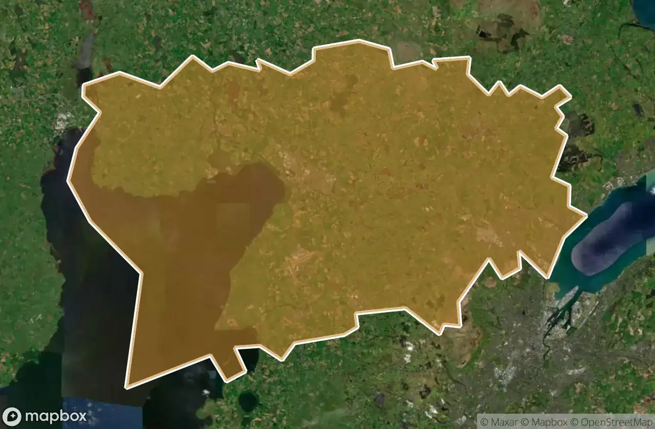
Mappa Urbex Antrim And Newtownabbey
19 luoghi abbandonati a Antrim And Newtownabbey
19
luoghi
Pagamento unico - accesso a vita
Pagamento 100% sicuro
Connessione SSL crittografata · Nessun dato bancario memorizzato
Aggiornamenti a vita
Tutti i luoghi abbandonati di Antrim And Newtownabbey
19 coordinate GPS verificate nel dipartimento di Antrim And Newtownabbey, Northern Ireland, Regno Unito.
Cerchi luoghi abbandonati a Antrim And Newtownabbey, Northern Ireland, Regno Unito? Urbex Maps offre 19 coordinate GPS verificate di edifici abbandonati in questa zona, tra cui .
19
spot verificati
GPS
Google Maps, Waze
giugno 2026
ultimo aggiornamento
Dove trovare luoghi abbandonati a Antrim And Newtownabbey?
I luoghi abbandonati a Antrim And Newtownabbey si trovano tramite la mappa urbex interattiva di Urbex Maps con 19 coordinate GPS verificate. Le categorie principali sono .
Spots a Antrim And Newtownabbey

Antrim Road, Antrim and Newtownabbey District

Castle Lug, Antrim and Newtownabbey District

Crumlin

Grange Lane, Antrim and Newtownabbey District

Grange Lane, Antrim and Newtownabbey District

Hydepark Road, Antrim and Newtownabbey District

M2, Antrim and Newtownabbey District

Mallusk Road, Antrim and Newtownabbey District

Old Church Road, Newtownabbey

Riverside Special School, Antrim

The Geometry of Absence

The Grid’s Silent Echo

The Imported Silence

The Phantom Coordinate

The Plotted Void

Traces of Deleted Space

Traces of the Imported Void

Vertices Of A Silence

Whiteabbey Hospital, Newtownabbey