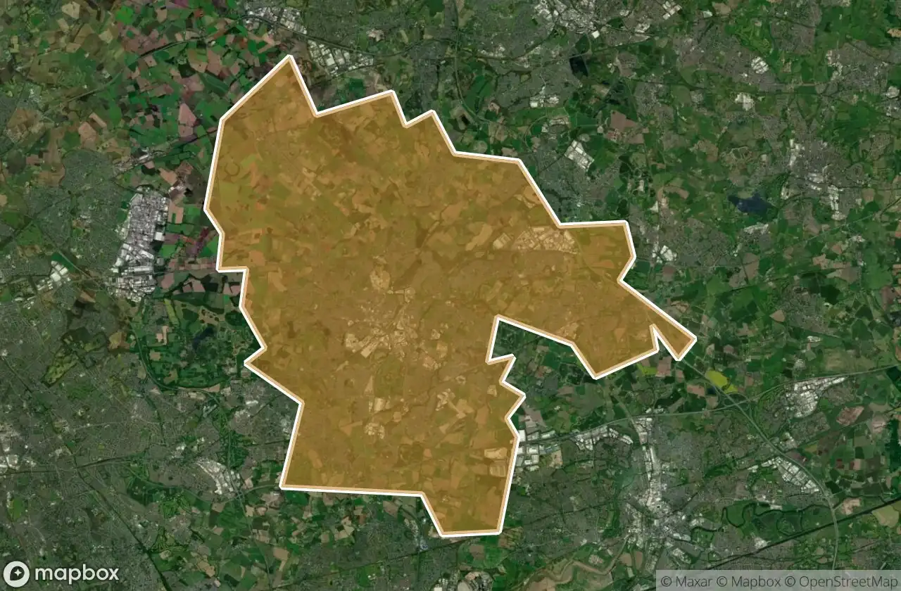
Mappa Urbex St Helens
20 luoghi abbandonati a St Helens
20
luoghi
Pagamento unico - accesso a vita
Pagamento 100% sicuro
Connessione SSL crittografata · Nessun dato bancario memorizzato
Aggiornamenti a vita
Temi inclusi in questo pacchetto
- Batterie
- Bunker
Tutti i luoghi abbandonati di St Helens
20 coordinate GPS verificate nel dipartimento di St Helens, England, Regno Unito.
Cerchi luoghi abbandonati a St Helens, England, Regno Unito? Urbex Maps offre 20 coordinate GPS verificate di edifici abbandonati in questa zona, tra cui Batterie, Bunker.
20
spot verificati
GPS
Google Maps, Waze
giugno 2026
ultimo aggiornamento
Dove trovare luoghi abbandonati a St Helens?
I luoghi abbandonati a St Helens si trovano tramite la mappa urbex interattiva di Urbex Maps con 20 coordinate GPS verificate. Le categorie principali sono Batterie, Bunker.
Tipi di luoghi abbandonati a St Helens
- Batterie
- Bunker
Spots a St Helens

Abbey Road, Moss Bank

Cannington Shaw Bottle Shop

Central Way, Newton-le-Willows

Crank, St Helens

East Lancashire Road, Blackbrook

King's Moss, Billinge

Leyland Green, Downall Green

Leyland Green, Downall Green

Lionel Street, St Helens

Military battery

Monastery Lane, St Helens

Parkside Colliery

Parkside Link Road West, Newton-le-Willows

St Helens

St Helens

St Helens

St Helens

The Geometry of Silence

The Millstone

Widnes