Mappa Urbex Shropshire
51 luoghi abbandonati a Shropshire
51
luoghi
Pagamento unico - accesso a vita
Pagamento 100% sicuro
Connessione SSL crittografata · Nessun dato bancario memorizzato
Aggiornamenti a vita
Temi inclusi in questo pacchetto
- Case abbandonate
- Bunker
- Castelli
Tutti i luoghi abbandonati di Shropshire
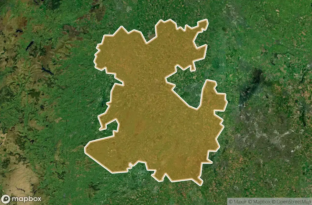
51 coordinate GPS verificate nel dipartimento di Shropshire, England, Regno Unito.
Cerchi luoghi abbandonati a Shropshire, England, Regno Unito? Urbex Maps offre 51 coordinate GPS verificate di edifici abbandonati in questa zona, tra cui Case abbandonate, Bunker, Castelli.
51
spot verificati
GPS
Google Maps, Waze
giugno 2026
ultimo aggiornamento
Dove trovare luoghi abbandonati a Shropshire?
I luoghi abbandonati a Shropshire si trovano tramite la mappa urbex interattiva di Urbex Maps con 51 coordinate GPS verificate. Le categorie principali sono Case abbandonate, Bunker, Castelli.
Tipi di luoghi abbandonati a Shropshire
- Case abbandonate
- Bunker
- Castelli
Spots a Shropshire

A483, Pant

Acton Burnell Castle

Apricot Barn, Prees

Ash

Barrow, Benthall

Bayston Hill

Berrington

Billingsley, Glazeley

Bucknell

Buildwas, Shropshire

Catalogue Centre

Caynton Hall Grotto

Chirk

Cleobury Mortimer

Cornerwood, Prees Higher Heath

Edgeley Bank, Ash Magna

Great Ness

Great Ness

Huffley Lane, Shrewsbury

Ironbridge

Kersaldale, Prees Green

Lilyfields, Prees

Longnor

Madeley

Market Drayton

Oswestry

Oxon, Shrewsbury

Pontesbury

Rosalind House

Shadows of the Grid

Shawbury

Shrewsbury

Shrewsbury

Shrewsbury

Stoke upon Tern

Tenbury Wells

The Bungalow, Shrewsbury

The Coordinates of Silence

The Geometry of Silence

The Old Meadow, Shrewsbury

The Paddock, Prees Higher Heath

WW2 pillbox

Wem

Wem

Wem

Wem

Wem

Wem

Westbury

Whitchurch

White Grit Engine House