Mappa Urbex Rochdale
48 luoghi abbandonati a Rochdale
48
luoghi
Pagamento unico - accesso a vita
Pagamento 100% sicuro
Connessione SSL crittografata · Nessun dato bancario memorizzato
Aggiornamenti a vita
Temi inclusi in questo pacchetto
- Fabbriche abbandonate
- Mulini
Tutti i luoghi abbandonati di Rochdale
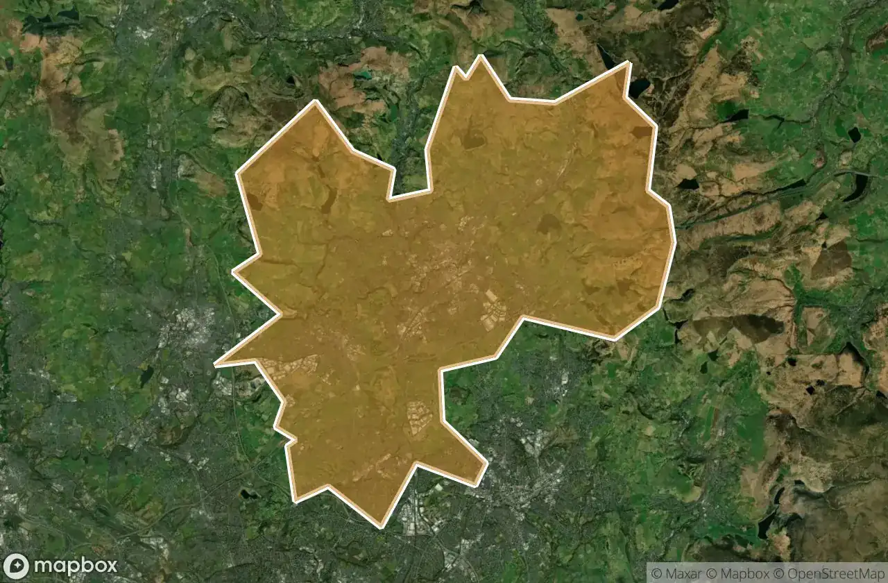
48 coordinate GPS verificate nel dipartimento di Rochdale, England, Regno Unito.
Cerchi luoghi abbandonati a Rochdale, England, Regno Unito? Urbex Maps offre 48 coordinate GPS verificate di edifici abbandonati in questa zona, tra cui Fabbriche abbandonate, Mulini.
48
spot verificati
GPS
Google Maps, Waze
giugno 2026
ultimo aggiornamento
Dove trovare luoghi abbandonati a Rochdale?
I luoghi abbandonati a Rochdale si trovano tramite la mappa urbex interattiva di Urbex Maps con 48 coordinate GPS verificate. Le categorie principali sono Fabbriche abbandonate, Mulini.
Tipi di luoghi abbandonati a Rochdale
- Fabbriche abbandonate
- Mulini
Spots a Rochdale

Ashworth Mill

Ashworth Road, Heywood

Bell Street, Rochdale

Birtle Dean Mills

Carr Lane, Newhey

Carr Lane, Newhey

Castleway, Castleton

Cheesden Lumb Mill

Cheesden Mill

Entwisle Road, Milnrow

Haugh Square, Newhey

Healey Hall Mill

Heywood

Heywood

Imported Shadows in Code

Littleborough

M62, Newhey

Market Place, Heywood

Market Place, Middleton

Middleton

Railway Street, Littleborough

Rakewood, Littleborough

Rectory Street, Middleton

Rochdale

Rossendale

Rossendale

Rossendale

Rossendale

Saint John of the damned

Shadows of the Imported Grid

Shards of the Imported Grid

Syke Road, Littleborough

The Geometry of Silence

The Geometry of Silence

The Ice Cream Shop at Lodge, Middleton

The Imported Void

Thornham New Road, Castleton

Traces of the Silent Grid

Tunshill Lane, Littleborough

Whitworth

Whitworth

Whitworth

Whitworth

Whitworth

Whitworth

Whitworth

Whitworth

Whitworth