Mappa Urbex Oxfordshire
28 luoghi abbandonati a Oxfordshire
28
luoghi
Pagamento unico - accesso a vita
Pagamento 100% sicuro
Connessione SSL crittografata · Nessun dato bancario memorizzato
Aggiornamenti a vita
Temi inclusi in questo pacchetto
- Chiese
- Case abbandonate
- Bunker
- Fattorie
- Manieri
- Militare
Tutti i luoghi abbandonati di Oxfordshire
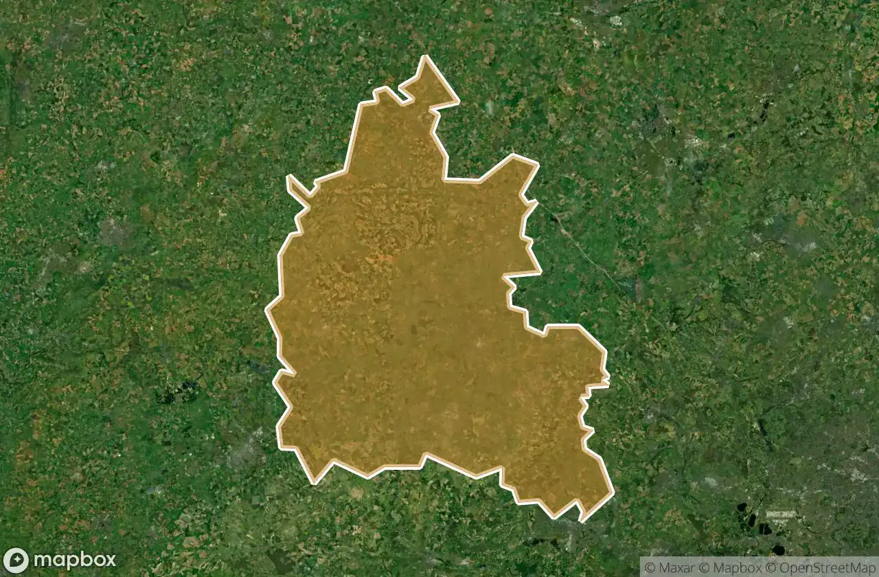
28 coordinate GPS verificate nel dipartimento di Oxfordshire, England, Regno Unito.
Cerchi luoghi abbandonati a Oxfordshire, England, Regno Unito? Urbex Maps offre 28 coordinate GPS verificate di edifici abbandonati in questa zona, tra cui Chiese, Case abbandonate, Bunker, Fattorie, Manieri, Militare.
28
spot verificati
GPS
Google Maps, Waze
giugno 2026
ultimo aggiornamento
Dove trovare luoghi abbandonati a Oxfordshire?
I luoghi abbandonati a Oxfordshire si trovano tramite la mappa urbex interattiva di Urbex Maps con 28 coordinate GPS verificate. Le categorie principali sono Chiese, Case abbandonate, Bunker, Fattorie, Manieri, Militare.
Tipi di luoghi abbandonati a Oxfordshire
- Chiese
- Case abbandonate
- Bunker
- Fattorie
- Manieri
- Militare
Spots a Oxfordshire

Arncott Signal Box

Barrowbush Barn

Boar’s hill RoC outpost

Buckingham Road, Launton

Chapel Lane, Little Bourton

Charlbury

Claydon

Combe Road, Oxford

Cowley

Cowley Road, Oxford
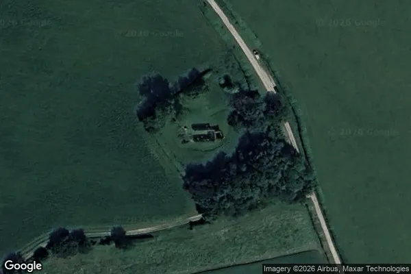
![Dead Spot - College Carmel [GBR]](/api/images/13e2be96c808c265)
Dead Spot - College Carmel [GBR]

Hampton Gay Manor

MT Yard, Launton

MT Yard, Launton

Nuffield House

Old Headgington Hill Hall pool

Pangbourne

Queen's Tower

RAF Mount Farm Air Raid Shelter

Randolph Street Mews

Remains of St Nicholas's College

Rotherfield Peppard
St James Church, Bix Brand

Thorpe Road, Wardington

Wayland's Smithy, Ashbury

Wheatley

Witney

Yarnton Sewage Works