Mappa Urbex Dorset
34 luoghi abbandonati a Dorset
34
luoghi
Pagamento unico - accesso a vita
Pagamento 100% sicuro
Connessione SSL crittografata · Nessun dato bancario memorizzato
Aggiornamenti a vita
Temi inclusi in questo pacchetto
- Case abbandonate
- Bunker
- Fabbriche abbandonate
- Mulini
- Prigioni
- Batterie
- Rovine
- Castelli
Tutti i luoghi abbandonati di Dorset
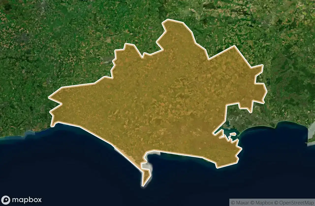
34 coordinate GPS verificate nel dipartimento di Dorset, England, Regno Unito.
Cerchi luoghi abbandonati a Dorset, England, Regno Unito? Urbex Maps offre 34 coordinate GPS verificate di edifici abbandonati in questa zona, tra cui Case abbandonate, Bunker, Fabbriche abbandonate, Mulini, Prigioni, Batterie.
34
spot verificati
GPS
Google Maps, Waze
giugno 2026
ultimo aggiornamento
Dove trovare luoghi abbandonati a Dorset?
I luoghi abbandonati a Dorset si trovano tramite la mappa urbex interattiva di Urbex Maps con 34 coordinate GPS verificate. Le categorie principali sono Case abbandonate, Bunker, Fabbriche abbandonate, Mulini, Prigioni, Batterie.
Tipi di luoghi abbandonati a Dorset
- Case abbandonate
- Bunker
- Fabbriche abbandonate
- Mulini
- Prigioni
- Batterie
- Rovine
- Castelli
Spots a Dorset

AKH heating

Arne Hill Heavy Anti-Aircraft Battery

B3147, Dorchester

Beaminster

Belle View Bunker

Castletown

Cattistock

Chideock Castle (Site of) & Martyrs Cross

Clapgate, Stanbridge

Crewkerne
![Dead Spot - River Prison [GBR]](/api/images/6e479d1ca8b19083)
Dead Spot - River Prison [GBR]

Decoy House

Incline Road, Castletown

Incline Road, Castletown

Overcombe

Shaftesbury

Shaftesbury Road, Gillingham

Sixpenny Handley

South Bark Lime Kiln

Stanbridge

Sturminster Newton

Sturminster Newton

Swanage

Swanage

Swanage

The Geometry of Silence

The Mapped Absence

The Old Mill

The Verne Citadel, Fortuneswell

Vertices of the Forgotten

West Bottom, Chaldon Herring

Wool

Wool

tumulus, Milborne St Andrew