Mappa Urbex Aargau
78 luoghi abbandonati • 11 dipartimenti
78
luoghi
Pagamento unico - accesso a vita
Pagamento 100% sicuro
Connessione SSL crittografata · Nessun dato bancario memorizzato
Aggiornamenti a vita
Temi inclusi in questo pacchetto
- Bunker
- Militare
- Case abbandonate
- Castelli
- Rovine
- Ville abbandonate
Tutti i luoghi abbandonati di Aargau
78 coordinate GPS verificate su 11 dipartimenti. Castelli, rovine industriali, ospedali, bunker, miniere.
Esplora gli edifici abbandonati in Aargau, Svizzera. La mappa urbex elenca 78 spot verificati via GPS in 11 aree, coprendo Bunker, Militare, Case abbandonate, Castelli, Rovine, Ville abbandonate e altro.
78
spot verificati
11
aree coperte
GPS
Google Maps, Waze
giugno 2026
ultimo aggiornamento
Quels batiments abandonnes explorer en Aargau ?
I luoghi abbandonati in Aargau si trovano meglio tramite la mappa urbex interattiva di Urbex Maps con coordinate GPS. La regione conta 78 localizzazioni verificate in 11 aree, tra cui Zurzach, Laufenburg, Baden, Bremgarten, Zofingen. Le categorie principali sono Bunker, Militare, Case abbandonate, Castelli, Rovine, Ville abbandonate.
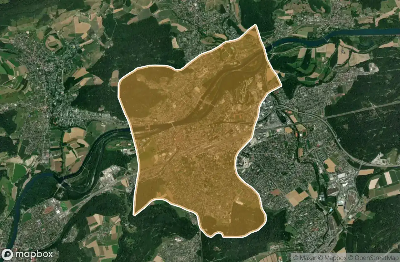
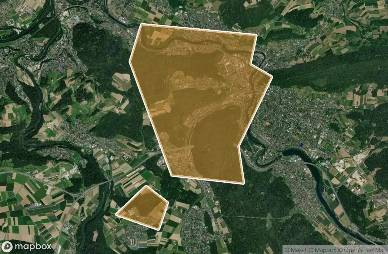
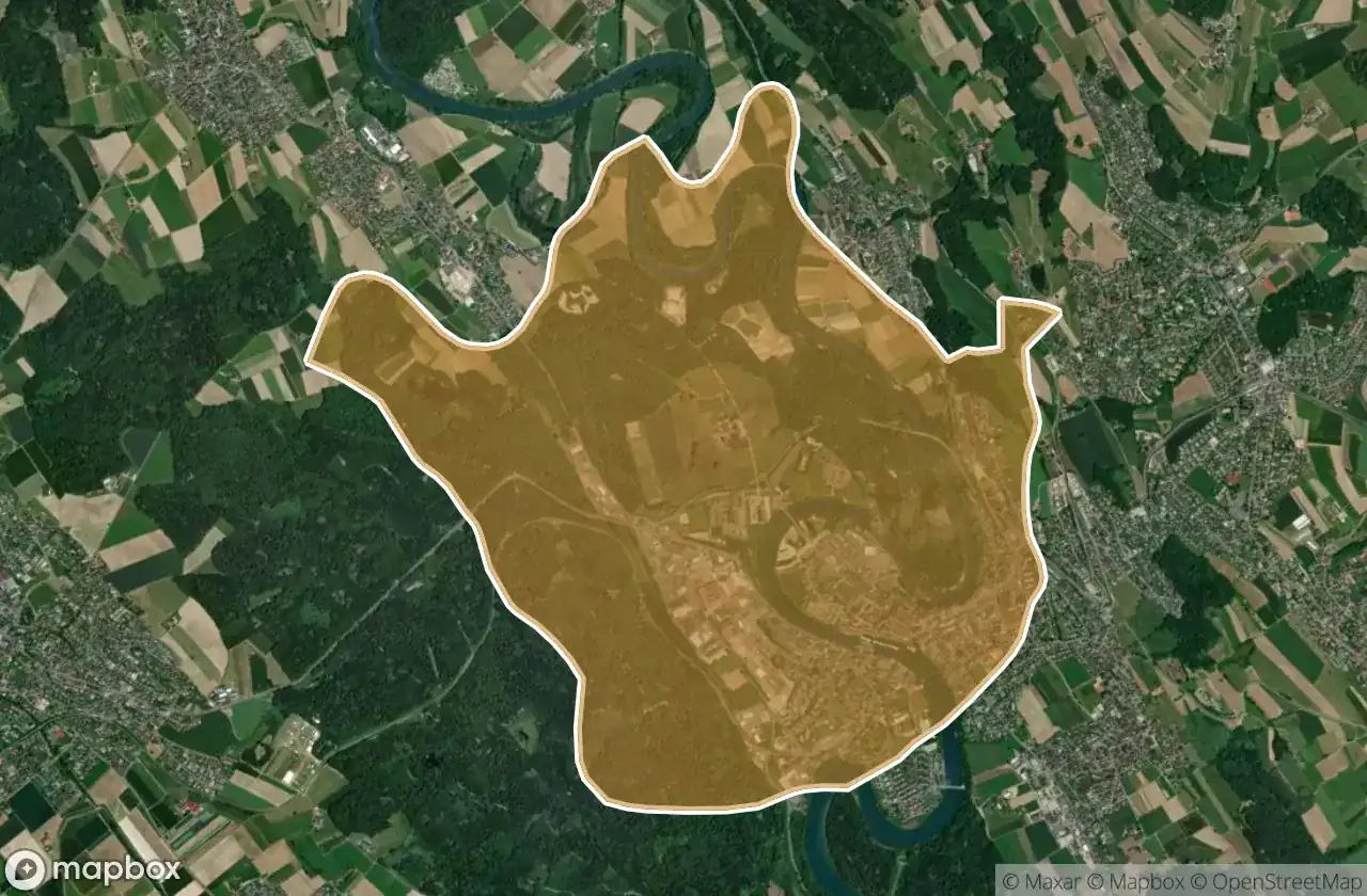
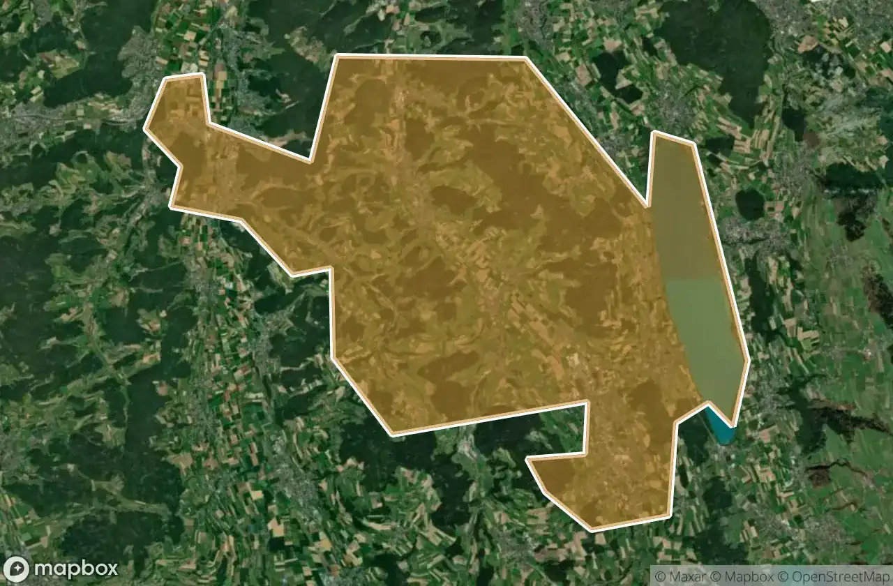
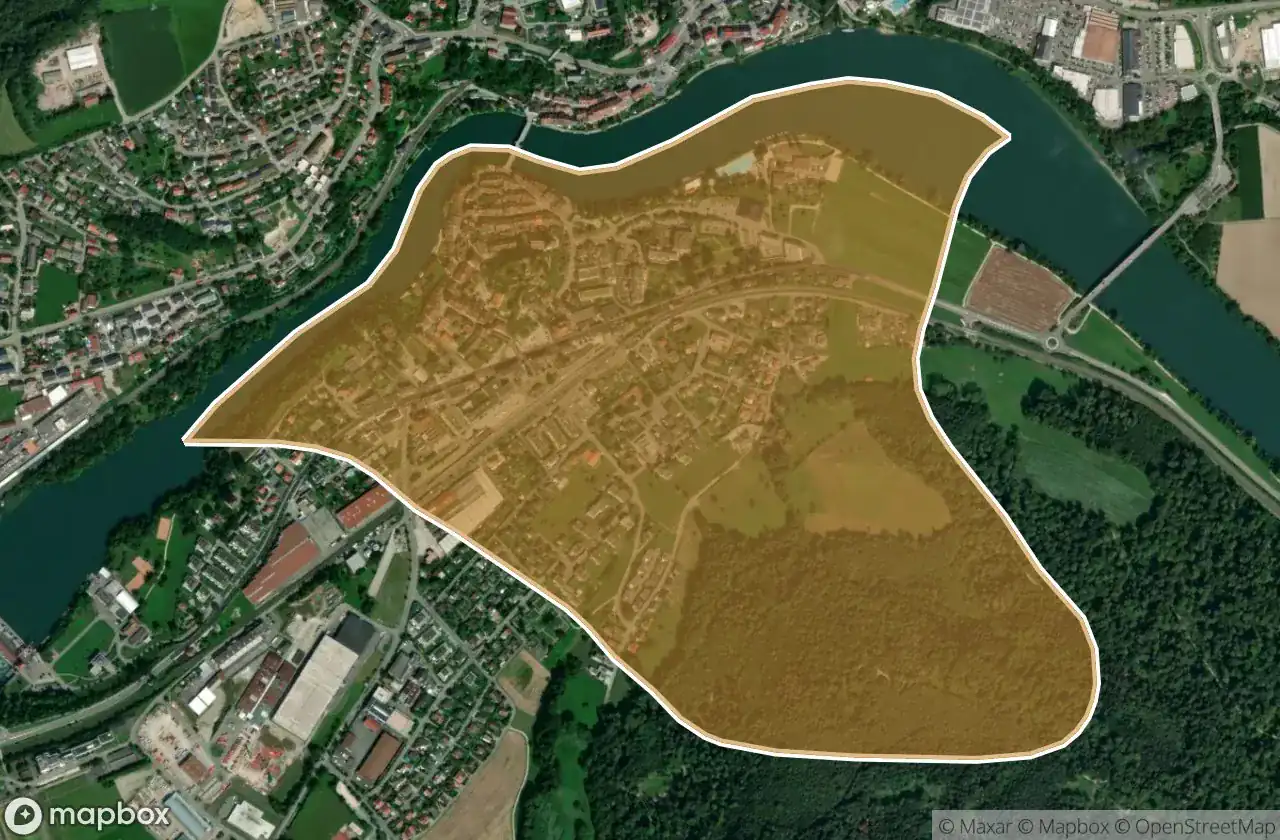
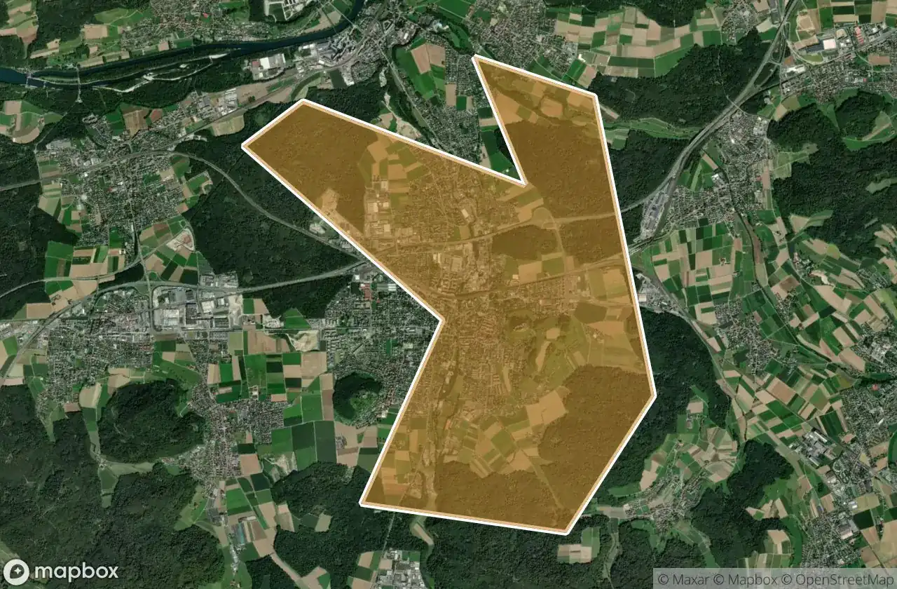
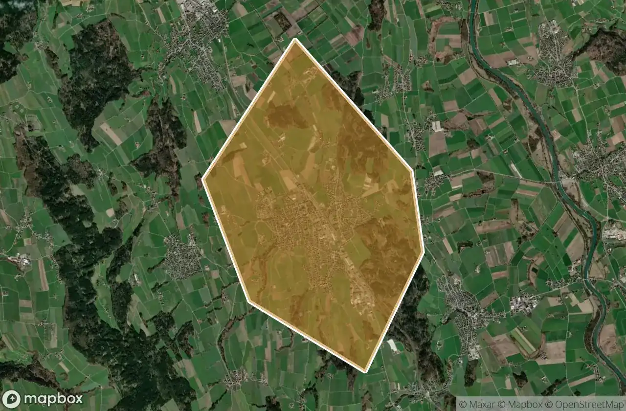
Luoghi abbandonati per area in Aargau
| Area | Spot | Mappa |
|---|---|---|
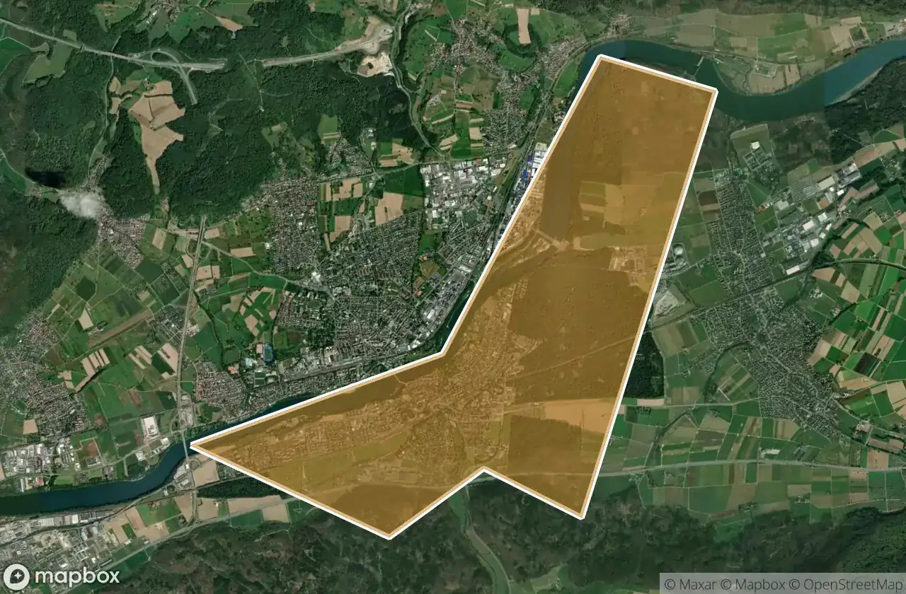
| Zurzach | 13 | Vedi mappa → |
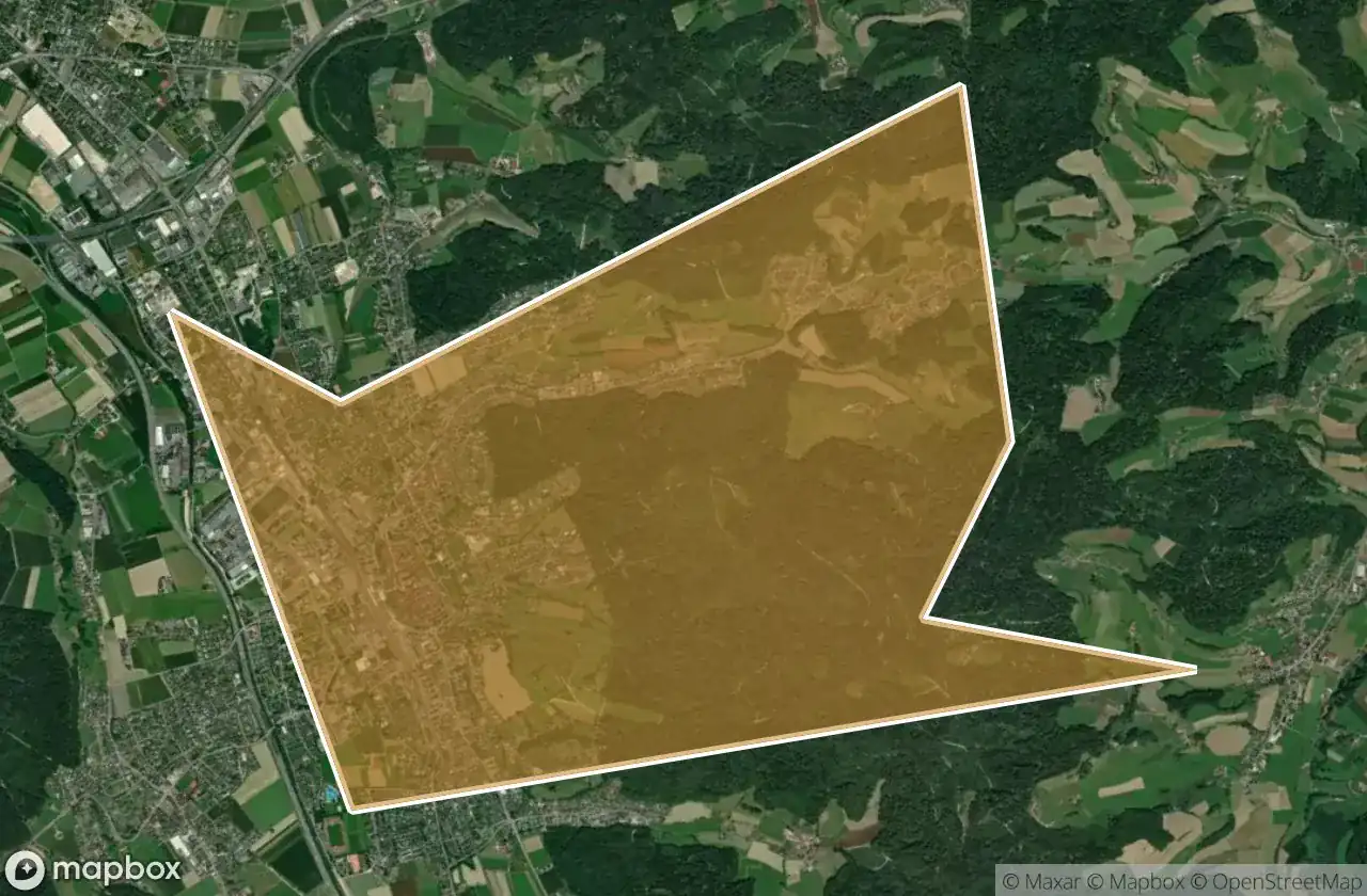
| Laufenburg | 12 | Vedi mappa → |
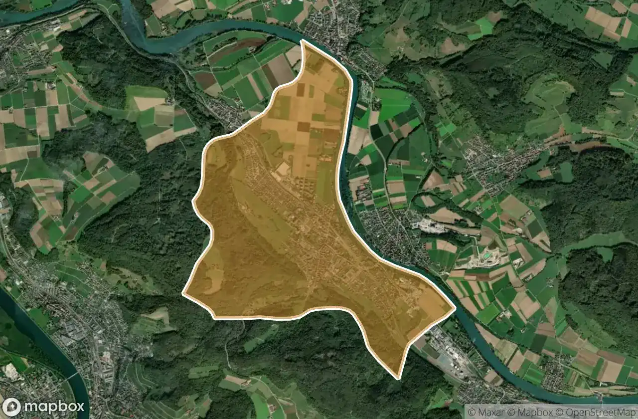
| Baden | 11 | Vedi mappa → |
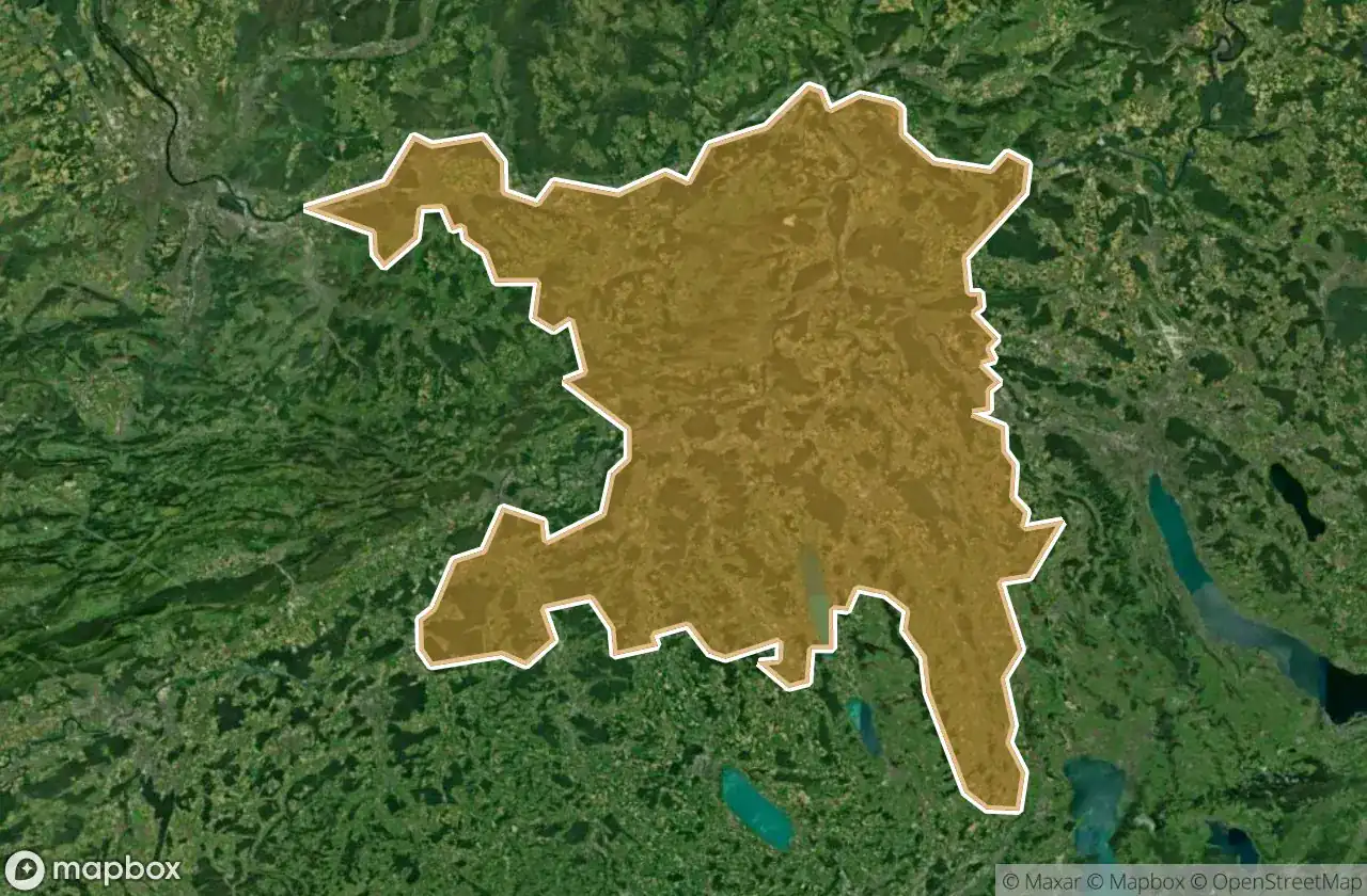
| Bremgarten | 9 | Vedi mappa → |
| Zofingen | 6 | Vedi mappa → |
| Lenzburg | 5 | Vedi mappa → |
| Muri | 5 | Vedi mappa → |
| Rheinfelden | 5 | Vedi mappa → |
| Aarau | 4 | Vedi mappa → |
| Brugg | 4 | Vedi mappa → |
Tipi di luoghi abbandonati in Aargau
- Bunker
- Militare
- Case abbandonate
- Castelli
- Rovine
- Ville abbandonate
Per dipartimento
Clicca su un dipartimento per vedere i suoi luoghi urbex.