Mappa Urbex Mariy El
67 luoghi abbandonati • 14 dipartimenti
67
luoghi
Pagamento unico - accesso a vita
Pagamento 100% sicuro
Connessione SSL crittografata · Nessun dato bancario memorizzato
Aggiornamenti a vita
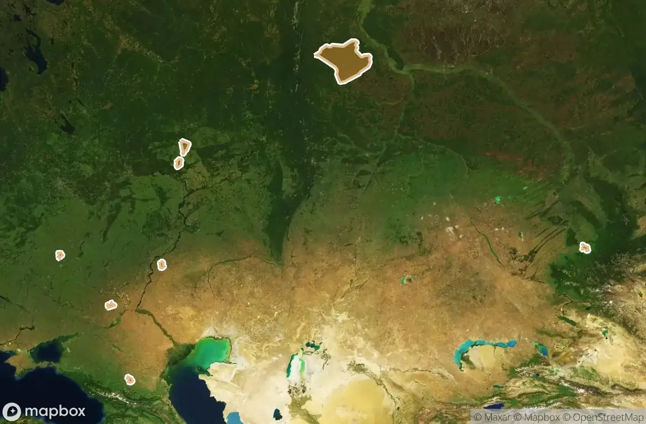
Tutti i luoghi abbandonati di Mariy El
67 coordinate GPS verificate su 14 dipartimenti. Castelli, rovine industriali, ospedali, bunker, miniere.
Esplora gli edifici abbandonati in Mariy El, Russia. La mappa urbex elenca 67 spot verificati via GPS in 14 aree, coprendo e altro.
67
spot verificati
14
aree coperte
GPS
Google Maps, Waze
giugno 2026
ultimo aggiornamento
Quels batiments abandonnes explorer en Mariy El ?
I luoghi abbandonati in Mariy El si trovano meglio tramite la mappa urbex interattiva di Urbex Maps con coordinate GPS. La regione conta 67 localizzazioni verificate in 14 aree, tra cui Gornomariyskiy Rayon, Kilemarskiy Rayon, Medvedevskiy Rayon, Zvenigovskiy Rayon, Morkinskiy Rayon. Le categorie principali sono .
Luoghi abbandonati per area in Mariy El
| Area | Spot | Mappa |
|---|---|---|
| Gornomariyskiy Rayon | 16 | Vedi mappa → |
| Kilemarskiy Rayon | 13 | Vedi mappa → |
| Medvedevskiy Rayon | 7 | Vedi mappa → |
| Zvenigovskiy Rayon | 6 | Vedi mappa → |
| Morkinskiy Rayon | 5 | Vedi mappa → |
| Ioshkar Ola | 4 | Vedi mappa → |
| Paran Ginskiy Rayon | 4 | Vedi mappa → |
| Yurinskiy Rayon | 3 | Vedi mappa → |
| Mari Turekskiy Rayon | 2 | Vedi mappa → |
| Orshanskiy Rayon | 2 | Vedi mappa → |
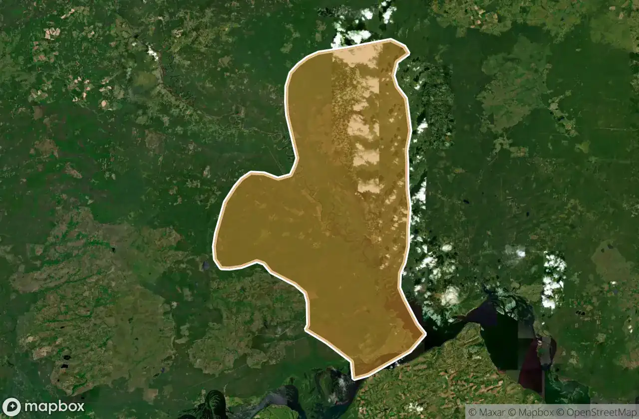
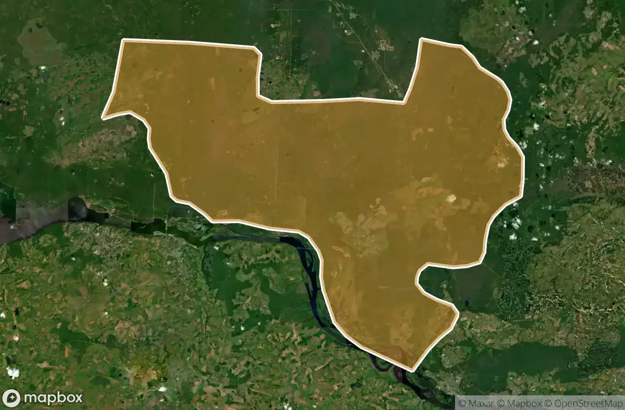
Per dipartimento
Clicca su un dipartimento per vedere i suoi luoghi urbex.
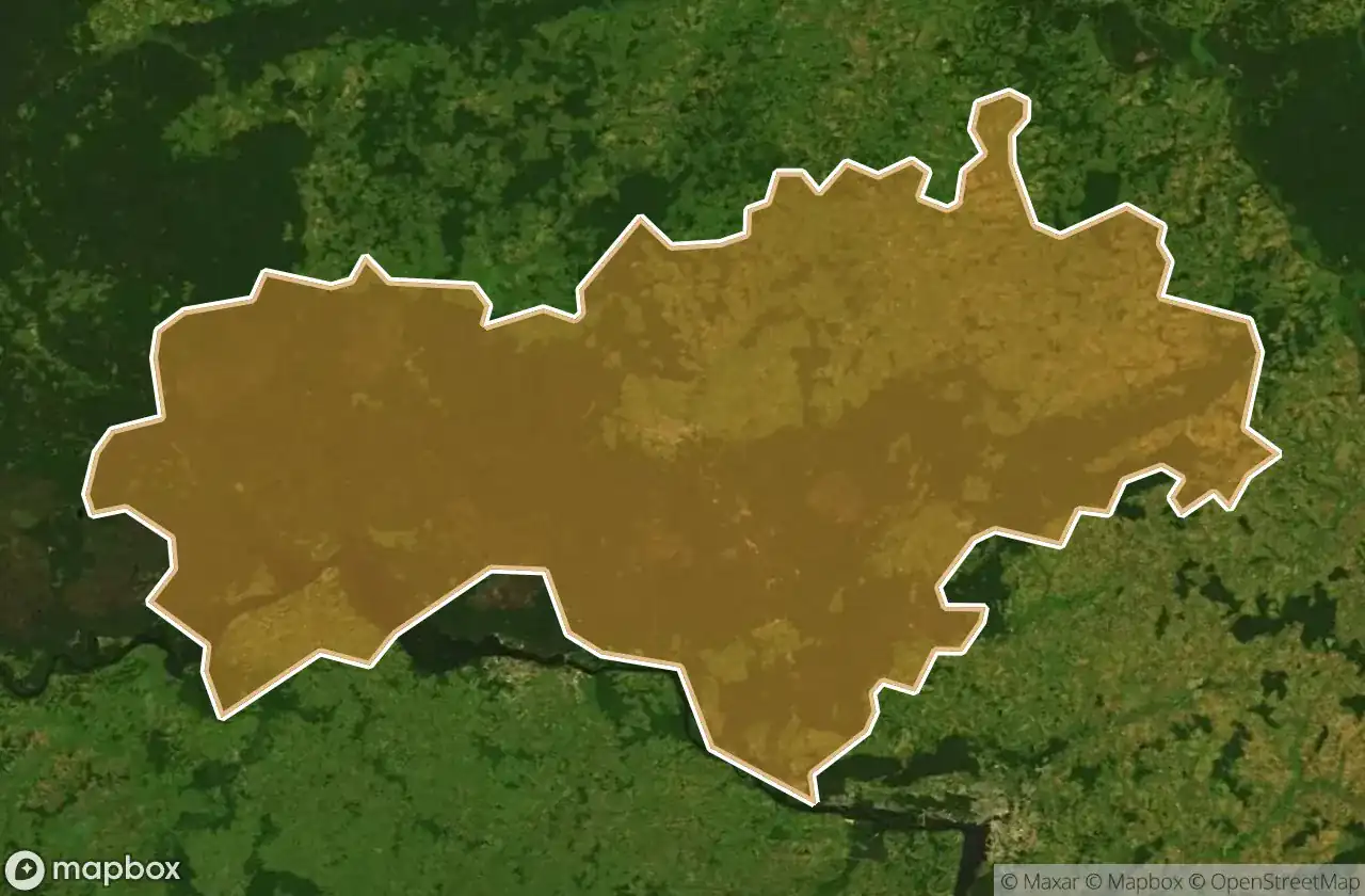
16
luoghi
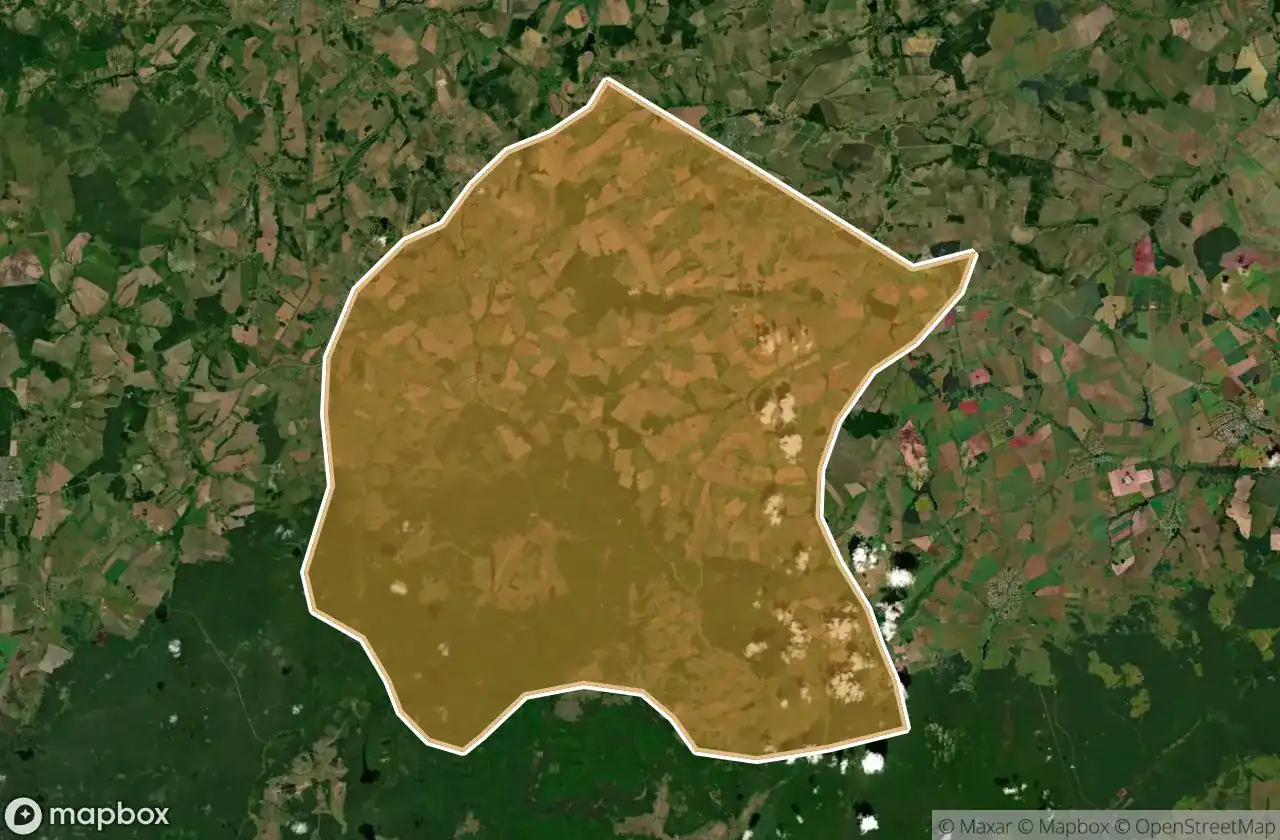
Gornomariyskiy Rayon
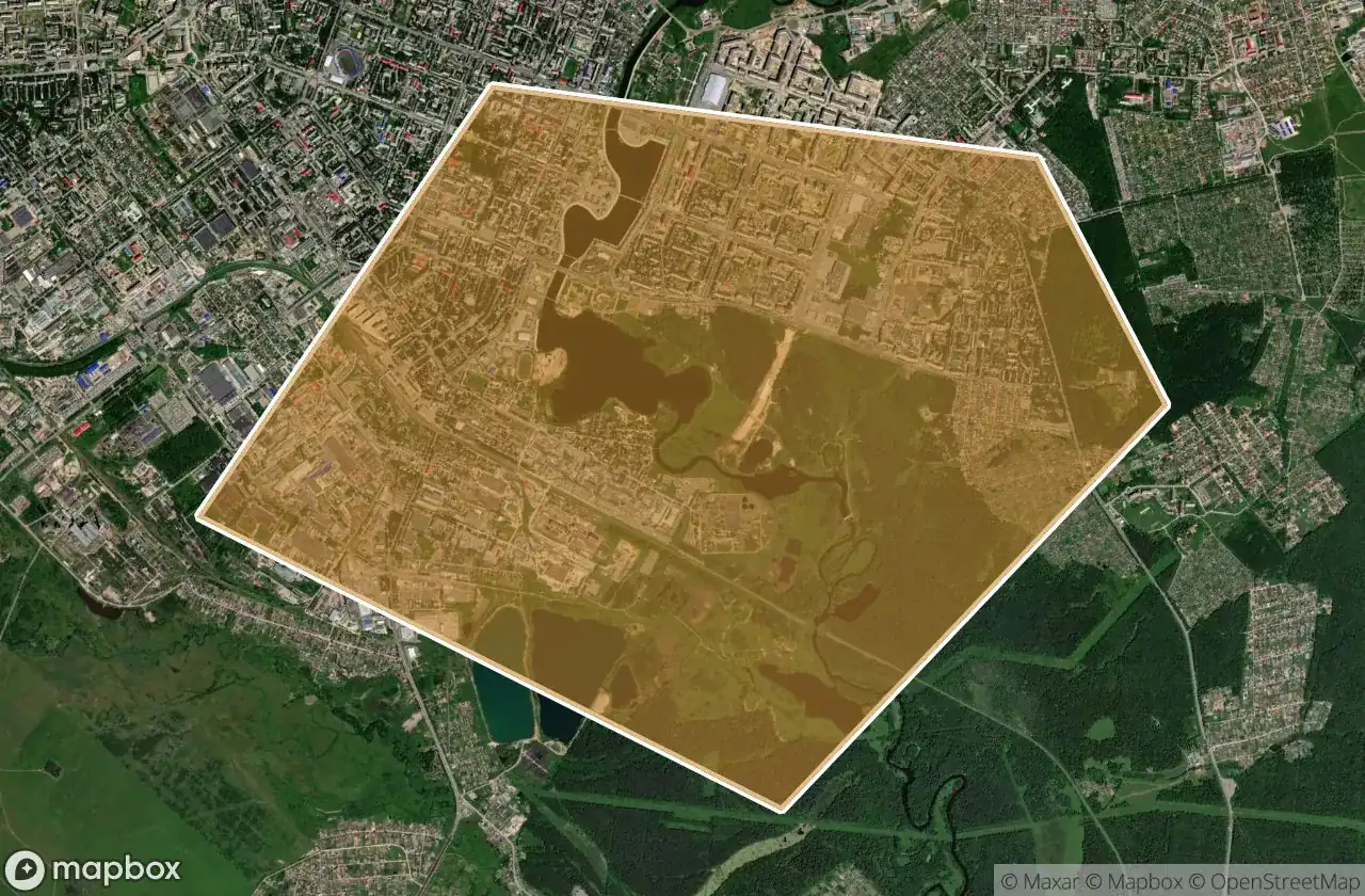
4
luoghi
Ioshkar Ola
13
luoghi
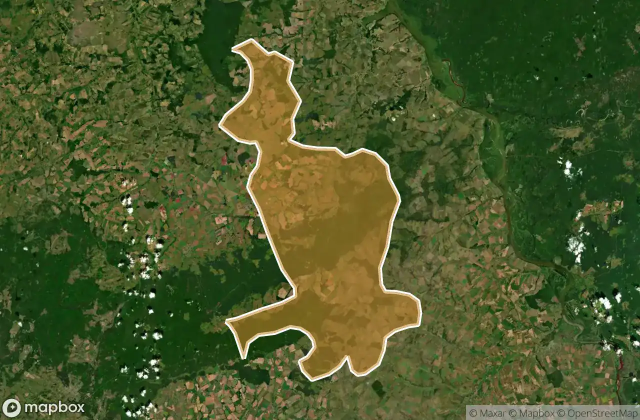
Kilemarskiy Rayon
1
luoghi
Kuzhenerskiy Rayon
2
luoghi
Mari Turekskiy Rayon
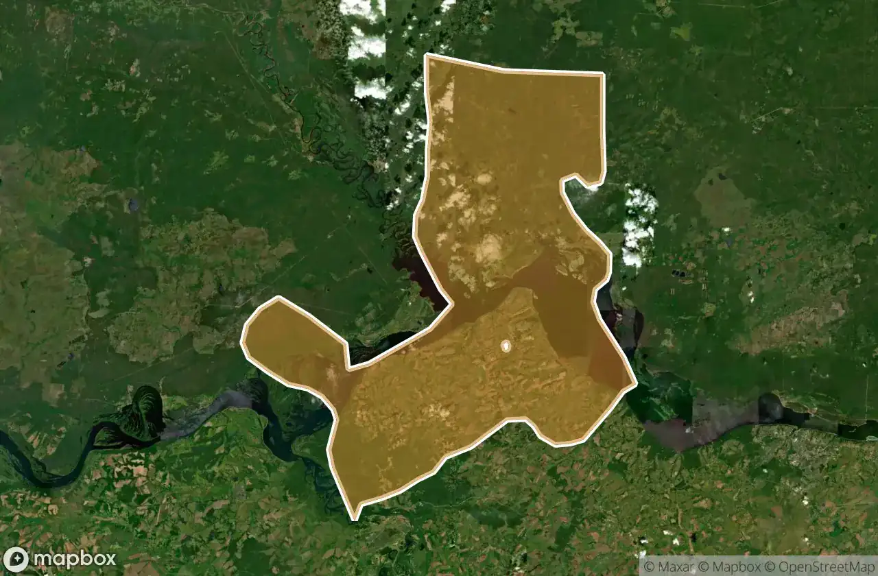
7
luoghi
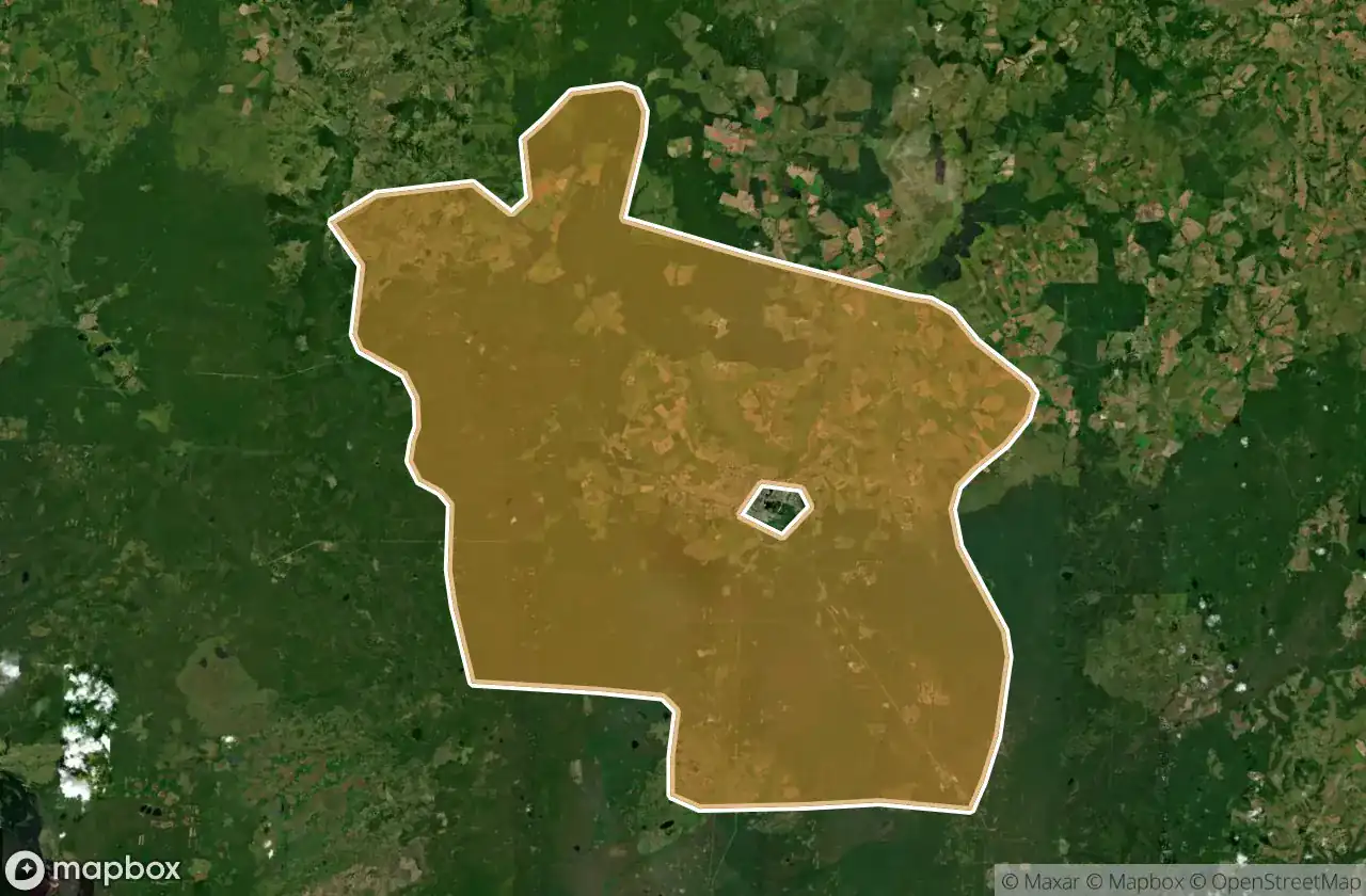
Medvedevskiy Rayon
5
luoghi
Morkinskiy Rayon
1
luoghi
Novotor Yal Skiy Rayon
2
luoghi
Orshanskiy Rayon
4
luoghi
Paran Ginskiy Rayon
1
luoghi
Sernurskiy Rayon
2
luoghi
Sovetskiy Rayon
3
luoghi
Yurinskiy Rayon
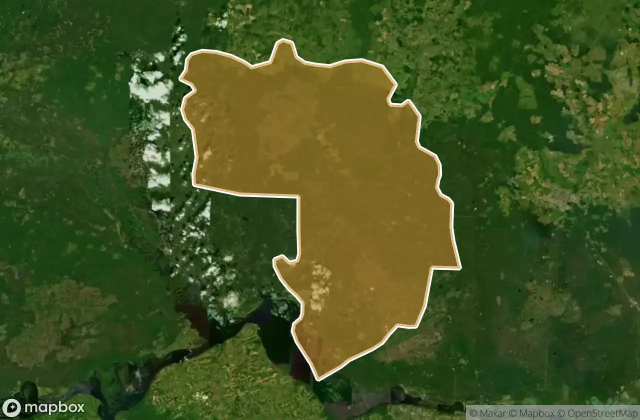
6
luoghi
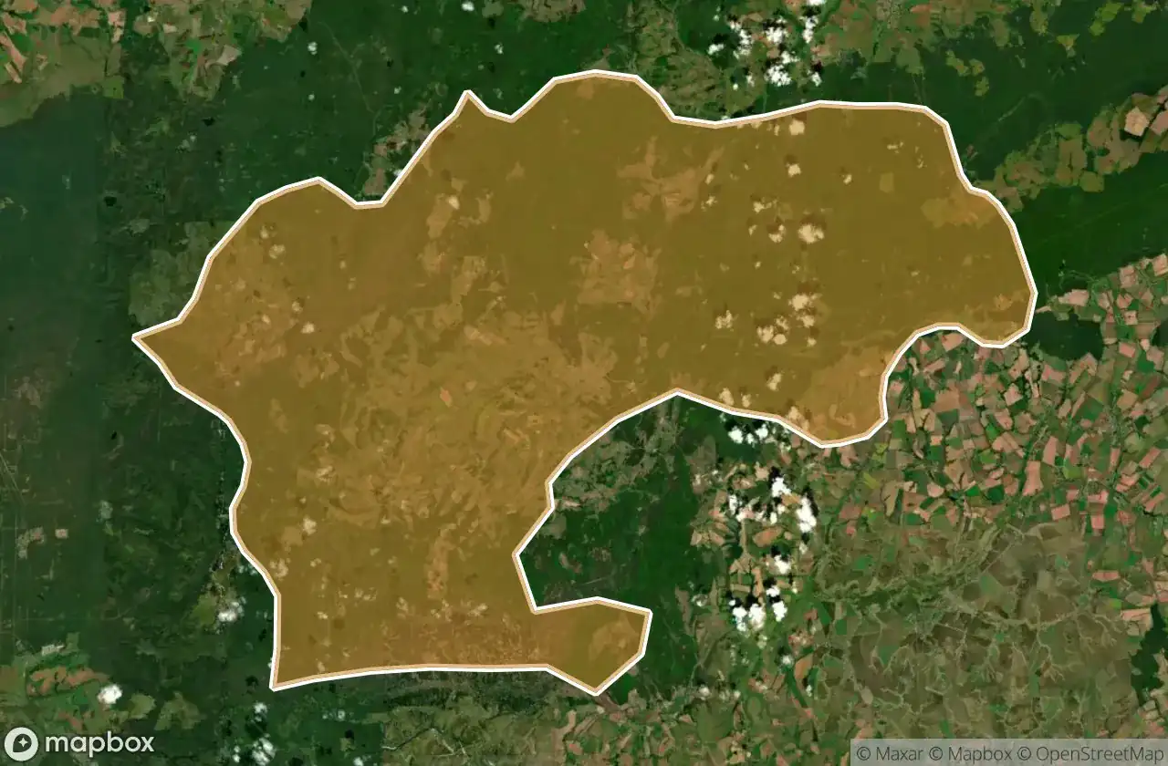
Zvenigovskiy Rayon