Mappa Urbex Dundalk
43 luoghi abbandonati a Dundalk
43
luoghi
Pagamento unico - accesso a vita
Pagamento 100% sicuro
Connessione SSL crittografata · Nessun dato bancario memorizzato
Aggiornamenti a vita
Temi inclusi in questo pacchetto
- Castelli
- Chiese
- Case abbandonate
Tutti i luoghi abbandonati di Dundalk
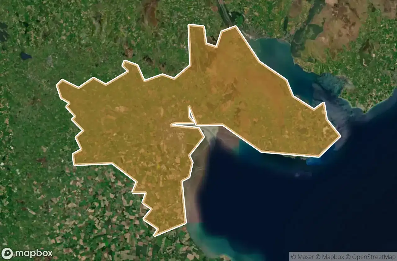
43 coordinate GPS verificate nel dipartimento di Dundalk, Louth, Irlanda.
Cerchi luoghi abbandonati a Dundalk, Louth, Irlanda? Urbex Maps offre 43 coordinate GPS verificate di edifici abbandonati in questa zona, tra cui Castelli, Chiese, Case abbandonate.
43
spot verificati
GPS
Google Maps, Waze
giugno 2026
ultimo aggiornamento
Dove trovare luoghi abbandonati a Dundalk?
I luoghi abbandonati a Dundalk si trovano tramite la mappa urbex interattiva di Urbex Maps con 43 coordinate GPS verificate. Le categorie principali sono Castelli, Chiese, Case abbandonate.
Tipi di luoghi abbandonati a Dundalk
- Castelli
- Chiese
- Case abbandonate
Spots a Dundalk

Ballug Castle

Belfield, Dundalk

Bring Centre, Dundalk

Church (ruins)

Commons Road, Dromiskin

Commons Road, Dromiskin

Dundalk

Dunmahon Castle

Greenore Road

Haggardstown ED, The Municipal District of Dundalk

Hoey's Lane

Jackie's Car Park, Dundalk

Jenkinstown ED, The Municipal District of Dundalk

Kilwirra Church

L31364

L3167

L3167

L3168

L3168

L51371

L51373--

L7066

L7067

L7073

L7074

L7074

L7074

L7074

L7076

L7078

L7135

L7162

Priorland Gardens, Dundalk

R173

R173

R178

Stephenstown House

Stephenstown House

The Imported Void

The Plotted Ghost Grid

Tullagee Bridge

White House

Willville