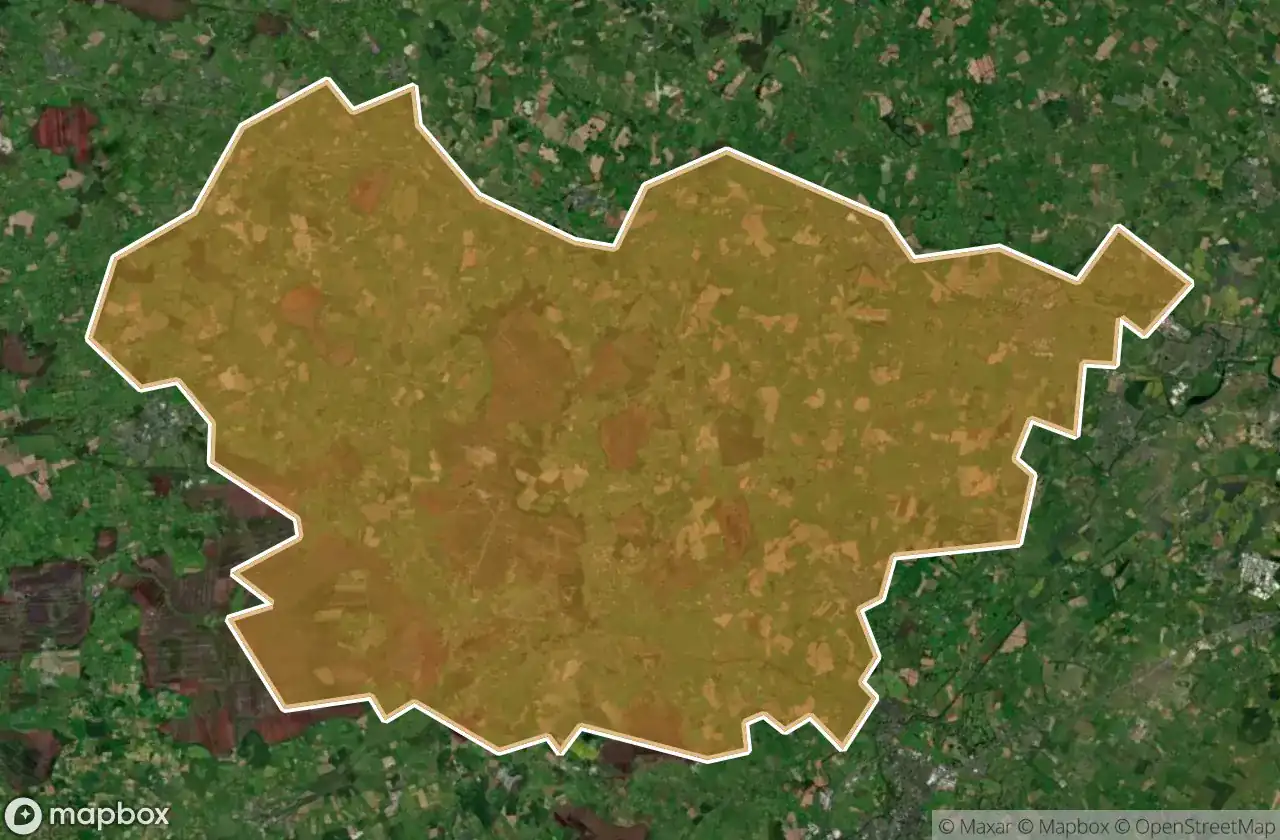
Mappa Urbex Clane Maynooth
76 luoghi abbandonati a Clane Maynooth
76
luoghi
Pagamento unico - accesso a vita
Pagamento 100% sicuro
Connessione SSL crittografata · Nessun dato bancario memorizzato
Aggiornamenti a vita
Temi inclusi in questo pacchetto
- Chiese
- Castelli
- Case abbandonate
- Rovine
Tutti i luoghi abbandonati di Clane Maynooth
76 coordinate GPS verificate nel dipartimento di Clane Maynooth, Kildare, Irlanda.
Cerchi luoghi abbandonati a Clane Maynooth, Kildare, Irlanda? Urbex Maps offre 76 coordinate GPS verificate di edifici abbandonati in questa zona, tra cui Chiese, Castelli, Case abbandonate, Rovine.
76
spot verificati
GPS
Google Maps, Waze
giugno 2026
ultimo aggiornamento
Dove trovare luoghi abbandonati a Clane Maynooth?
I luoghi abbandonati a Clane Maynooth si trovano tramite la mappa urbex interattiva di Urbex Maps con 76 coordinate GPS verificate. Le categorie principali sono Chiese, Castelli, Case abbandonate, Rovine.
Tipi di luoghi abbandonati a Clane Maynooth
- Chiese
- Castelli
- Case abbandonate
- Rovine
Spots a Clane Maynooth

Ballynadrumny Cemetery

Balraheen Church

Bond Bridge

Carbury Castle

Carrick Castle

Chapel of St. Patrick of Killeighter

Church Street

Cloncurry ED, The Municipal District of Clane — Maynooth

Cloncurry ED, The Municipal District of Clane — Maynooth

Clonkeeran House

Confey Road

Donaghmore

Dunfierth Church

Dunfierth Park Road

Dunfierth Park Road

Edenderry Road

Geraldine's Castle

Grand Canal Way

Grand Canal Way

Grange Castle

Handball Courts (Ruins)

Jacob's Well Road

Kilcock

Kilcock ED, The Municipal District of Clane — Maynooth

Kilcock ED, The Municipal District of Clane — Maynooth

Killybegs House

Kinnafad Castle (ruins)

L1001

L1003

L1003

L1006

L1009

L1010

L1010

L1023

L5007

L5010, Kilshanchoe

L5017

L5017

L5019

L5022

L5025

L5025

L5028

L5028

L5035

L5065

L50664

L5076

L5077

Laraghbryan Church

Lodgepark

M4

M4

Mylerstown Castle

Oldtowndonore

R148

R148

R160

R160
+ 16 altri spots