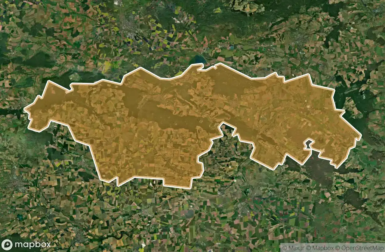
Mappa Urbex Kyffhauserkreis
40 luoghi abbandonati a Kyffhauserkreis
40
luoghi
Pagamento unico - accesso a vita
Pagamento 100% sicuro
Connessione SSL crittografata · Nessun dato bancario memorizzato
Aggiornamenti a vita
Temi inclusi in questo pacchetto
- Castelli
- Stazioni
Tutti i luoghi abbandonati di Kyffhauserkreis
40 coordinate GPS verificate nel dipartimento di Kyffhauserkreis, Thuringen, Germania.
Cerchi luoghi abbandonati a Kyffhauserkreis, Thuringen, Germania? Urbex Maps offre 40 coordinate GPS verificate di edifici abbandonati in questa zona, tra cui Castelli, Stazioni.
40
spot verificati
GPS
Google Maps, Waze
giugno 2026
ultimo aggiornamento
Dove trovare luoghi abbandonati a Kyffhauserkreis?
I luoghi abbandonati a Kyffhauserkreis si trovano tramite la mappa urbex interattiva di Urbex Maps con 40 coordinate GPS verificate. Le categorie principali sono Castelli, Stazioni.
Tipi di luoghi abbandonati a Kyffhauserkreis
- Castelli
- Stazioni
Spots a Kyffhauserkreis

Am Bahndamm, Bretleben

Am Bahnhof, Roßleben-Wiehe

Am Bahnhof, Roßleben-Wiehe

Am Bahnhof, Sondershausen

Am Bahnhof, Sondershausen

An den Linden, Hohenebra

B 84, Abtsbessingen

B 85, Bad Frankenhausen/Kyffhäuser

Bad Frankenhausen

Bombentrichter 2.WK, Gundersleben

Drei Linden, Bottendorf

Echoes of the Digital Path

Fabrikstraße, Roßleben-Wiehe

Grossenehrich

Harzstraße, Artern

Harzstraße, Artern

Heldrungen

K 519, Sondershausen

Kohlstätte, Kyffhäuserland

Kohlstätte, Kyffhäuserland

Napptal, Bad Frankenhausen/Kyffhäuser

Obere Sachsenburg, Oldisleben

Oldisleben

Ortsstraße, Borxleben

Otto-Brünner-Straße, Artern

Riedstraße, Greußen

Rossleben

Rothenburg, Kyffhäuserland

Schernberg

Schernberg

Schloss Ichstedt

Schloss Rathsfeld, Kyffhäuserland

Steinbruch, Sondershausen

Steinbrüche im oberen Steintal, Kyffhäuserland

The Geometry of Silence

The Latent Coordinate

Thomas-Müntzer-Straße, Bad Frankenhausen/Kyffhäuser

Traced From Elsewhere

Unter den Linden, Gundersleben

Zum Bahnhof, Artern