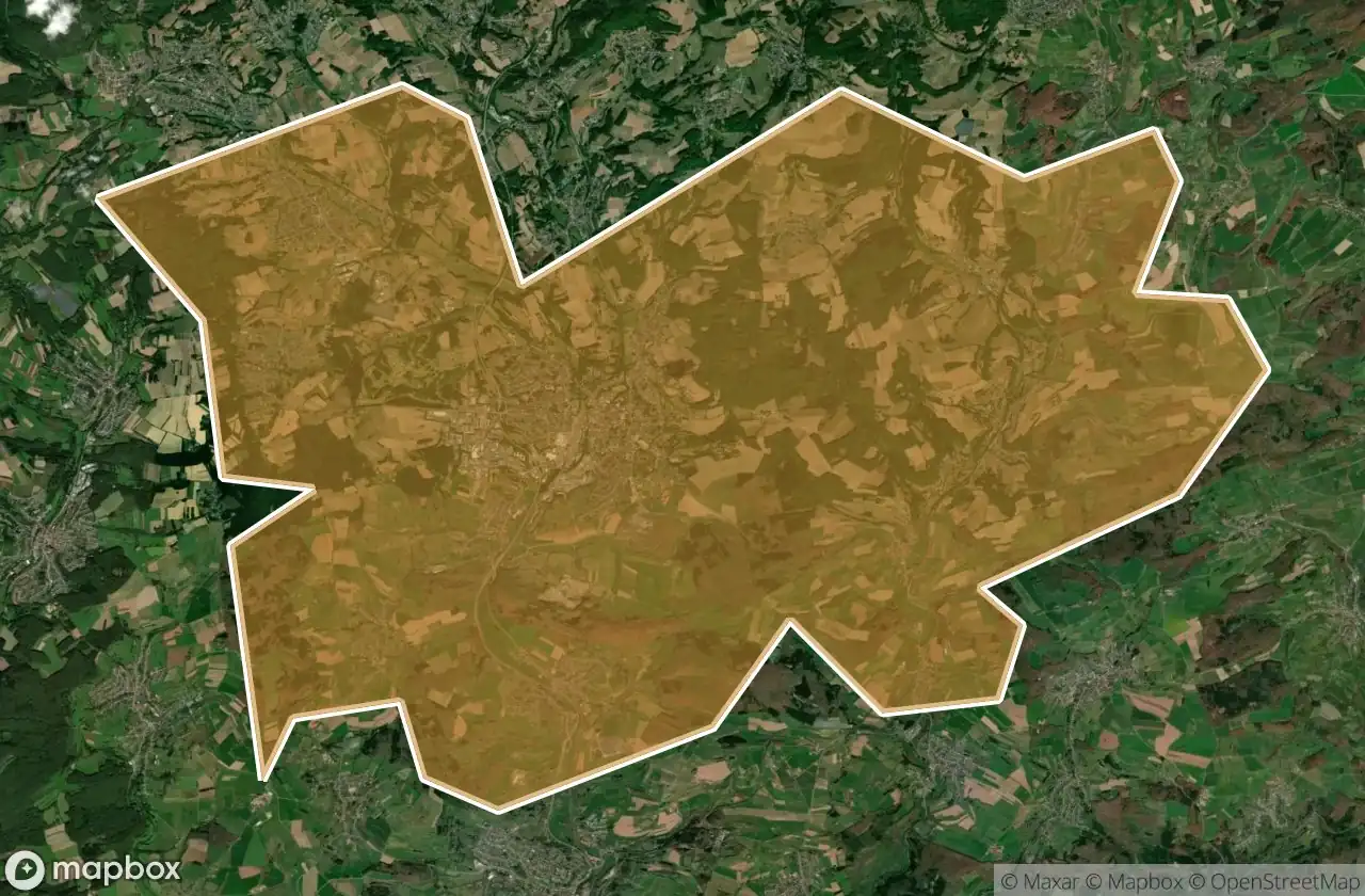
Mappa Urbex St Wendel
55 luoghi abbandonati a St Wendel
55
luoghi
Pagamento unico - accesso a vita
Pagamento 100% sicuro
Connessione SSL crittografata · Nessun dato bancario memorizzato
Aggiornamenti a vita
Temi inclusi in questo pacchetto
- Bunker
- Militare
- Rovine
Tutti i luoghi abbandonati di St Wendel
55 coordinate GPS verificate nel dipartimento di St Wendel, Saarland, Germania.
Cerchi luoghi abbandonati a St Wendel, Saarland, Germania? Urbex Maps offre 55 coordinate GPS verificate di edifici abbandonati in questa zona, tra cui Bunker, Militare, Rovine.
55
spot verificati
GPS
Google Maps, Waze
giugno 2026
ultimo aggiornamento
Dove trovare luoghi abbandonati a St Wendel?
I luoghi abbandonati a St Wendel si trovano tramite la mappa urbex interattiva di Urbex Maps con 55 coordinate GPS verificate. Le categorie principali sono Bunker, Militare, Rovine.
Tipi di luoghi abbandonati a St Wendel
- Bunker
- Militare
- Rovine
Spots a St Wendel

Auenhof, Hirstein

Auf dem Schaumberg, Tholey

Auf der Lehn, Nohfelden

Bahnradweg Sankt Wendeler Land, Freisen

Bosen

Buchwaldstraße, Nohfelden

Eichenstraße, Freisen

Flächenbachstraße, Bliesen

Harschberger Hof, Sankt Wendel

Hinterwiesstraße, Freisen

Hubertusstraße, Nonnweiler

Höckerlinie (Westwall), Nonnweiler

Im Ambruch, Namborn

In der Held, Nonnweiler

In der Kripp, Nonnweiler

K 62, Hahnweiler

K 62, Hahnweiler

Keltenring, Winterbach

L 134, Sankt Wendel

L 134, Sankt Wendel

L 319, Nohfelden

L 322, Nohfelden

L 322, Nohfelden

Löschbachstraße, Nohfelden

Mainzweiler

Mariahütte, Nonnweiler

Moosbruchweg, Nonnweiler

Namborn

Neuhutten

Obersötern, Nohfelden

Schloßstraße, Nohfelden

Shadows In The Coordinates

Shadows of the Vector

The Geometry of Silence

The Geometry of Silence

The Imported Geometry

The Imported Silence

The Imported Silent Vector

The Imported Void

The Imported Void

The Map’s Silent Echo

Tholey

Traced From Silent Coordinates

Traces of the Mapped Void

Traces of the Mapped Void

Walhausener Weg, Oberthal

Walhausener Weg, Oberthal

Water storage bunker

Wiesentalstraße, Namborn

Wiesentalstraße, Namborn

Zollsiedlung, Nohfelden

Zollsiedlung, Nohfelden

Zollsiedlung, Nohfelden

Zollsiedlung, Nohfelden

Zum Heidenkopf, Nohfelden