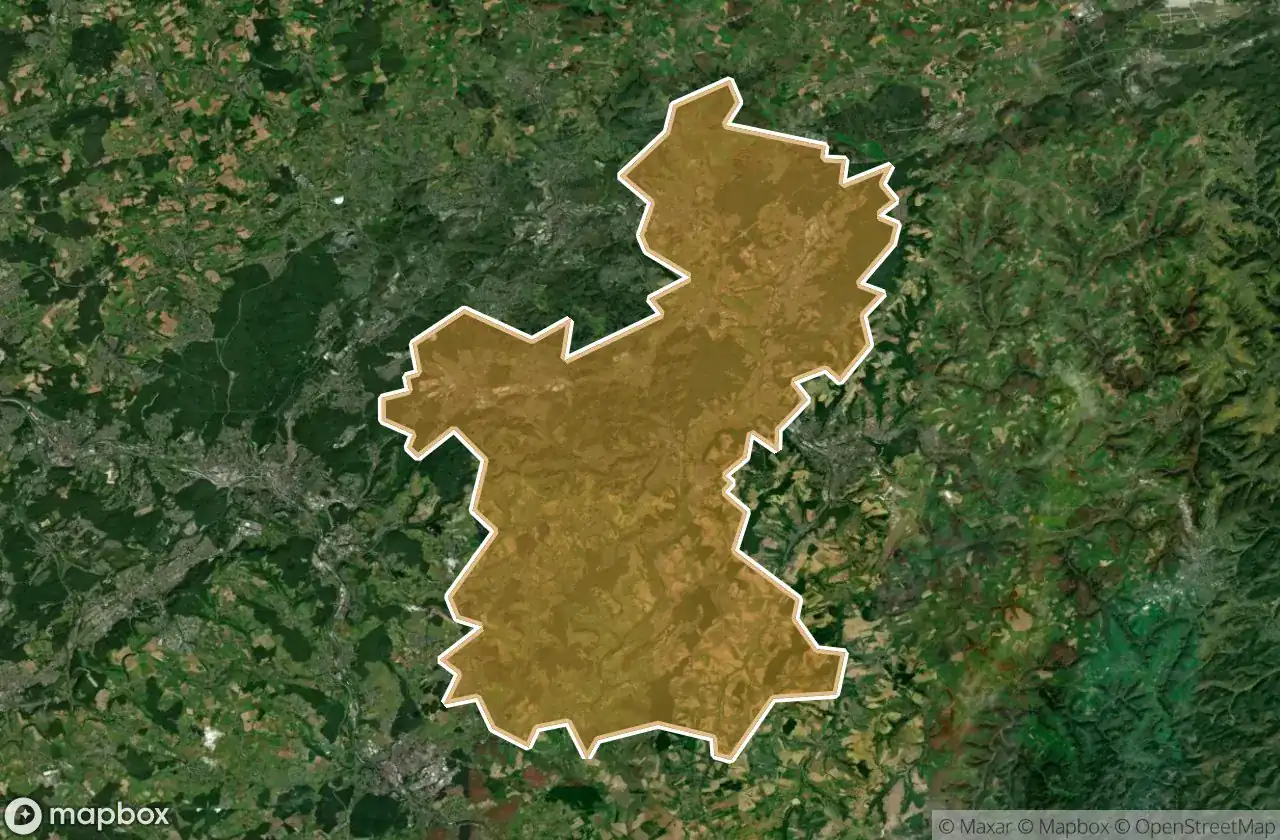
Mappa Urbex Saarpfalz Kreis
34 luoghi abbandonati a Saarpfalz Kreis
34
luoghi
Pagamento unico - accesso a vita
Pagamento 100% sicuro
Connessione SSL crittografata · Nessun dato bancario memorizzato
Aggiornamenti a vita
Temi inclusi in questo pacchetto
- Bunker
- Rovine
- Militare
Tutti i luoghi abbandonati di Saarpfalz Kreis
34 coordinate GPS verificate nel dipartimento di Saarpfalz Kreis, Saarland, Germania.
Cerchi luoghi abbandonati a Saarpfalz Kreis, Saarland, Germania? Urbex Maps offre 34 coordinate GPS verificate di edifici abbandonati in questa zona, tra cui Bunker, Rovine, Militare.
34
spot verificati
GPS
Google Maps, Waze
giugno 2026
ultimo aggiornamento
Dove trovare luoghi abbandonati a Saarpfalz Kreis?
I luoghi abbandonati a Saarpfalz Kreis si trovano tramite la mappa urbex interattiva di Urbex Maps con 34 coordinate GPS verificate. Le categorie principali sono Bunker, Rovine, Militare.
Tipi di luoghi abbandonati a Saarpfalz Kreis
- Bunker
- Rovine
- Militare
Spots a Saarpfalz Kreis

Allmendstraße, Niederwürzbach

Alte Schmelz, Sankt Ingbert

Am Feilbach, Bexbach

Am Gedünner, Homburg

Am Gleisbauhof, Kirkel

Am grauen Bannstein, Heckendalheim

Am grauen Bannstein, Heckendalheim

Artifact of the Transfer

B 423, Webenheim

Blücherstraße, Sankt Ingbert

Friedrichstraße, Reinheim

Gersheim

Im Gräsertal, Limbach

Industriering, Blieskastel

Kirkel

L 102, Riesweiler

Obere Kaiserstraße, Sankt Ingbert

Otto-Walle-Straße, Heckendalheim

Plotting The Silent Void

Robert-Bosch-Straße, Homburg

Robert-Schuman-Straße, Reinheim

Sankt Ingbert

Sankt Ingbert

Sankt Ingbert

St. Ingberter Straße, Heckendalheim

Sulgerhof

The Geometry of Shadows

Traced Beyond the Grid

Traced Beyond the Grid

Traces in the Vector

Traces of the Mesh

Vector of Residual Silence

ehemaliger Bahnhof Jägersburg, Jägersburg

ehm. Gassenmühle