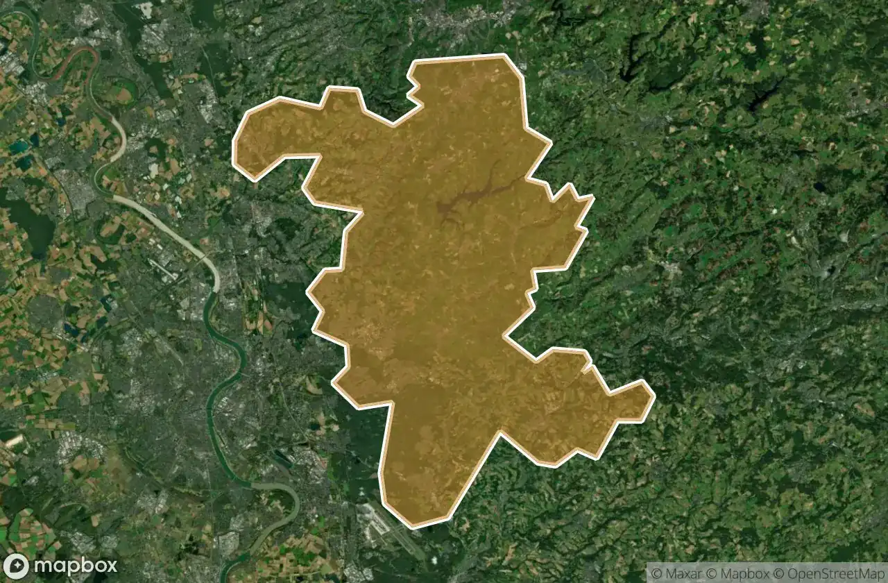
Mappa Urbex Rheinisch Bergischer Kreis
55 luoghi abbandonati a Rheinisch Bergischer Kreis
55
luoghi
Pagamento unico - accesso a vita
Pagamento 100% sicuro
Connessione SSL crittografata · Nessun dato bancario memorizzato
Aggiornamenti a vita
Temi inclusi in questo pacchetto
- Rovine
- Bunker
- Militare
- Fabbriche abbandonate
- Case abbandonate
- Mulini
Tutti i luoghi abbandonati di Rheinisch Bergischer Kreis
55 coordinate GPS verificate nel dipartimento di Rheinisch Bergischer Kreis, Nordrhein Westfalen, Germania.
Cerchi luoghi abbandonati a Rheinisch Bergischer Kreis, Nordrhein Westfalen, Germania? Urbex Maps offre 55 coordinate GPS verificate di edifici abbandonati in questa zona, tra cui Rovine, Bunker, Militare, Fabbriche abbandonate, Case abbandonate, Mulini.
55
spot verificati
GPS
Google Maps, Waze
giugno 2026
ultimo aggiornamento
Dove trovare luoghi abbandonati a Rheinisch Bergischer Kreis?
I luoghi abbandonati a Rheinisch Bergischer Kreis si trovano tramite la mappa urbex interattiva di Urbex Maps con 55 coordinate GPS verificate. Le categorie principali sono Rovine, Bunker, Militare, Fabbriche abbandonate, Case abbandonate, Mulini.
Tipi di luoghi abbandonati a Rheinisch Bergischer Kreis
- Rovine
- Bunker
- Militare
- Fabbriche abbandonate
- Case abbandonate
- Mulini
Spots a Rheinisch Bergischer Kreis

An der Gohrsmühle, Bergisch Gladbach

Biker factory

Brüderstraße, Bergisch Gladbach

Burscheid

Eifgenweg, Burscheid

Ghost Within the Array

Grube Apfel, Moitzfeld

Grube Eduard & Amalia

Grube Napoleon

Hauserhof, Dürscheid

House Armchair / Haus Sessel

Hunger, Höffe

Igeler Mühle

Kallenberg, Buchholzen

Klasheider Weg, Köln

Klasmühle, Scheuren

Kolfhausen, Wermelskirchen

Kradepohlsmühle, Bergisch Gladbach

Kunsthalle Wahner Heide, Rösrath

Leichlingen

Mapped Into Silent Static

Neuensaal, Bechen

Neukirchener Straße, Balken

Oberschallemich, Eikamp

Odenthal

Rosrath

Rosrath

Rosrath

Rosrath

Salamander-Trail, Overath

Schnabelsmühle, Bergisch Gladbach

Sülze, Hoffnungsthal

The Encoded Void

The Imported Silence

The Imported Silence

The Latent Coordinate

The Latent Coordinate

The Plotted Silence

Tiefstollen der Grube Grünewald

Trace of Encoded Silence

Trace of the Grid

Traces of Mapped Silence

Traces of Spectral Coordinates

Traces of the Imported Silence

Traces of the Latent Grid

Traces of the Plotted Void

Traces of the Transfer

Traces of the Uploaded

Vierkotten, Hoffnungsthal

Wermelskirchen

Wermelskirchen

Wermelskirchen

Wermelskirchen

Whispers of the Plotted Void

Ziegeleiweg, Wermelskirchen