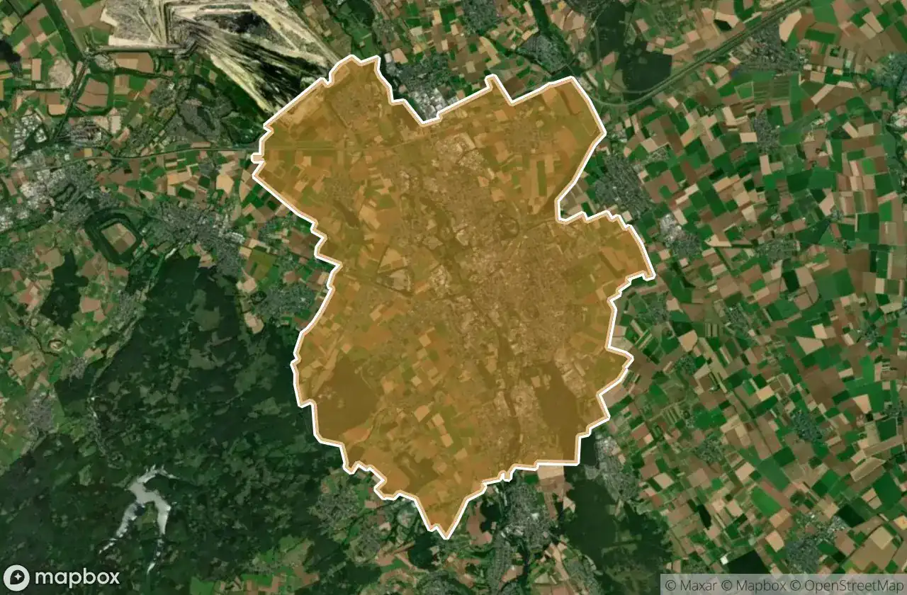
Mappa Urbex Duren
33 luoghi abbandonati a Duren
33
luoghi
Pagamento unico - accesso a vita
Pagamento 100% sicuro
Connessione SSL crittografata · Nessun dato bancario memorizzato
Aggiornamenti a vita
Temi inclusi in questo pacchetto
- Castelli
- Case abbandonate
- Rovine
Tutti i luoghi abbandonati di Duren
33 coordinate GPS verificate nel dipartimento di Duren, Nordrhein Westfalen, Germania.
Cerchi luoghi abbandonati a Duren, Nordrhein Westfalen, Germania? Urbex Maps offre 33 coordinate GPS verificate di edifici abbandonati in questa zona, tra cui Castelli, Case abbandonate, Rovine.
33
spot verificati
GPS
Google Maps, Waze
giugno 2026
ultimo aggiornamento
Dove trovare luoghi abbandonati a Duren?
I luoghi abbandonati a Duren si trovano tramite la mappa urbex interattiva di Urbex Maps con 33 coordinate GPS verificate. Le categorie principali sono Castelli, Case abbandonate, Rovine.
Tipi di luoghi abbandonati a Duren
- Castelli
- Case abbandonate
- Rovine
Spots a Duren

Bleibergwerk

Dead Spot - Eifel Clinics

Echoes in the Glade

Echoes of the Iron Heart

Echoes of the Rusted Pulse

Ehemaliges Eisenbahn-Ausbesserungswerk Jülich-Süd

Haus Overbach-Nord

Haus Overbach-Ost

Kellenberger Kamp

Lamersdorf

Langenbroich-Stetternicher Wald

Lord of The Rings / Der Herr der Ringe

Nideggen

Pellini-Weiher

Pierer Wald

Rur in Jülich

Rurauenwald-Indemündung

Rurmäander zwischen Floßdorf und Broich

Schloss Kellenberg

Schönblick, Hasenfeld

Scrapyard / Schrottplatz

Shadows of the Harvest

Stillness Between the Fields

Stillness in Plain Sight

The Imported Silence

The Pale Shroud of Steel

Treibstoffdepot

Trierer Straße, Arnoldsweiler

Valdersweg, Morschenich

Vettweiss

Wasserburg Linzenich

Where the Furrows End

Where the Harvest Sleeps