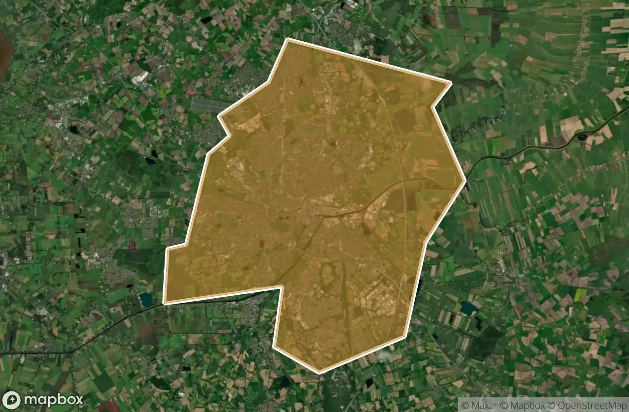
Mappa Urbex Oldenburg Kreisfreie Stadt
35 luoghi abbandonati a Oldenburg Kreisfreie Stadt
35
luoghi
Pagamento unico - accesso a vita
Pagamento 100% sicuro
Connessione SSL crittografata · Nessun dato bancario memorizzato
Aggiornamenti a vita
Temi inclusi in questo pacchetto
- Case abbandonate
Tutti i luoghi abbandonati di Oldenburg Kreisfreie Stadt
35 coordinate GPS verificate nel dipartimento di Oldenburg Kreisfreie Stadt, Niedersachsen, Germania.
Cerchi luoghi abbandonati a Oldenburg Kreisfreie Stadt, Niedersachsen, Germania? Urbex Maps offre 35 coordinate GPS verificate di edifici abbandonati in questa zona, tra cui Case abbandonate.
35
spot verificati
GPS
Google Maps, Waze
giugno 2026
ultimo aggiornamento
Dove trovare luoghi abbandonati a Oldenburg Kreisfreie Stadt?
I luoghi abbandonati a Oldenburg Kreisfreie Stadt si trovano tramite la mappa urbex interattiva di Urbex Maps con 35 coordinate GPS verificate. Le categorie principali sono Case abbandonate.
Tipi di luoghi abbandonati a Oldenburg Kreisfreie Stadt
- Case abbandonate
Spots a Oldenburg Kreisfreie Stadt

Alter Stadthafen, Oldenburg

Am Ende, Oldenburg

Am Schmeel, Oldenburg

Am Stadtmuseum, Oldenburg

Big Student Living House

Bremer Heerstraße, Oldenburg

C & A, Oldenburg

Cloppenburger Straße, Oldenburg

Cloppenburger Straße, Oldenburg

Combi, Oldenburg

Echoes Within The Mesh

Eßkamp, Oldenburg

Fragments of the Schema

Gerhard-Stalling-Straße, Oldenburg

Haarenfeld, Oldenburg

Haarenfeld, Oldenburg

Holler Landstraße, Oldenburg

Hörneweg, Oldenburg

Lasiusstraße, Oldenburg

Leo-Trepp-Straße, Oldenburg

Oldenburg

Ottosiedlung, Oldenburg

Ottosiedlung, Oldenburg

POCO Außenlager, Oldenburg

Rundschutzbau

Shadows of the Grid

The Geometry of Silence

The Imported Echo

The Imported Silence

The Imported Spatial Echo

The Imported Void

The Plotted Silence

Tiefbunker

Traces in the Metadata

Tweelbäker Weg, Oldenburg