Mappa Urbex Bayreuth
27 luoghi abbandonati a Bayreuth
27
luoghi
Pagamento unico - accesso a vita
Pagamento 100% sicuro
Connessione SSL crittografata · Nessun dato bancario memorizzato
Aggiornamenti a vita
Temi inclusi in questo pacchetto
- Castelli
- Bunker
- Militare
Tutti i luoghi abbandonati di Bayreuth
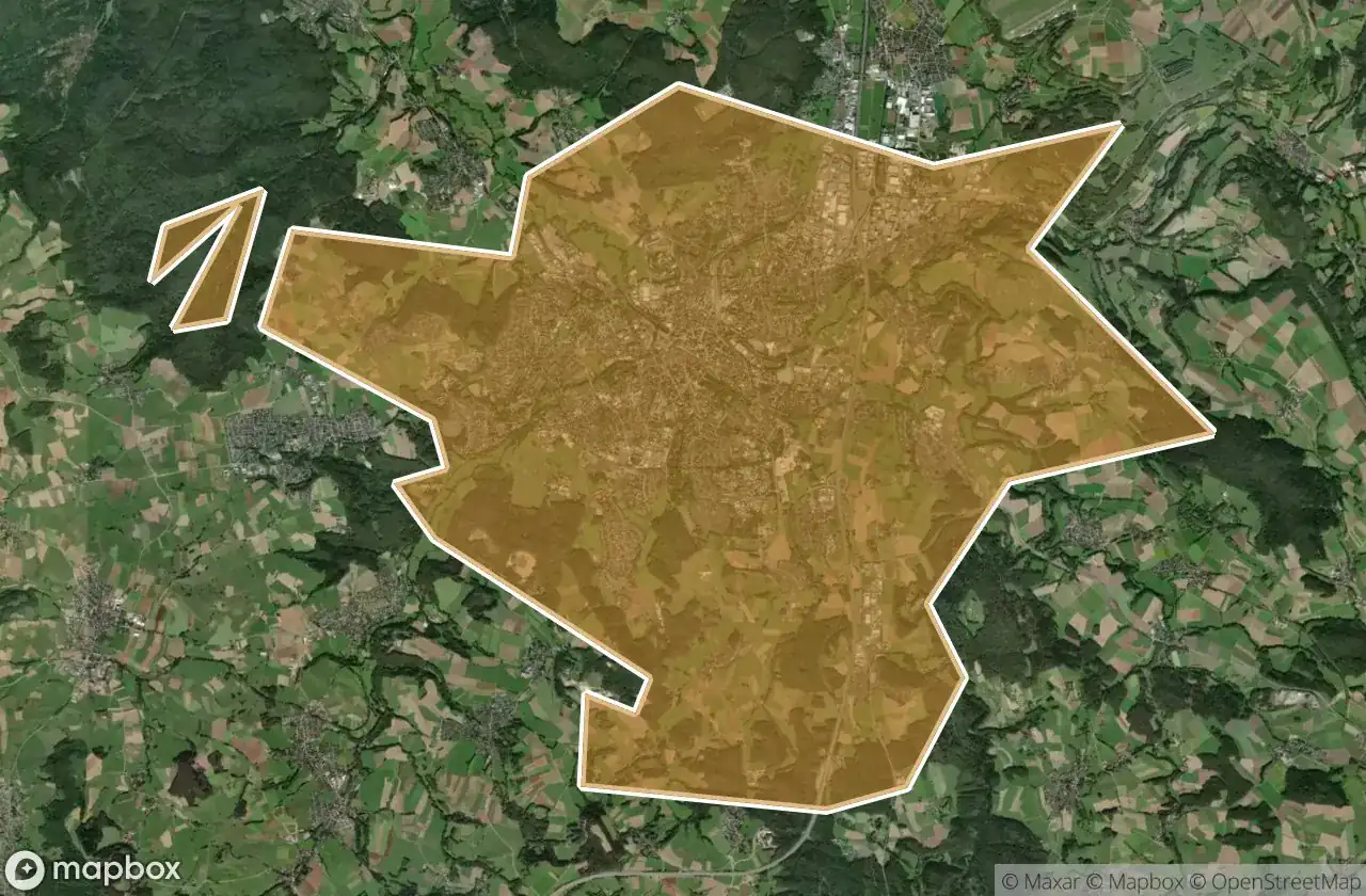
27 coordinate GPS verificate nel dipartimento di Bayreuth, Bayern, Germania.
Cerchi luoghi abbandonati a Bayreuth, Bayern, Germania? Urbex Maps offre 27 coordinate GPS verificate di edifici abbandonati in questa zona, tra cui Castelli, Bunker, Militare.
27
spot verificati
GPS
Google Maps, Waze
giugno 2026
ultimo aggiornamento
Dove trovare luoghi abbandonati a Bayreuth?
I luoghi abbandonati a Bayreuth si trovano tramite la mappa urbex interattiva di Urbex Maps con 27 coordinate GPS verificate. Le categorie principali sono Castelli, Bunker, Militare.
Tipi di luoghi abbandonati a Bayreuth
- Castelli
- Bunker
- Militare
Spots a Bayreuth

B 2, Weidensees

Bahnhofstraße, Kirchenlaibach

Bischofsgrun

Cure Home / Kur heim

Dead Spot - Crystal Baths / Kristallbäder

Dead Spot - Funcity

Encoded Geometry of Silence

Funcity

Ghost within the Geometry

Hammermühle, Langenloh

Huth, Schamelsberg

Matzenberg, Donndorf

Meilerplatz Birk

Panoramasteig, Grenzhammer

Plotted Beyond the Edge

Ruine der Wallburg Hohe Warte

Röhrig, Bindlacher Berg

Röhrig, Bindlacher Berg

Schermshöhe, Riegelstein

Schlossturm, Bad Berneck

Shadows in the Geometry

The Geometry of Silence

The Imported Silence

Traces in the Grid

Traces in the Grid

Vectors of the Void

Wagenthal, Oberwarmensteinach